In many countries, climbing the highest mountain is just for professionals, or for expeditions. Mount Fuji in Japan has with it’s 3776m just the right height to be a bit of a challenge, but being doable for an average trained person. One starts with looking up reports from others and wonders: what should I take with me? Is my condition good enough to do it? Do I need maps and so on?
In August, with 39°C in Tokyo, I planned to catch an early bus to Mount Fuji, go up, descend and go back to Tokyo. The early buses for the next day were already gone, so I settled with a ticket for the last bus of that day, and climbing up at night. I got myself a headlight, and got onto the bus. I wore long trousers, in my backpack I had a winter jacket, winter hat, gloves which I use for cycling in winter, something to drink and a few onigiri - Japanese rice balls.
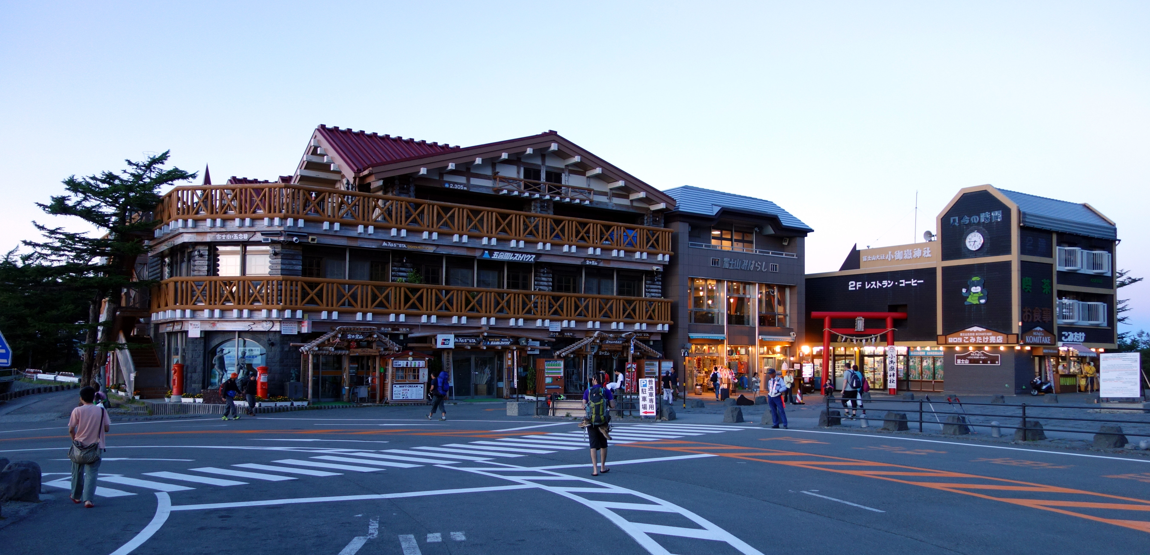
There are 4 main pathes to the Fujisan summit, I used the Yoshida trail. The bus brought me to the ‘Fuji Subaru Line 5th Station’, ~2300m above sea level. First time I saw something like this, it has a bit of a feeling of a base camp for expeditions. One can rest here, buy equipment or supplies - I bought a wooden hiking pole, recommended for stabilizing while walking.
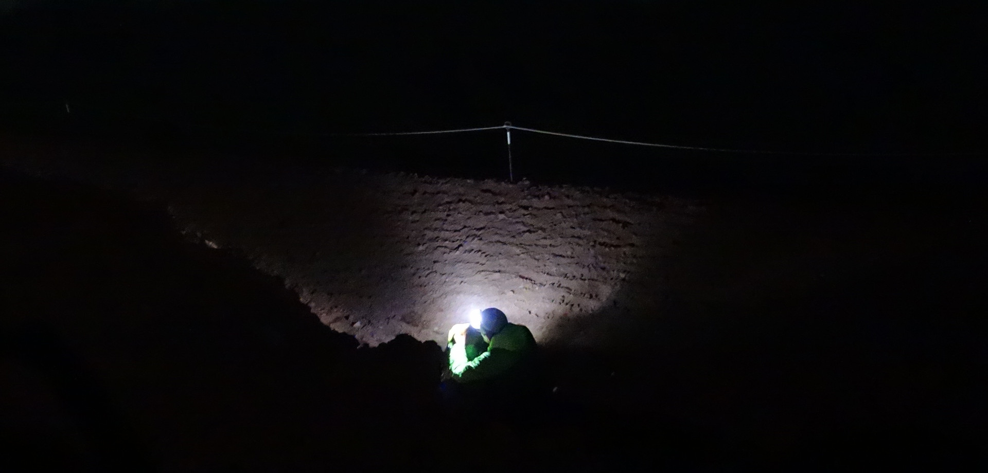
At 19:22, I started to climb up, feeling a strange mixture of excitement and not knowing how things would go. From 5th station to the peak it’s just 6km distance wise, but 1400m height difference.
Climbers continued to come down from the Fuji. Someone said ‘諦めた方がいいよ!’ (‘It is wise to give up!’). Made me think for a moment.. but I got no facts to decide on. I can anyway also turn around later when I think it makes sense. Around 8:30pm it gets cold, I put on the winter jacket.
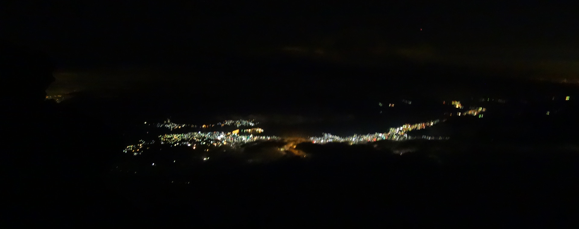
Looking towards the peak, lights could be seen. The stations are numbered, so after 5th station I expected to reach the 6th station. I did not use a map - the trail is marked really great. Android app OsmAnd is using OpenStreetMap data and can work offline, but I did not need it.
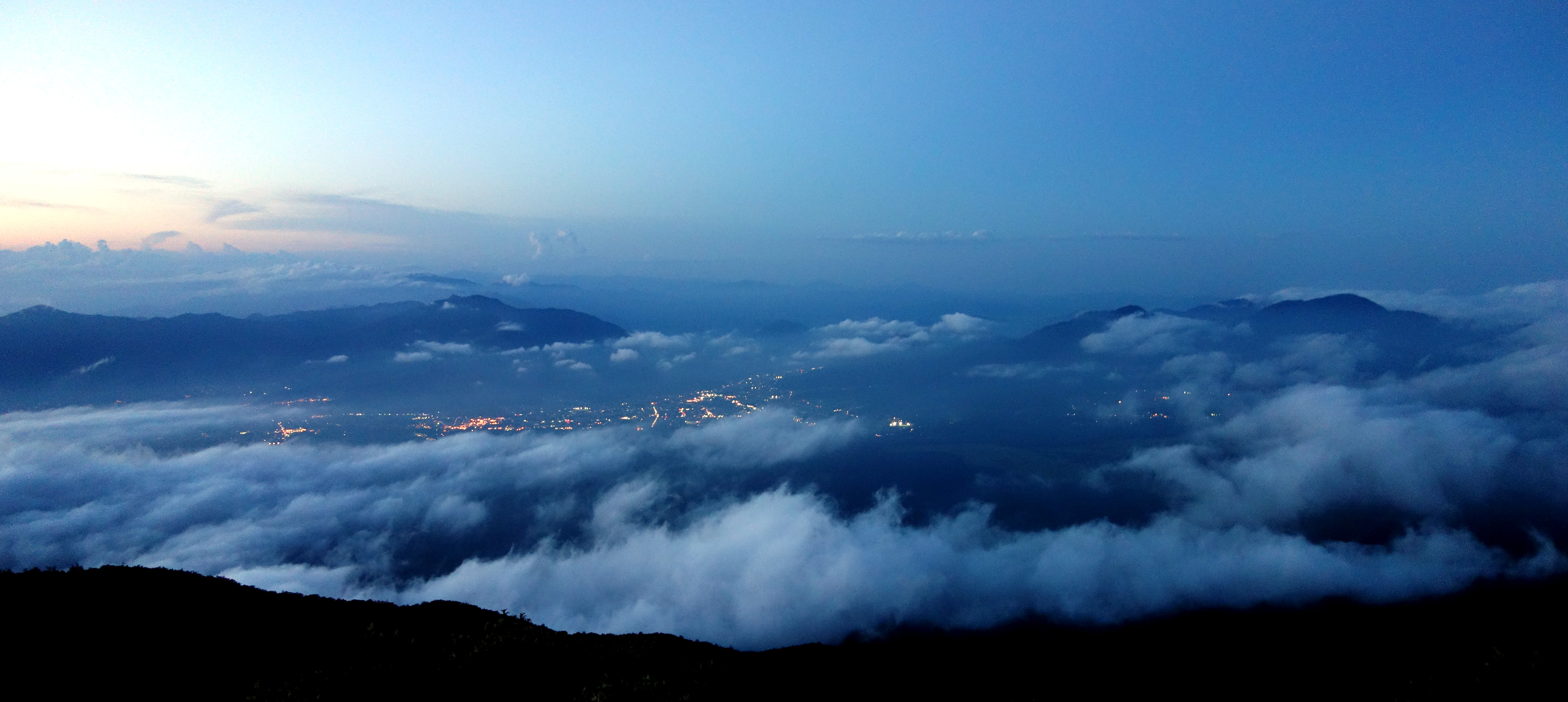
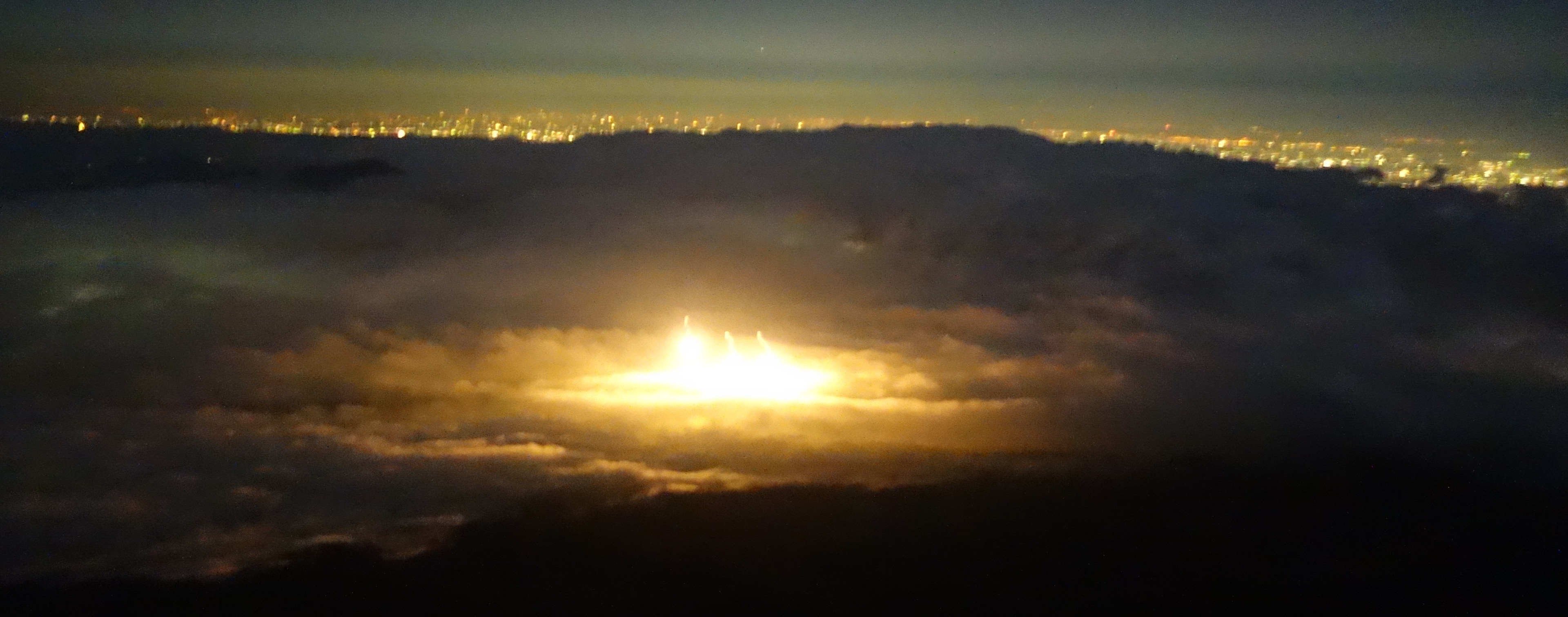
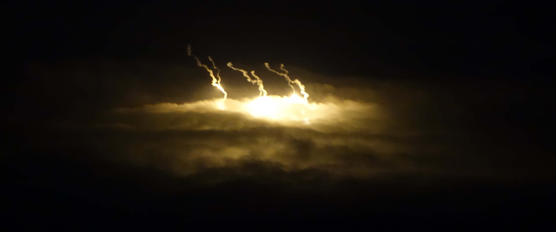
With the night starting, it also got silent - no traffic or industry noise, just silence. The Japanese word for peace, 平和/へいわ/heiwa came to mind. I used the headlight for some time, but turned it off as the moonlight was sufficient. The silence got interrupted by either fireworks or an army targeting exercise, very nice to see from here. At 21:16 I met the last descending climber, a great opportunity to rest and have a chat. I’m still full of this uncertainty, “will I safely make it to the top?”.
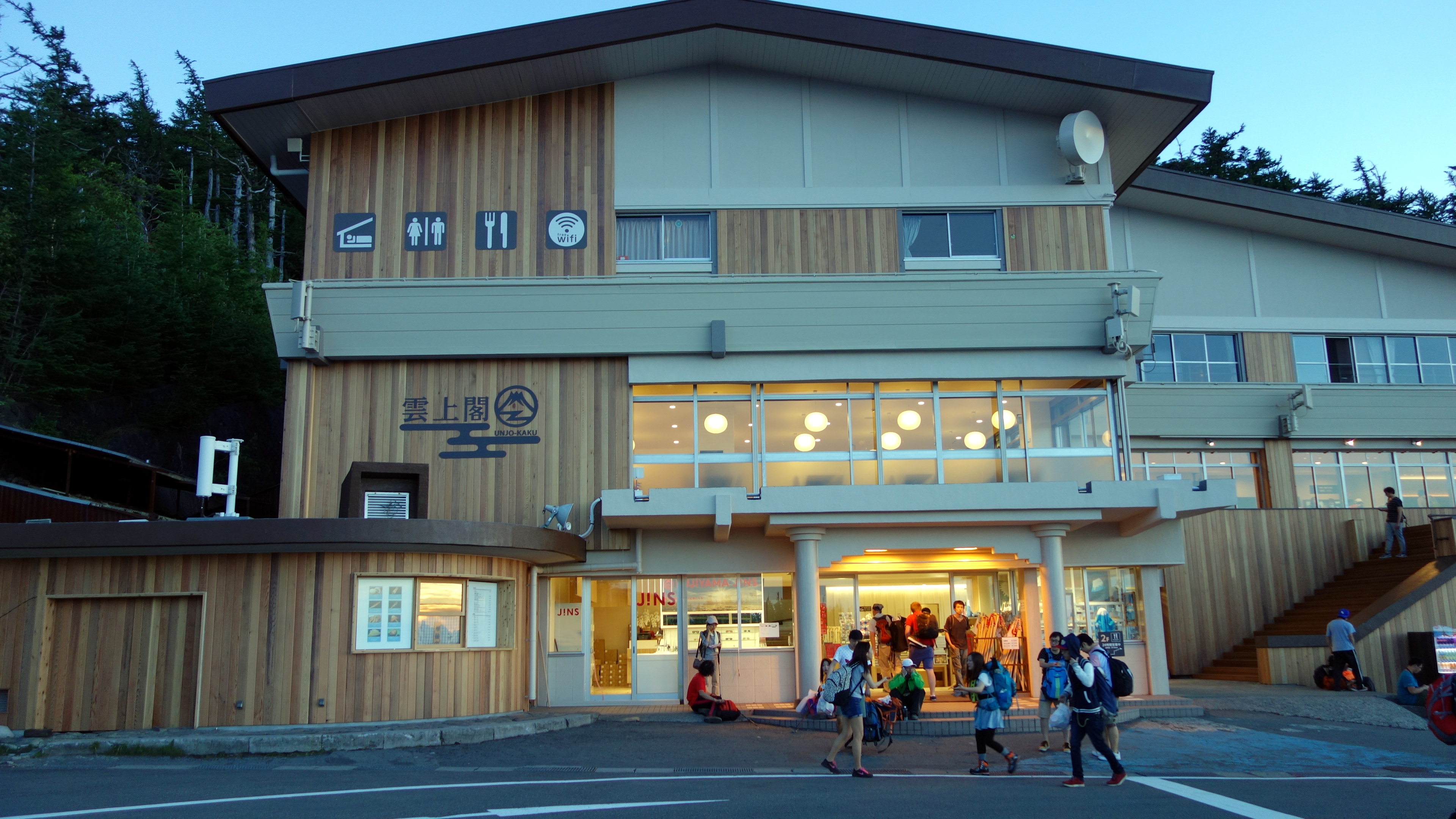
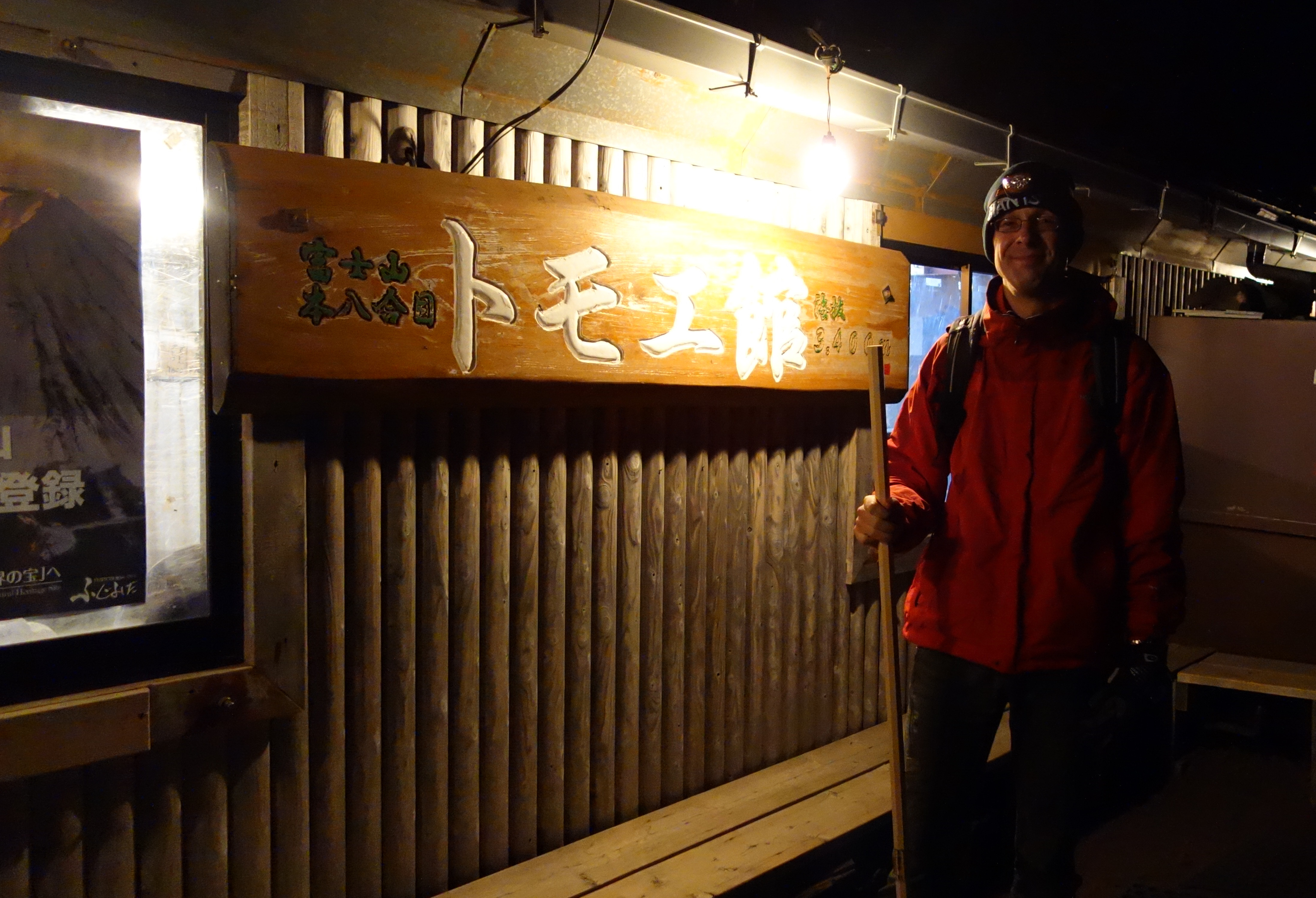
I reached a point with a map, and a riddle got solved. I had not reached any stations for some time - had I missed them? Or was I slower than I had expected? The Yoshida-path has actually 2 pathes: one with better views and mostly used to climbing up, the other a bit shorter and used for descending - I had walked up that one. A bit later I arrived at the 8th station, 3400m. Climbing time was 3 hours.
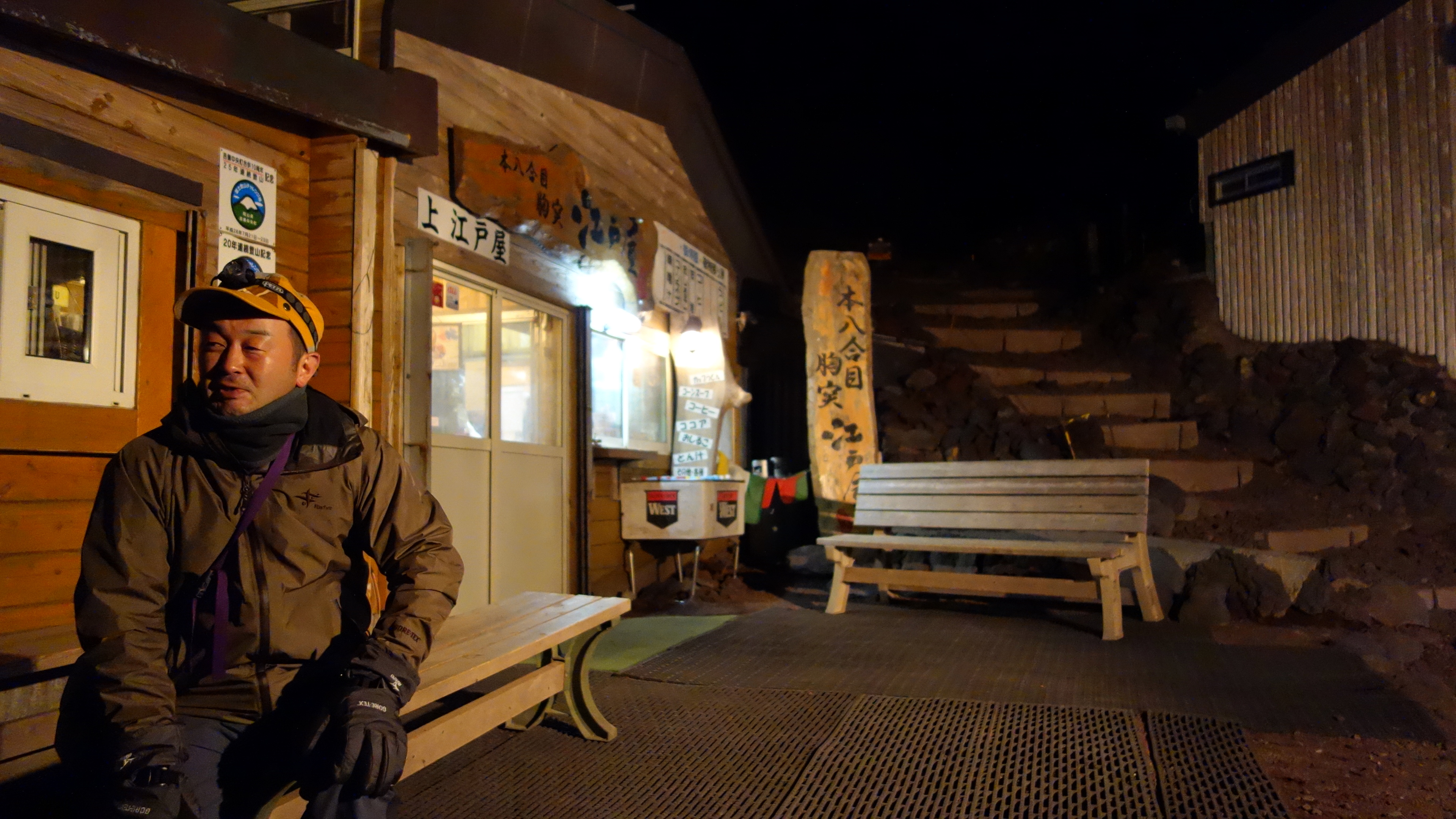
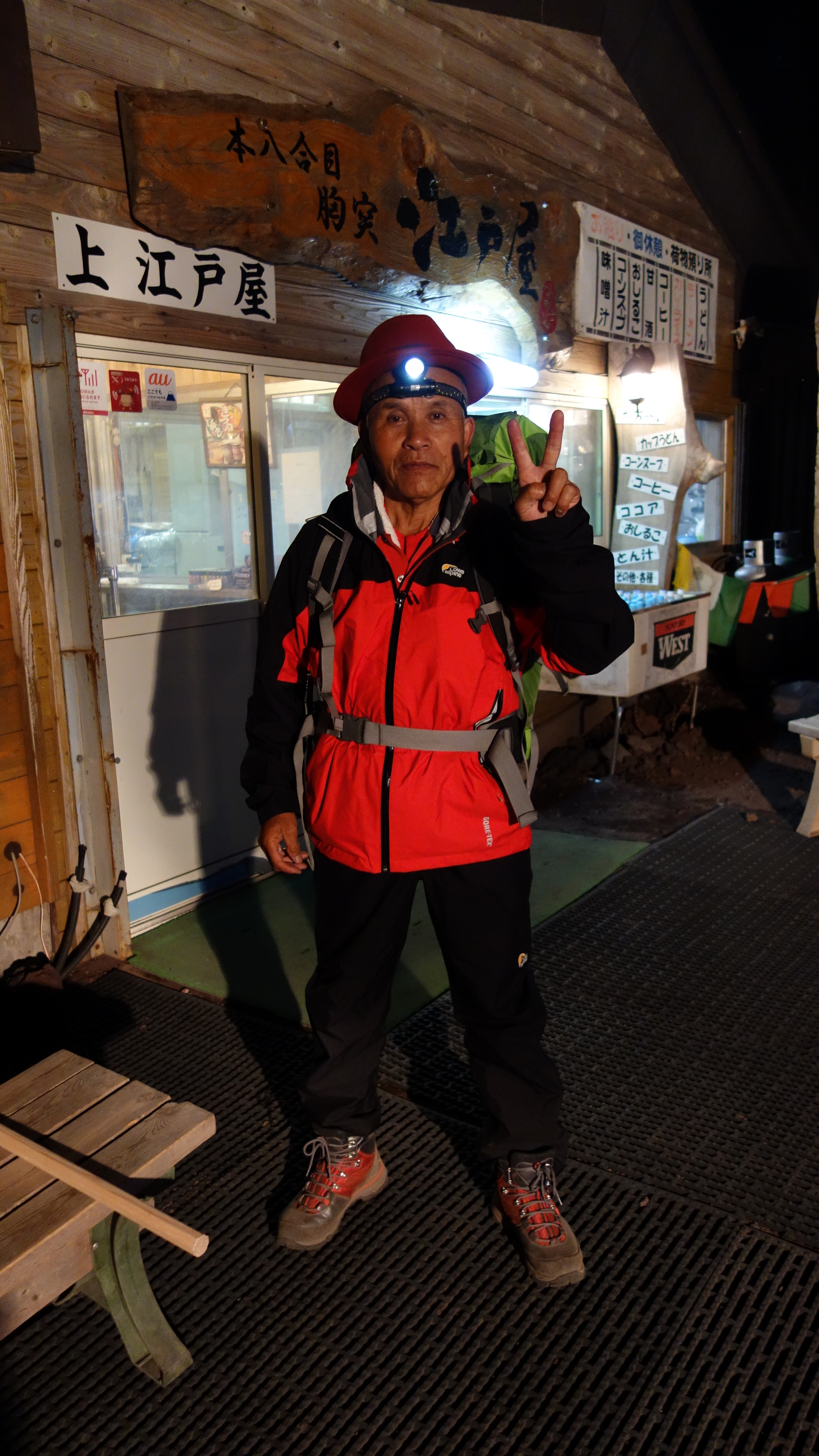
My mood improved vastly: now the peak was not far any more. It was to near actually: of course I could go up, and then immediately descend again without staying. But seeing the first light of the day is an event one wants to catch, and in my situation it became clear that there were many hours left until the morning. It had become very cold at the 8th station, and the summit was even colder. I talked with a few people, many stayed over night in the station, planning to climb up in time to see the first light of the day. Many of them were so excited they could not sleep. One climber was above 70, and wearing a red hat!
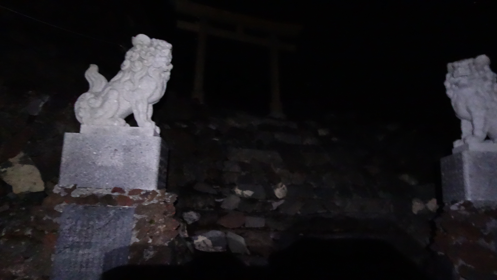
Eventually I just could not wait any more and climbed up the last part. Along the way, just before reaching the summit, the same figures which are seen at Japanese temples were setup, and Torii.
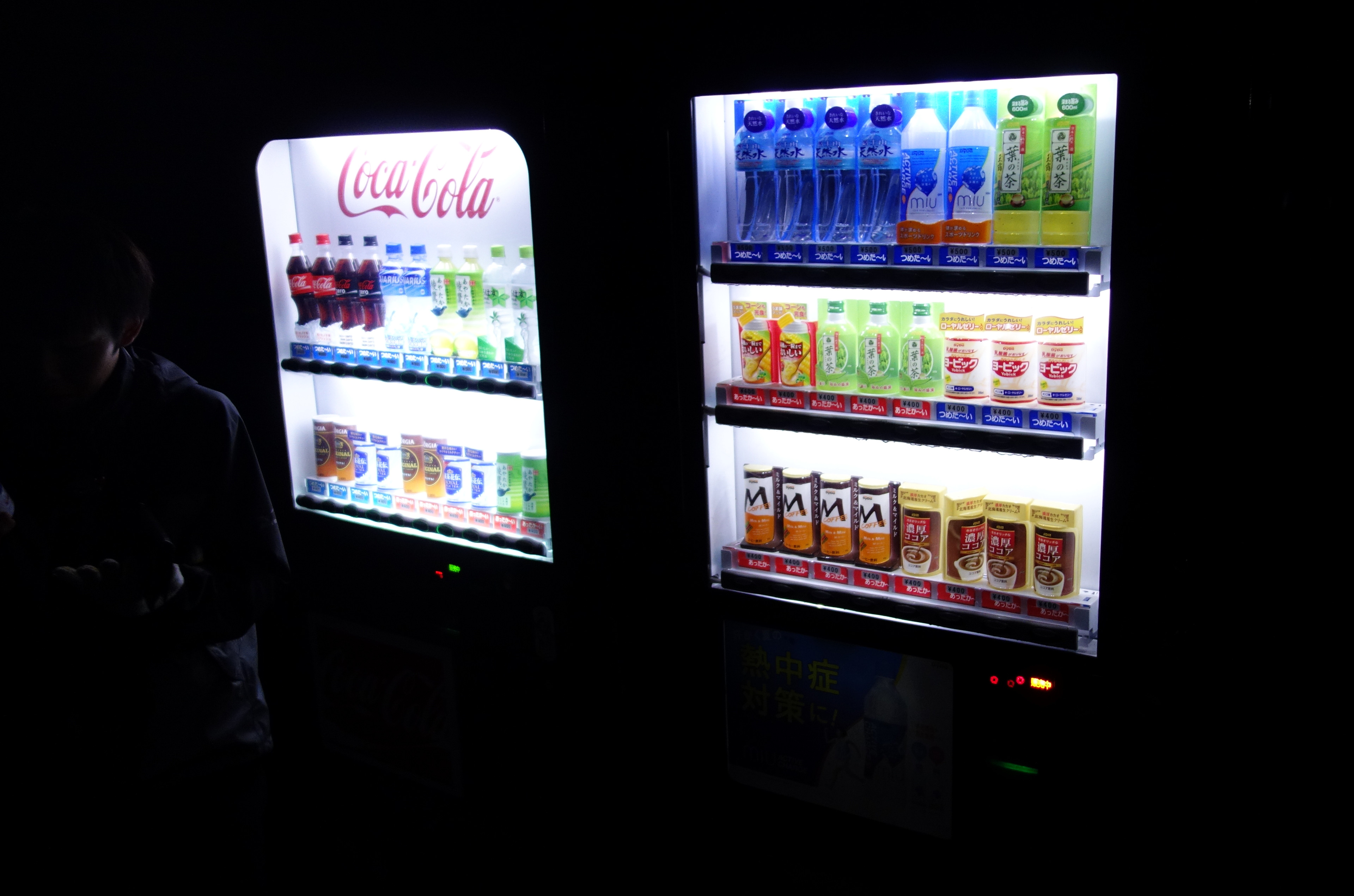
At the summit, already many people had gathered. Some in sleeping bags, it was very cold, especially when not moving around. To the rescue, there were vending machines with hot tea: 600ml for cold tea for 500円 (3.8€).
Will do a second article with the sunlight and descend. More pictures are here.
Last modified on 2020-10-31