The Golden Week
This years Golden Week approached, a sequence of national holidays in Japan. Like the last 2 years, a friend invited me to help with planting rice. I live in Tokyo, he lives in Tochigi-ken, north west of Tokyo. In the last years, I did day trips: 2h30min by train, then my friend fetched me by car and we drove another 30min.
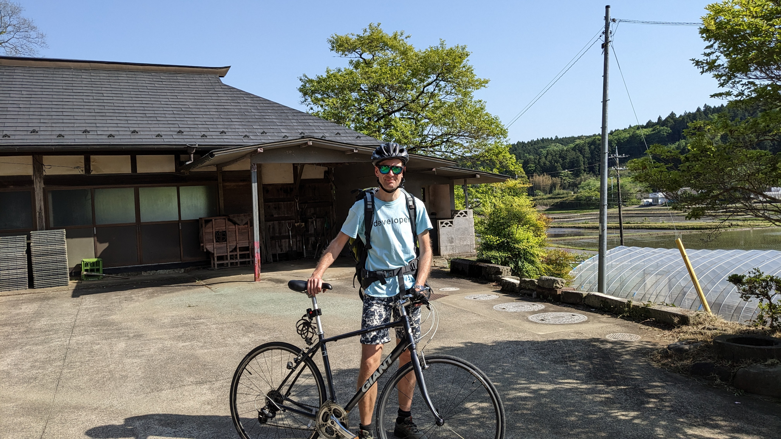
I have a roadbike which I typically use for up to 40km day trips. Google maps estimates 140km if walking over to my friends house, and it is not able to suggest a cycling route. Cycling these 140km in the morning before rice planting would not work out, but the day before rice planting was also a holiday, so: let’s go 122km to Utsunomiya on the first day, stay over night, and go another 30km in the morning before rice planting.
Route planning: energy
I use no bike computer with power efficient e-ink display, but a mobile
phone strapped to the bikes handlebar.
When I did my ‘Tokyo metro cycle project’, where I visited all metro stations,
I had already exceeded what a single charge of my Pixel 4a phone could do,
and had used a second phone. I could use a fully charged mobile for
2 or 3 hours, longer if mobile connection was disabled and if I could turn
off the screen for a longer time.
My mobiles at hand:
- Android Pixel 4a
- Androud Huawei
- iphone 13 (company)
The plan is to start with these 3 mobiles, and a Thinkpad with 57Wh battery, which can charge a phone when connected.
Route planning: software
My desired features:
- OpenSource
- running one software on the Android mobiles and the iphone
- designing a route on the Thinkpad running Linux, and then transferring it over to the mobiles. Same for ‘points of interest’.
- the phone app should support offline navigation
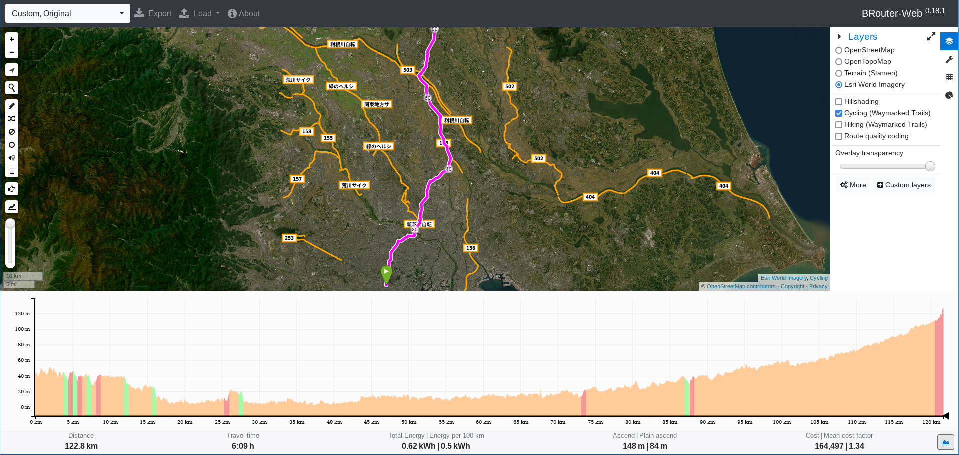
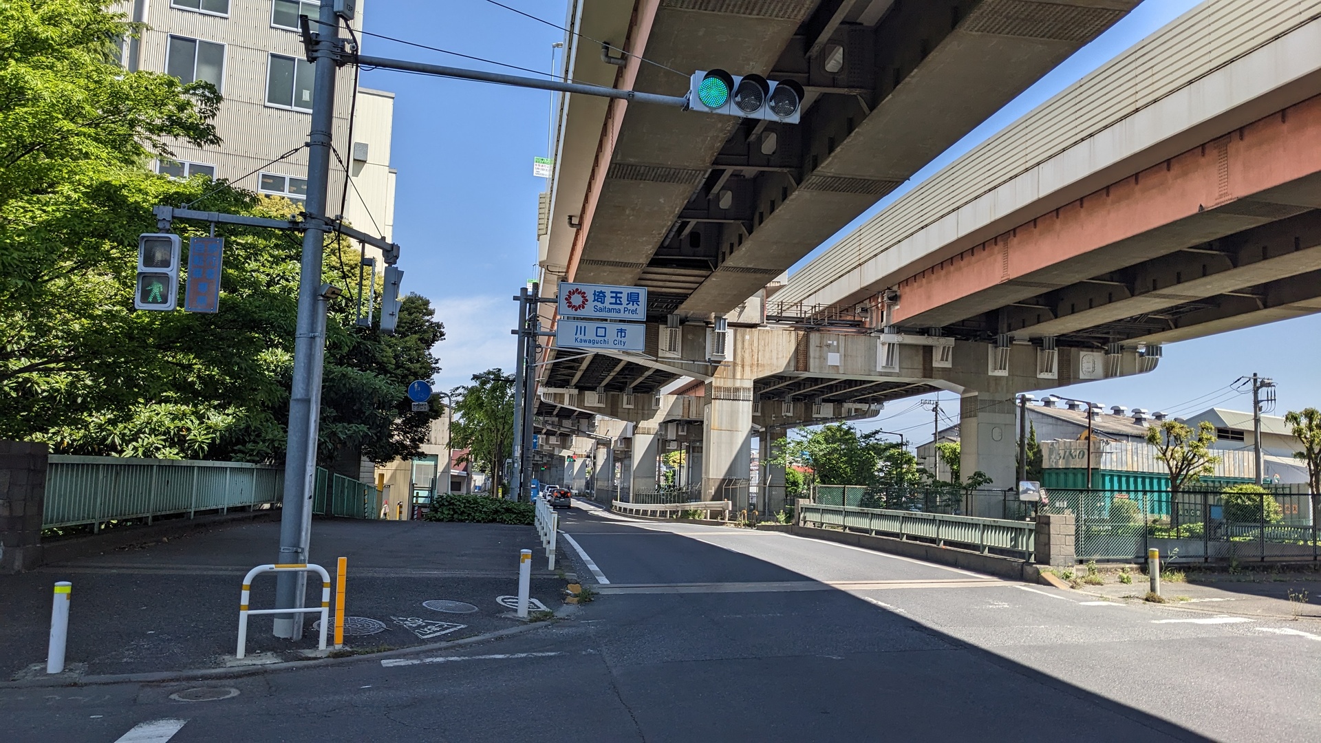
My first part of the route was from home in Tokyo/Shimokita to Utsunomiya, ~120km. Google maps is not even able to draw up a cycling route for that, besides that it’s not doing offline routing.
I ended up with planning the routes with the site
https://brouter.de/brouter-web, a free
page using OpenStreetmap material.
On https://openstreetmap.org, you can access
maps with pathes extra suited for cyclists - brouter.de is using these if
possible.
On the mobiles I use OsmAnd, on Android it’s in the Fdroid store. I use Syncthing for file sharing between Linux based devices, it basically provides directories which get synced up between the devices. With that, pictures taken on my Android phone get automatically synced to my Linux desktop. I made a new directory ’trip’, saved the route created with brouter.de as .gpx file, and could then import the route on OsmAnd on the Android phones: ‘plan a route’, ‘import track’. Then I can start the navigation, click the gear (settings), and ‘follow route’.
Sadly, that is not yet implemented on OsmAnd on the iphone.
Next: points of interest. On my Pixel 4a mobile I stored markers (‘favorites’) for the important places of the route: home, hotel in Utsunomiya, my friends place, one hotel where I will stay when going back. These markers can be exported into a .gpx file, and imported on OsmAnd running on the other phones. The marker import works also on the iphone.
Summing up, this was the procedure:
- Open brouter.de/brouter-web, set start and endpoint, have it plan a route. Compare with the route other tools would plan, adjust it to prevent steep elevations.
- Export the route to .gpx file, copy the file to the other phone(s)
- Import the .gpx on OsmAnd on the other phones, then navigation can be opened, and below ‘settings’ one can choose ‘Follow track’, where the imported track appears
- On OsmAnd on one of the phones, store all relevant locations for the trip as ‘Favorites’, then export these as .gpx file and import them on the other phones.
- Store notes on Obsidian on Linux, use a location which gets synced to the phones and can be opened from Obsidian on the phones
- On the phones, zoom into the locations you will travel to, so you get offered to download the maps of the local areas
How to get files to the iphone? I did send mails with attachment to a mail account, which I did access from the iphone.
An other good candidate is bikemap.net. Also pridewithgps looks good, but the more useful functions cost money.
Convenient syncing of ‘points of interest’ between the browser on Linux and on the mobiles stays unsolved.
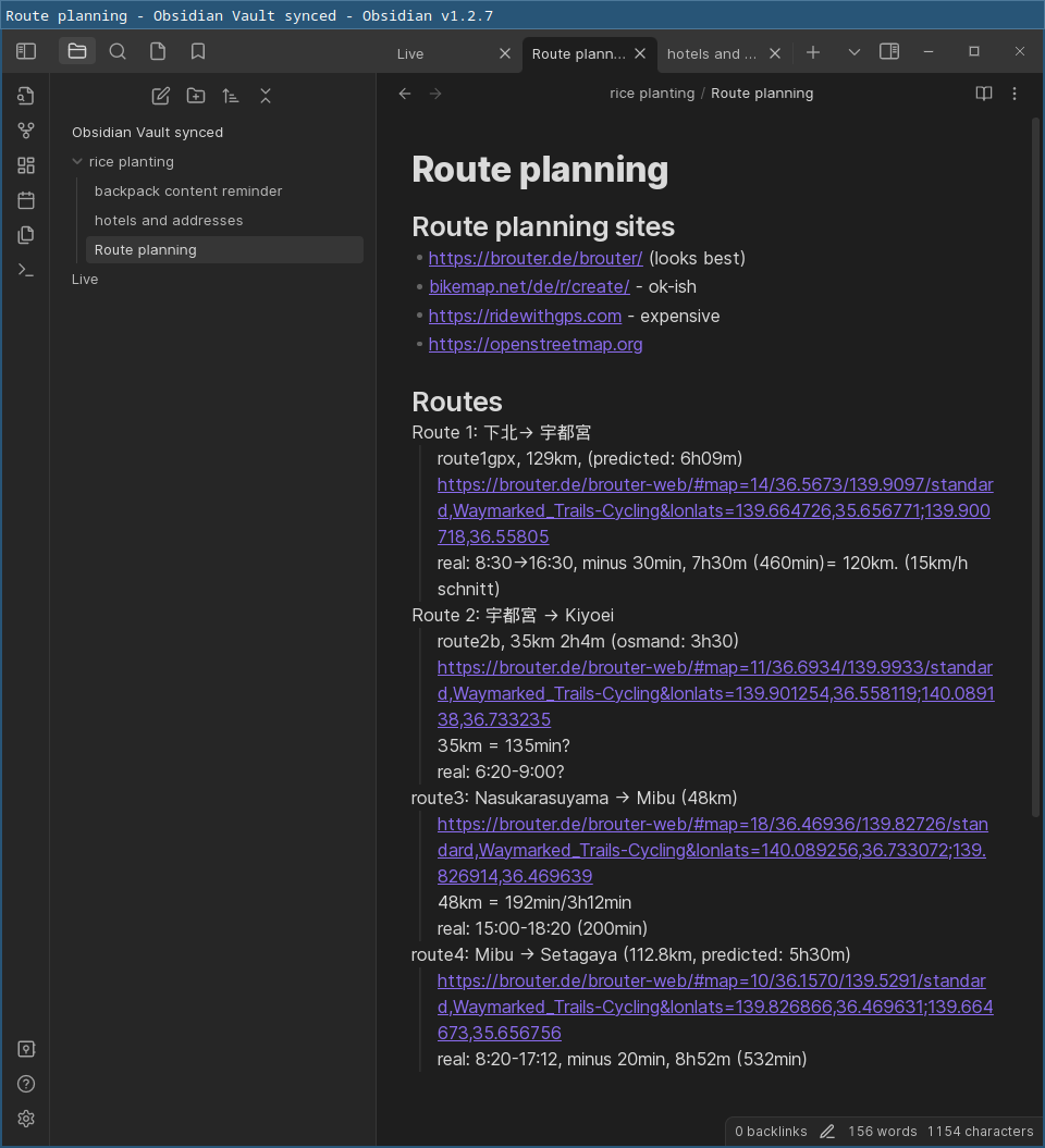
Syncing of notes: preparing the trip, I started to use Obsidian. On Linux and on Android I use the Obsidian software, which is basically a fancy editor to create markup files. I use syncthing to sync the markup files between all devices, so with that I can modify my trip notes on Linux and later access that on the Android phone - convenient!
Starting the Trip
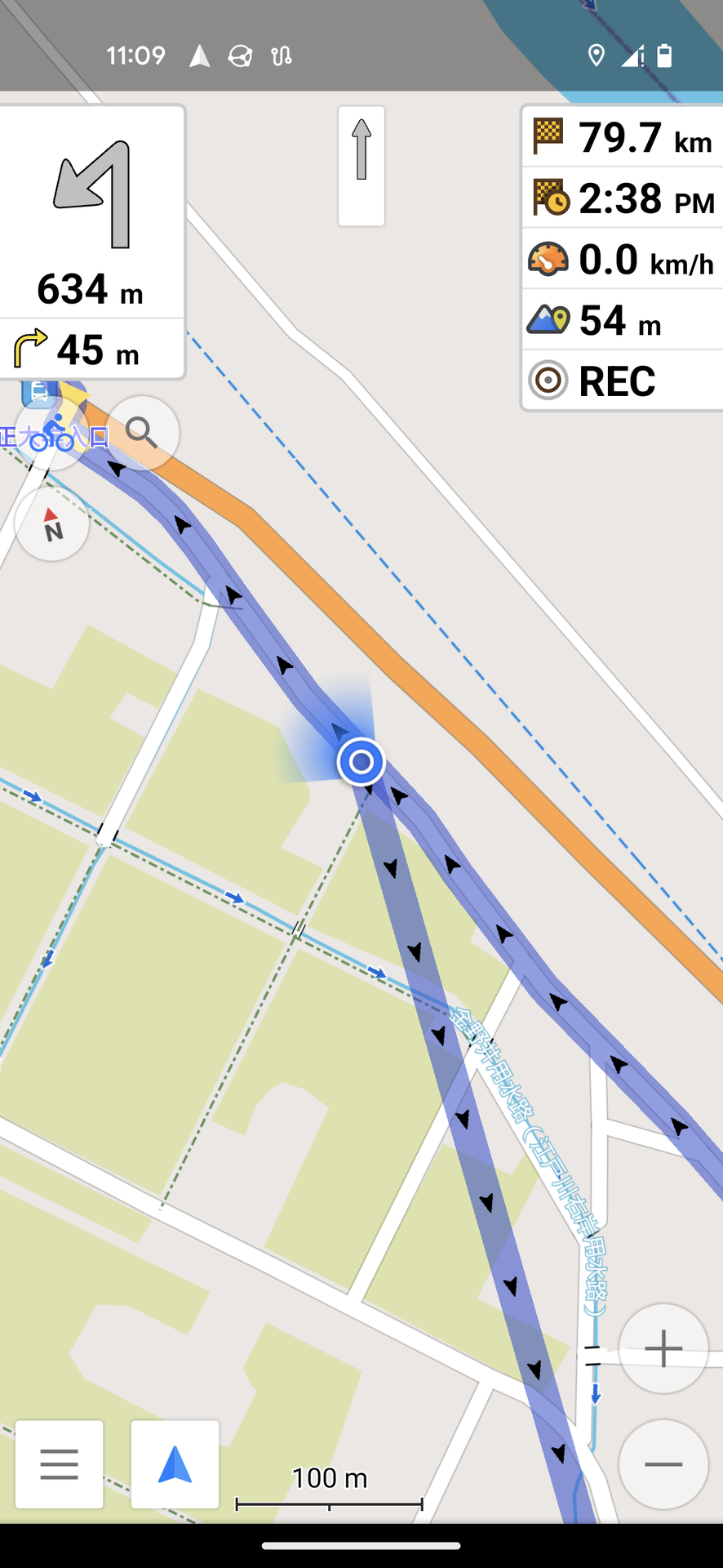
My tour for the first day was planned with 122km, the detailed route
is here.
The trip got exported to .gpx, then imported on OsmAnd and then
’navitation along the route’ started. The trip took 7h30min,
plus 30min for lunch break. I started with the Pixel 4, when used
up I switched to the Huawei - and that run out of power just as I
arrived at the hotel in Utsunomiya, the goal for the day.
OsmAnd tells you for how long you will follow the current road
without changing roads, I often deactivated the screen then and
just activated it 10min later. Both mobiles allow fingerprint
authentication, so just putting the finger at the backside of the
mobile unlocked the screen.
Recharging the Pixel 4 with the Thinkpad worked nicely, so in the
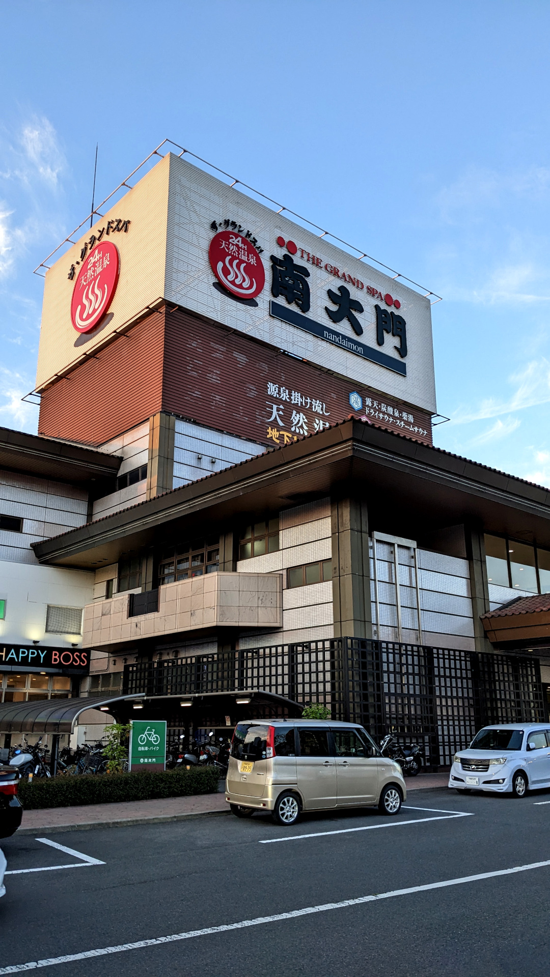
evening I was using it when cycling through Utsunomiya and taking
pictures.
In the 3 days of heavy usage, I had only one crash of OsmAnd - that’s reasonably stable to me. One oddity: the tracks I had transferred from brouter.de were basically a long line of coordinated. On the road, when I happened to miss one of these then occasionally OsmAnd hinted me to turn around to ‘catch’ also that missed point. In these cases, stopping navigating and starting it freshly fixed the issue. This happened ~5 times in the 3 day trip.
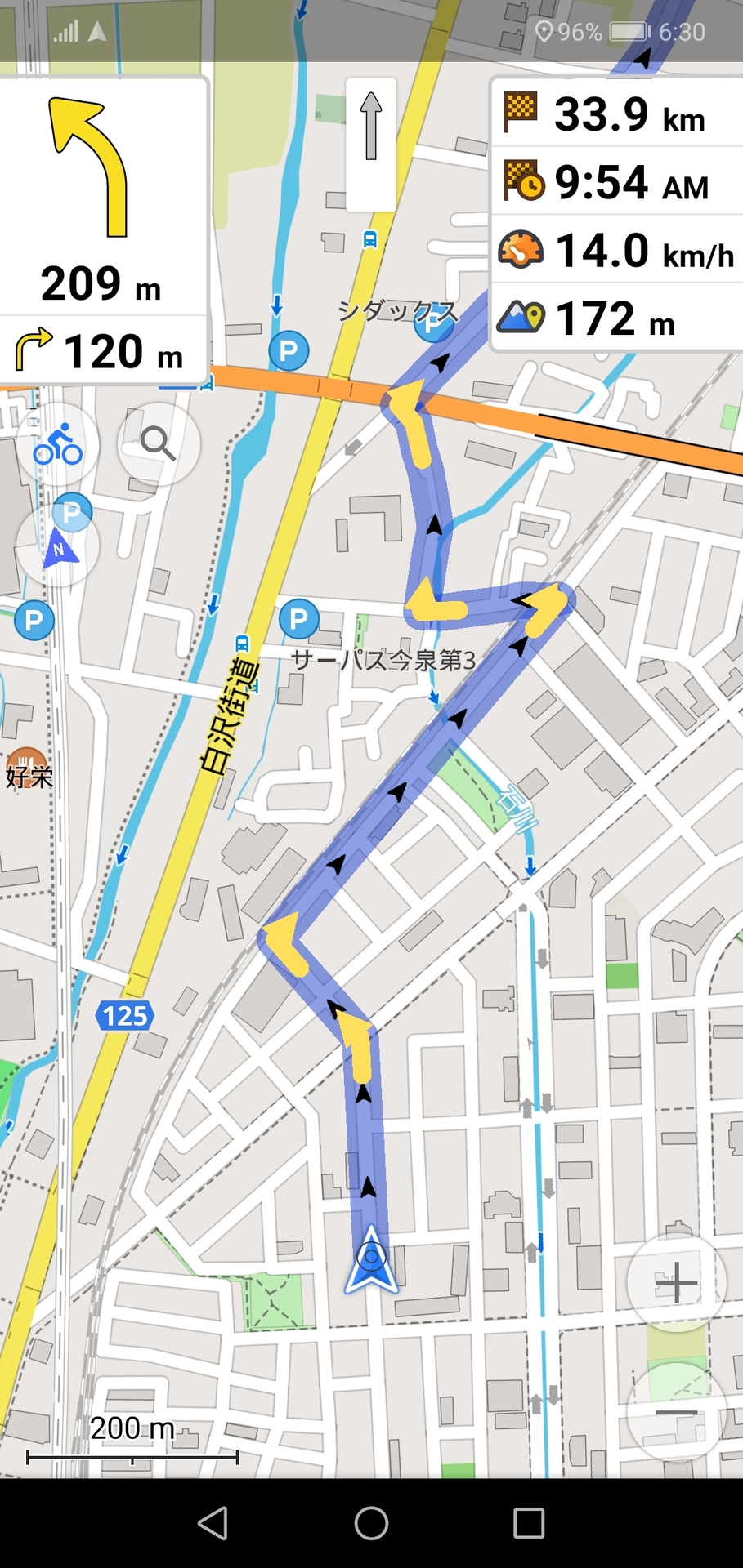
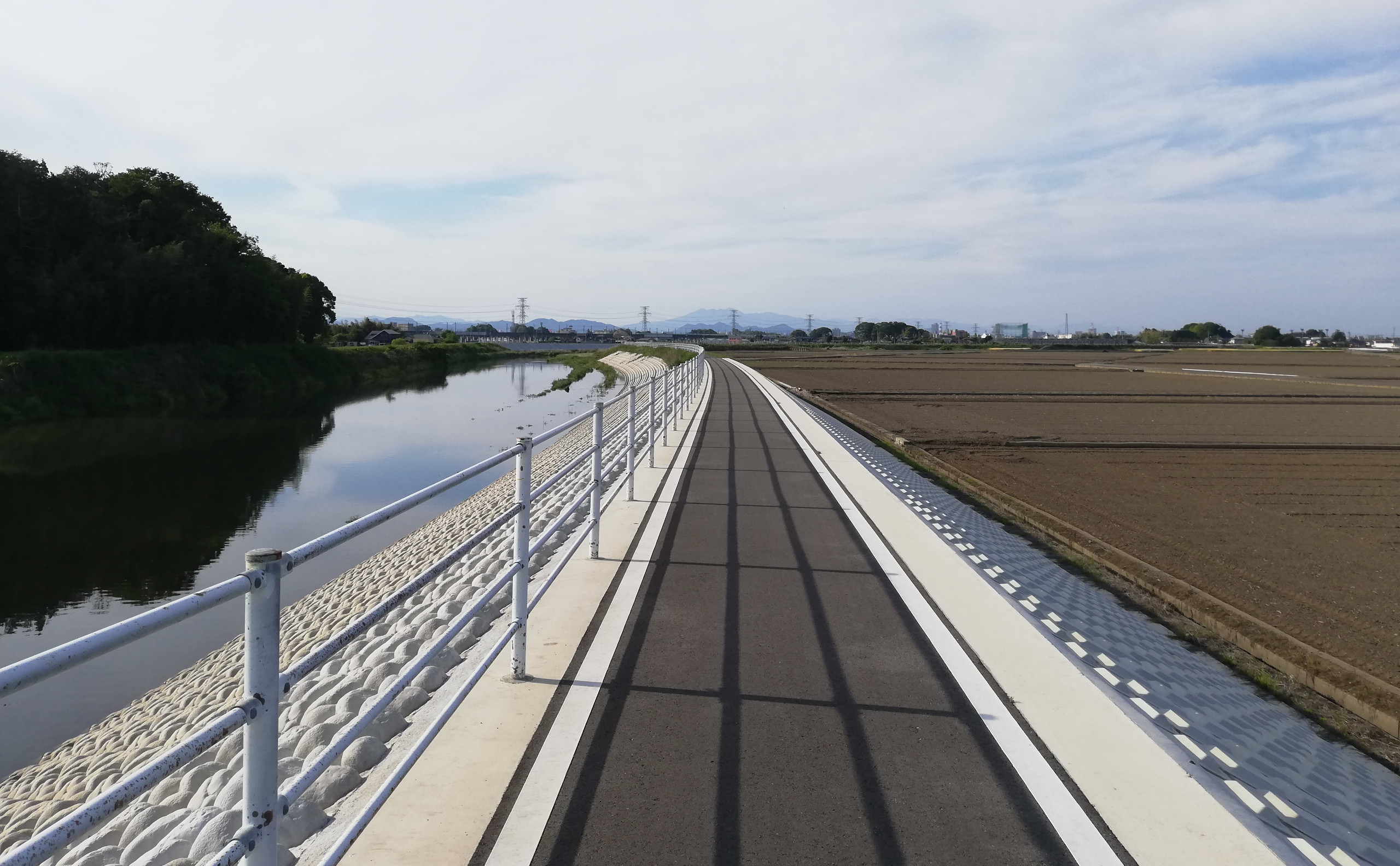
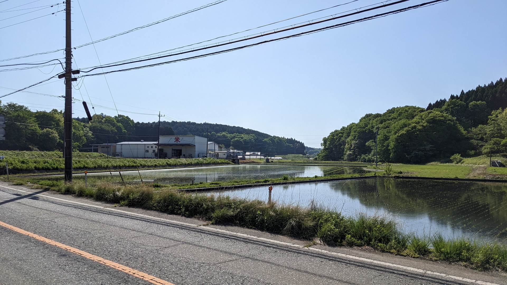
On the second day, I started at 6:20, a 35km trip to my friends place. In general, I could see that the planned route tried to stay away from big/heavy used roads. On the last part here, I was routed into the woods, so steep that I had to walk instead of cycling. After investigation of the map, I took a different streed - the website had evaluated “stay away from big roads, even if it’s much steeper” differently than I did. For future planning, I will pay more attention to this - once recognized, it’s easy to modify the route on brouter.de and then export the modified route.
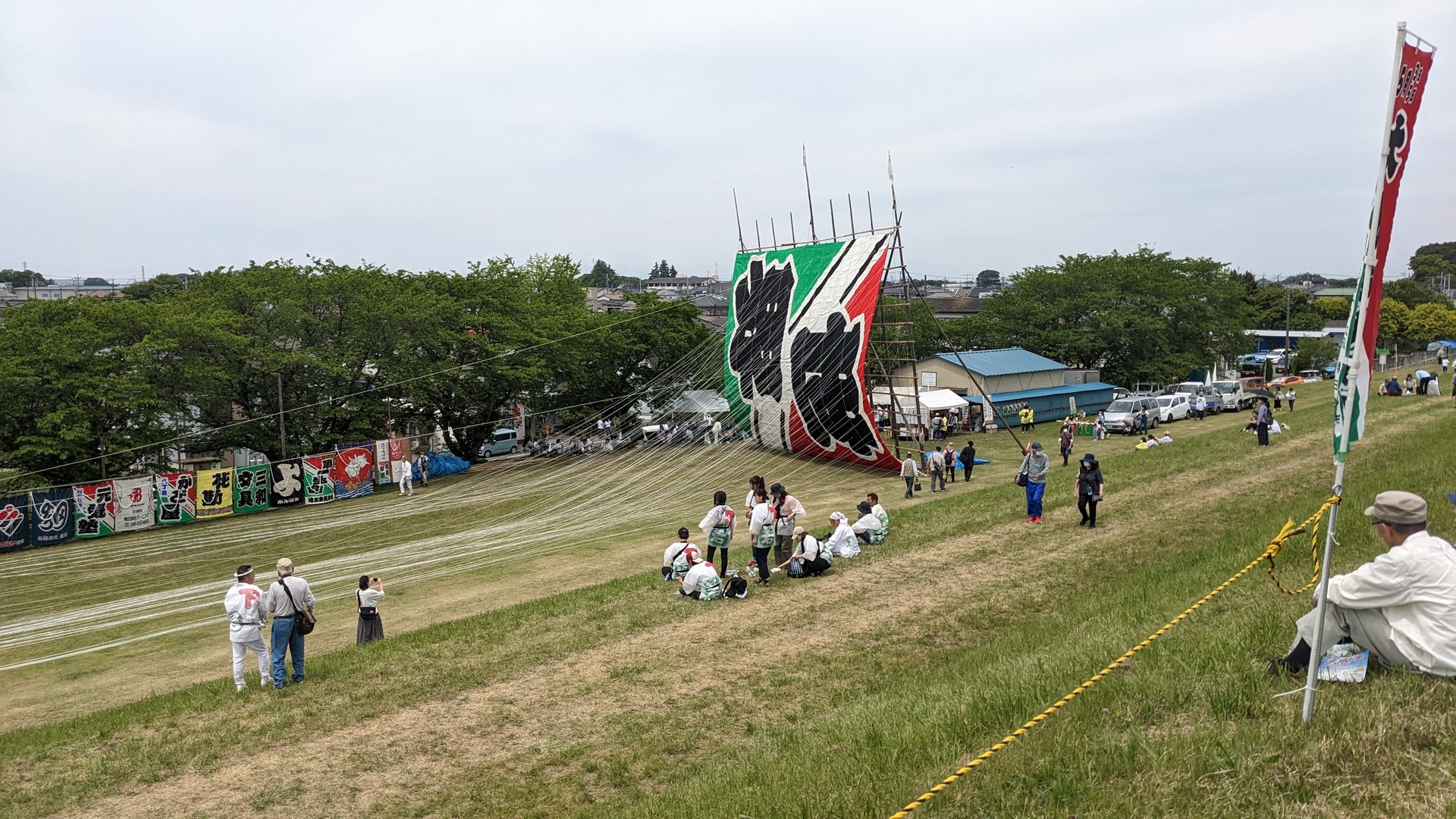
Rice planting
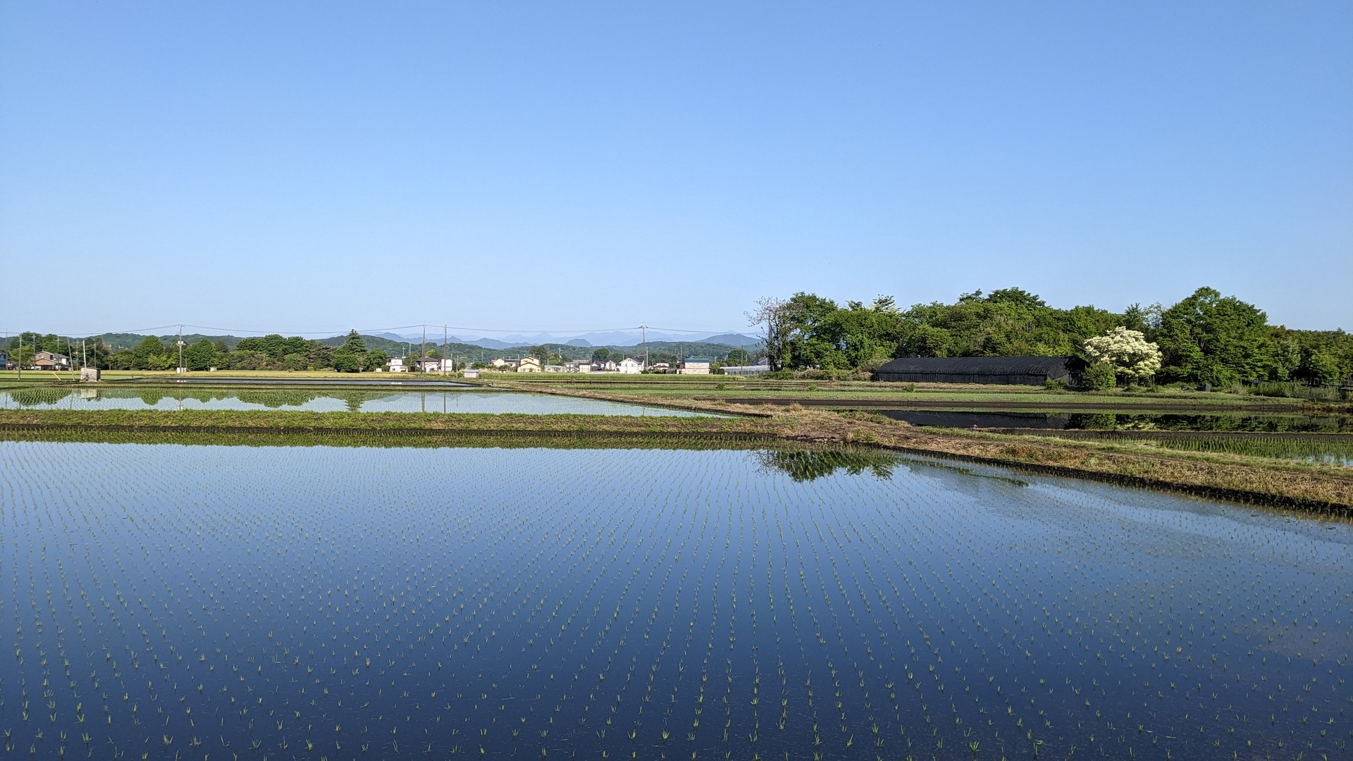
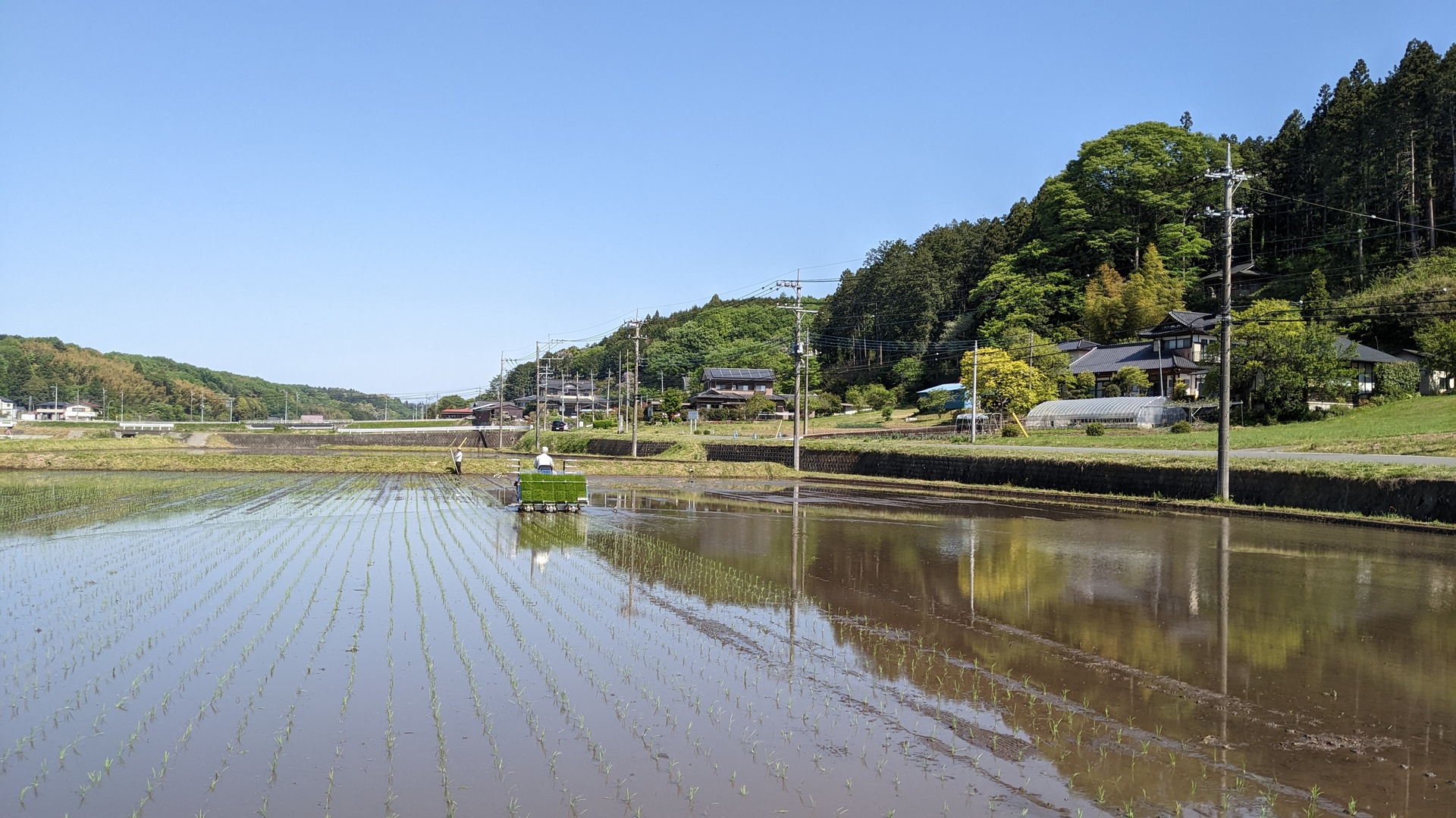
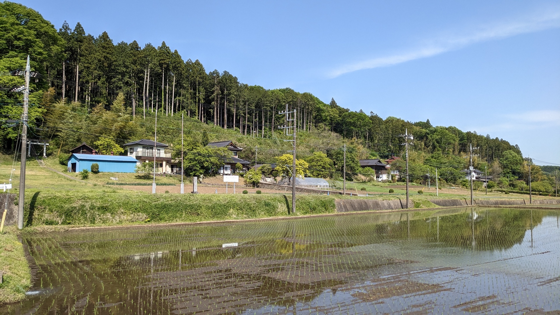
I arrived around 9:30. My friends house is located really nicely: these is a big valley, in the middle there are rice paddys. To the left and to the right, there are roads and farm houses, and the farmers live there.
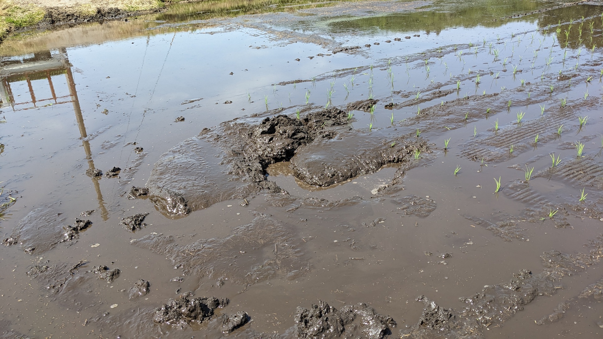
The actual rice planting is now mostly done by machines. Weeks before the planting, young rice plants are grown in green houses, with the goal of the plants having just the right size at the time of planting. The containers where they are grown have the right size to be loaded into the rice planter machine. The rice planter is quite impressive: it has 4 wheels, just of right size to not sink into the paddy. The paddy is water flooded for planting, the planter then drives over the field, and tiny mechanic arms take young plants and put them into the soil. The rice planter machines came up some dozens of years, before that the planting took much longer. Also now, the machine is leaving deep trenches in the soil, I helped with flattening these trenches out.

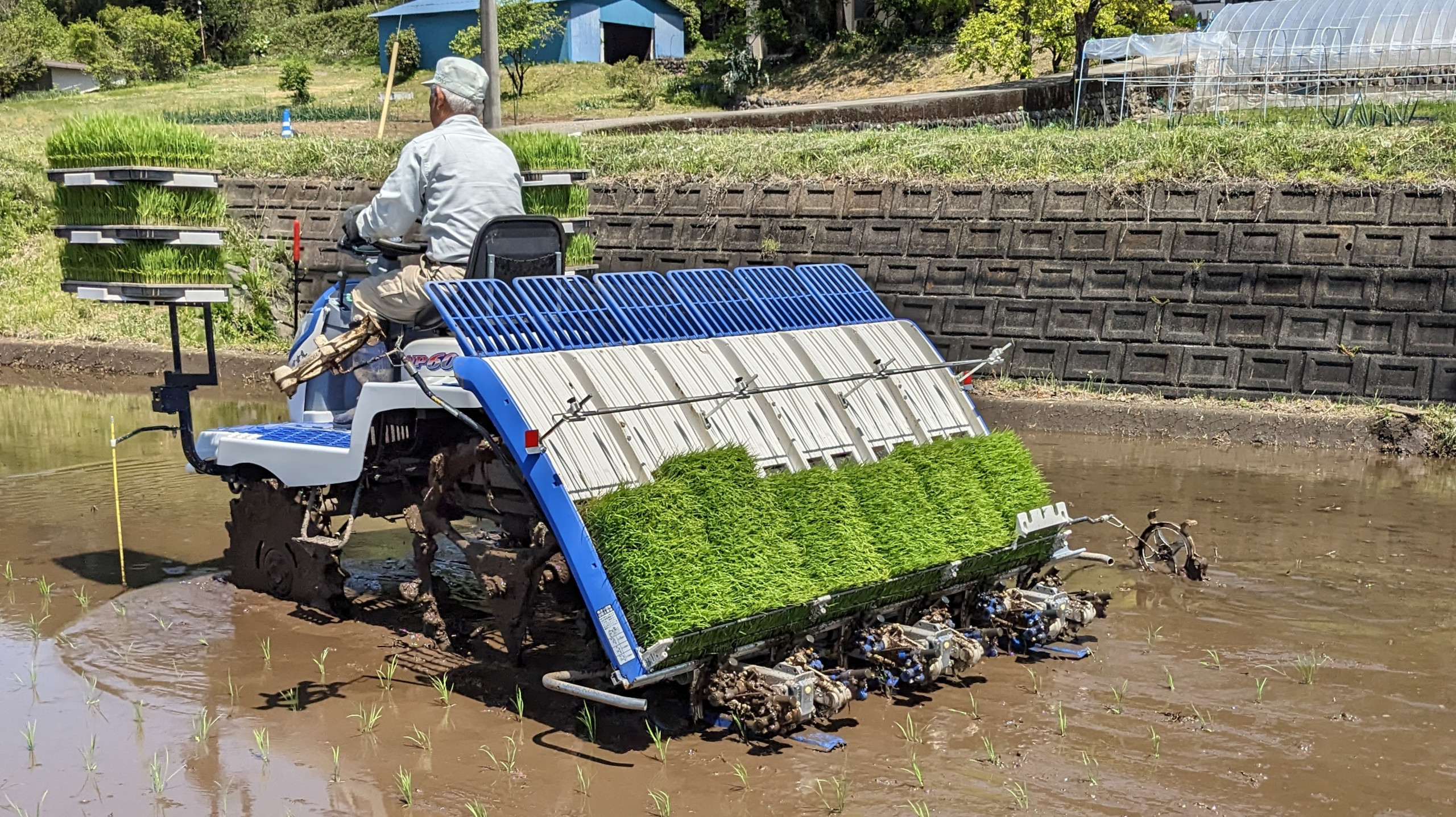
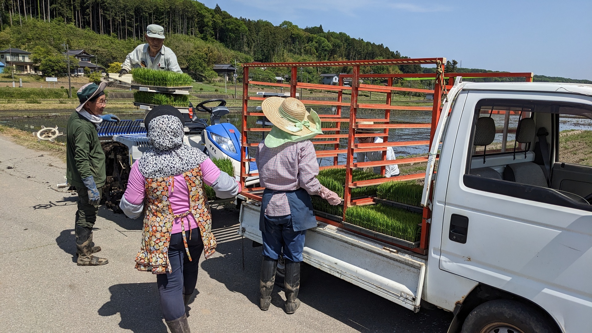
We all used big boots. My feet are bigger than average Japanese feet, so I had brought in my own boots. In the old times, people had done this without boots - but then you could catch bloodsuckers.
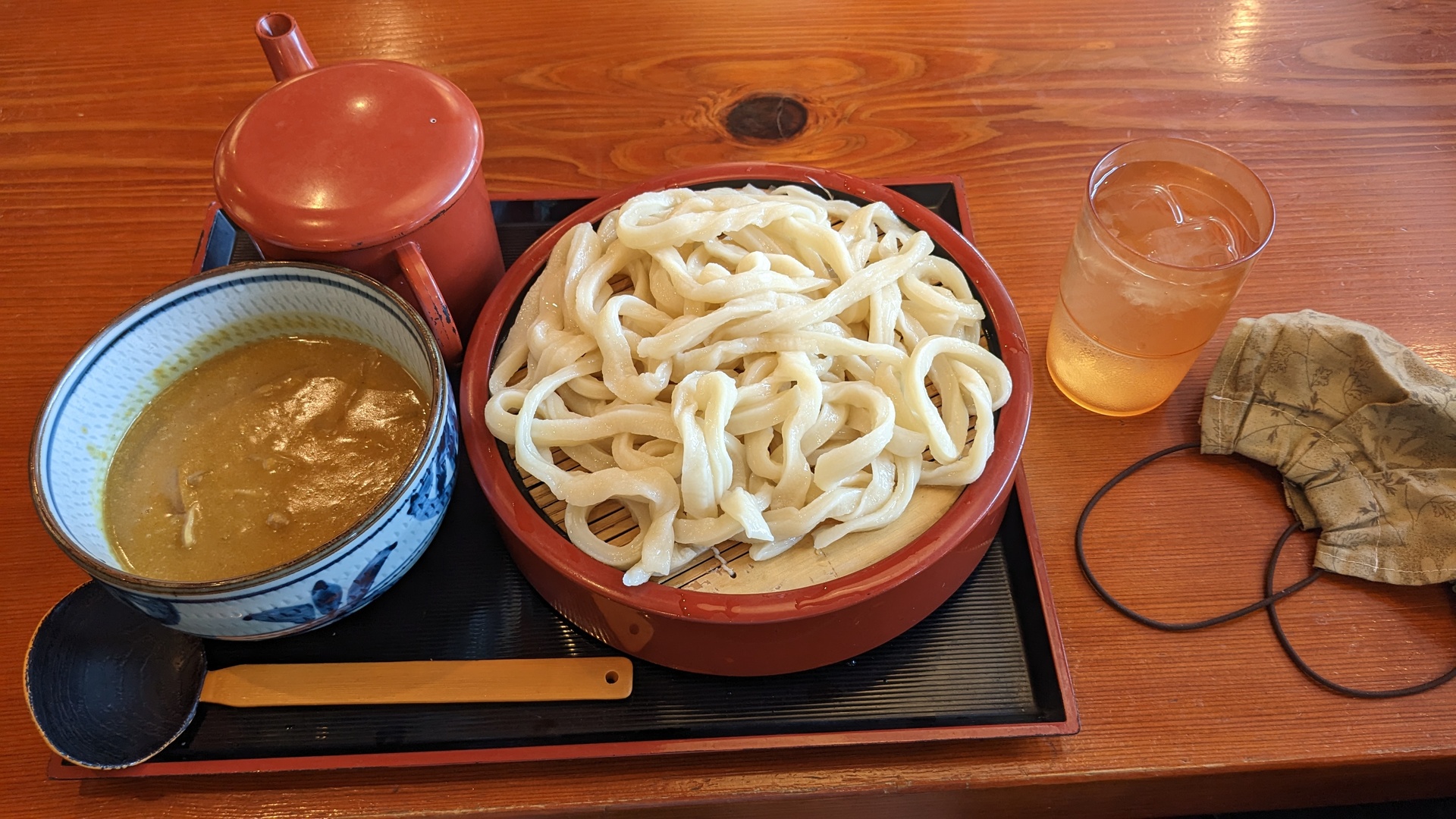
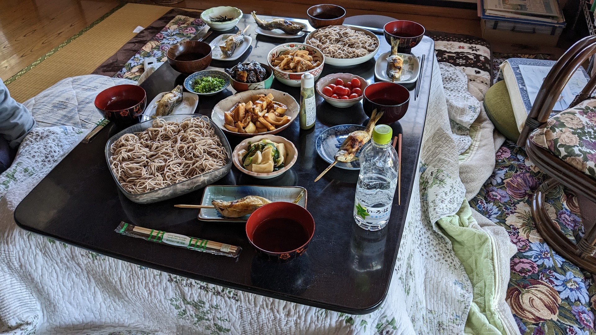
We had one break in the morning, then one hour lunch break, with a great lunch. As asual, I did not manage to properly eat the fish.
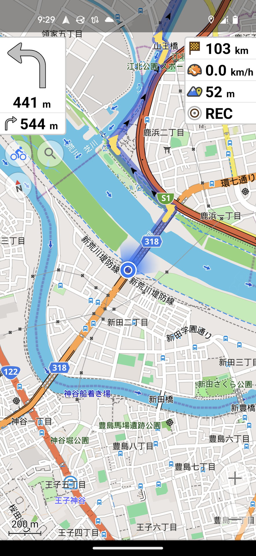
At 3pm we were done with all 4 rice paddys. I started route 3 with 48km, and arrived at the hotel in Mibu at 18:20.
Back to Tokyo
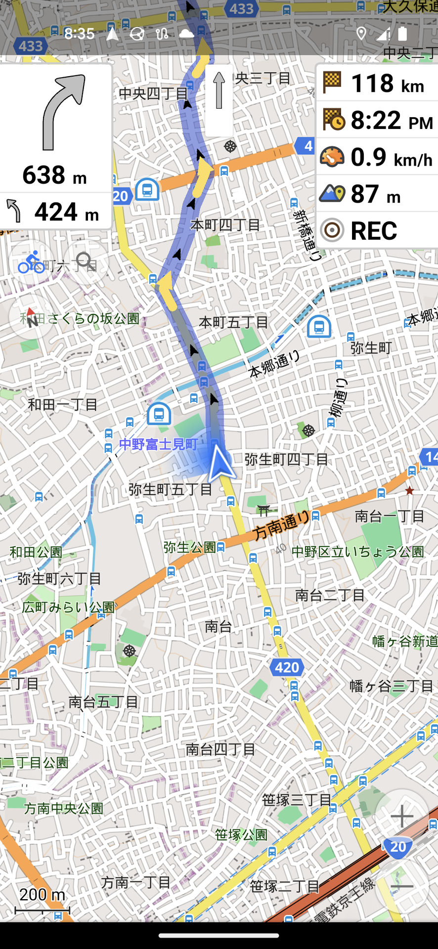
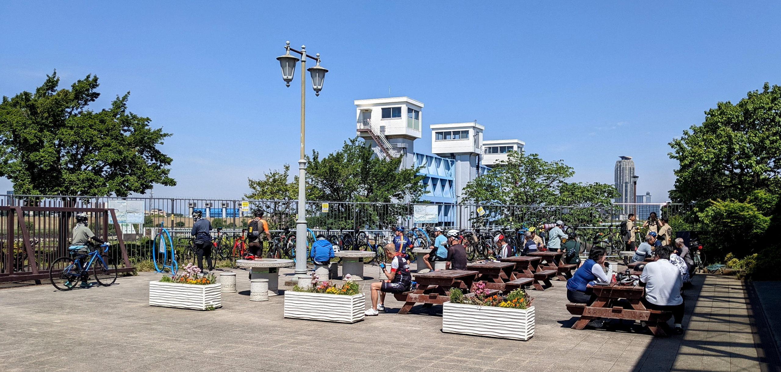
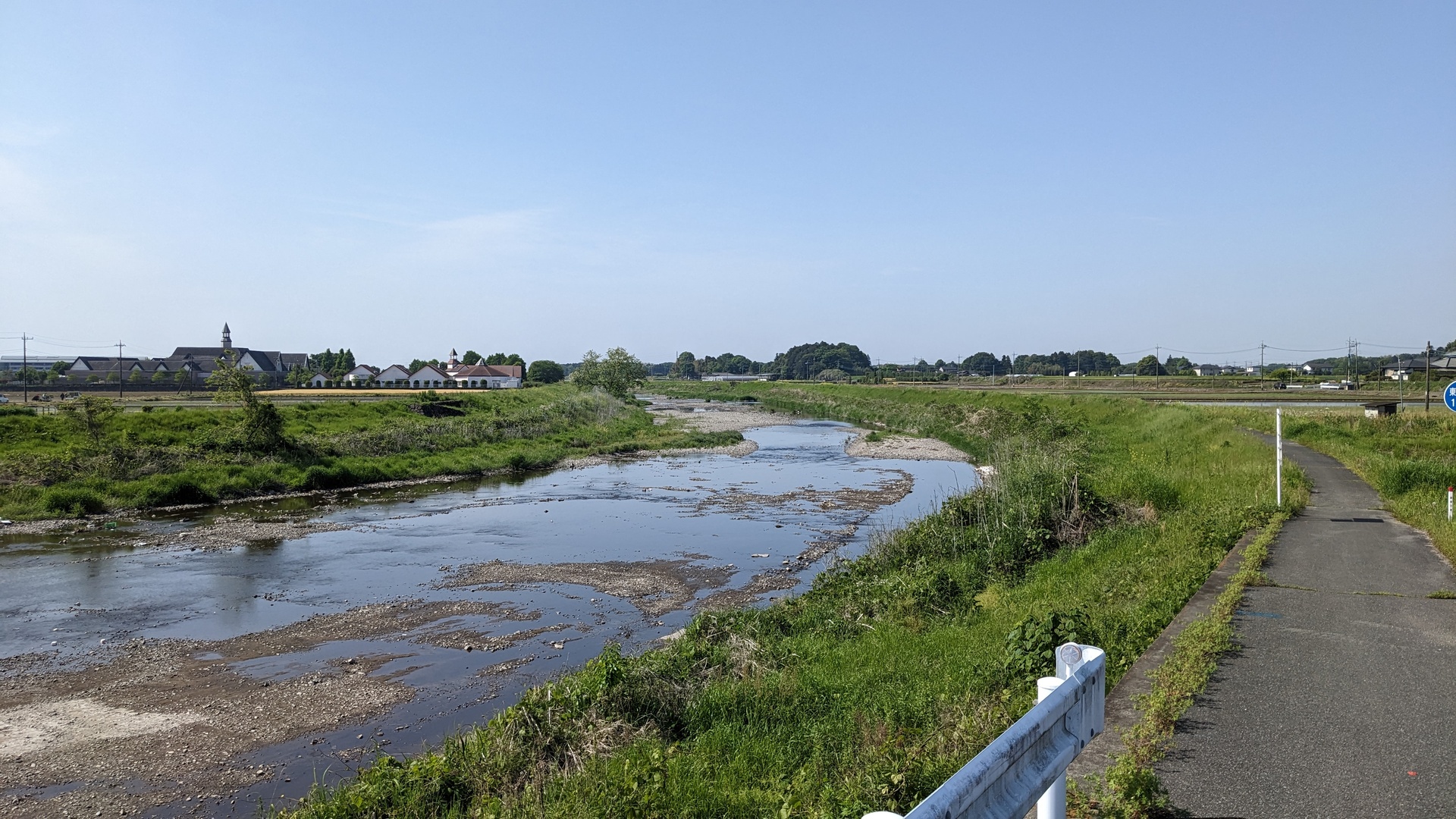
My last route was 113km. This was not as long as my route on the first day, but this time I had wind blowing into my face, so this took longer.
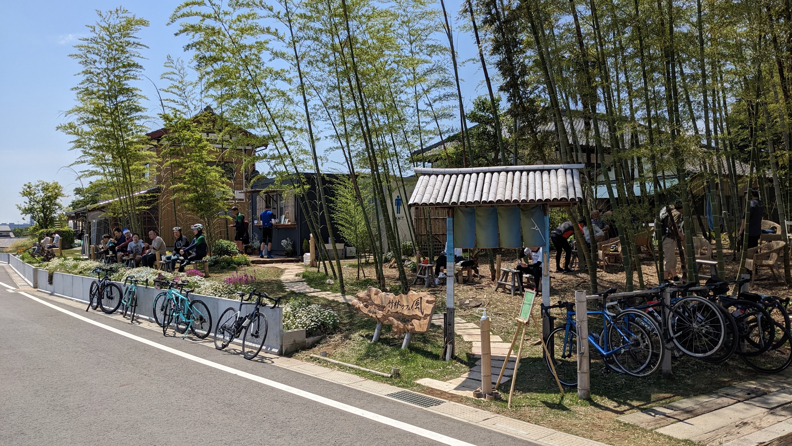
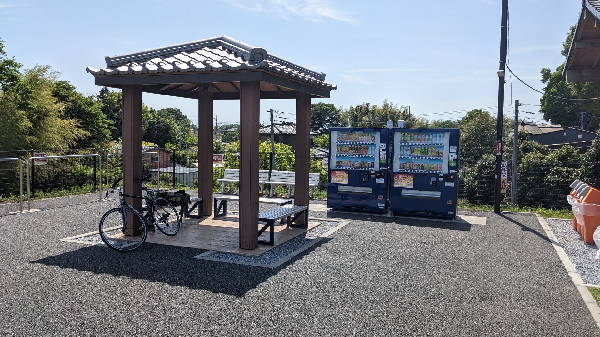
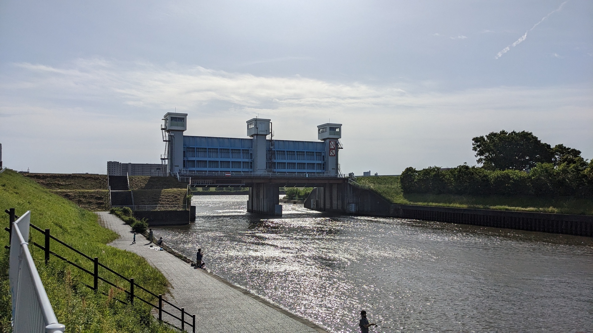
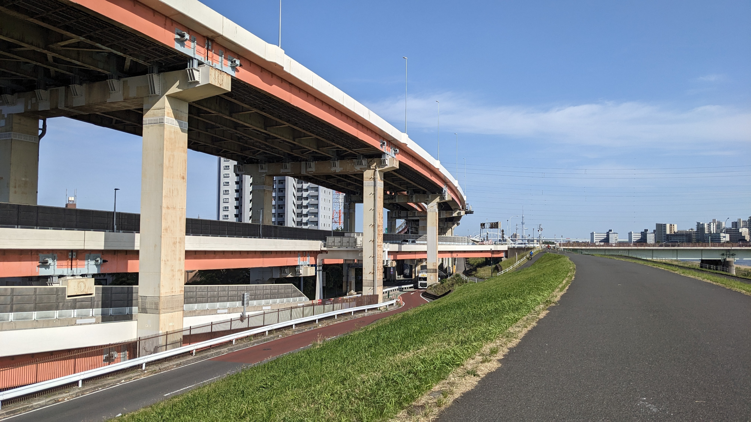
The planned route guided me along some rivers, that was one. The biggest piece was following ~15km along a river. I also found 2 biker rests, kind of restaurant located near to roads heavily used by bikers, very nice to see.
One thing to change for future trips: besides my belt bag, I was carrying boots, Thinkpad, clothes and so on in my backpack, summing up to 10kg and pulling down the shoulders for many hours. Side backs to be mounted to the bike would be a relief here.. but I would almost never need them. Maybe some stores lend these?
This was a nice challenge, happy to have done it - considering to do this again.
Last modified on 2023-05-01