How it started
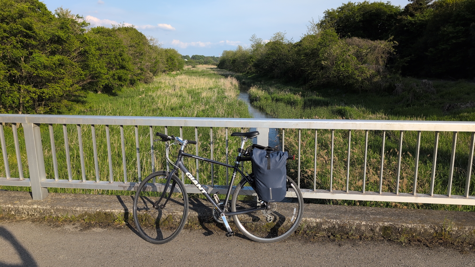
A friend owns rice paddies in Tochigi-ken, the district north of Tokyo where I live. Around the beginning of May, the rice planting is done. Since some years I attend the rice planting: initially going by train, and now for the third year by bike.
I can not go by bike right at the day of planting, it’s just to far. So I go to Utsunomiya, stay over night, and then at the day of planting go another 30km. My friend can just pin down the day of the event one week in advance, as weather should be good and a neighbor with special equipment needs to have time. As soon as I heard about May 3rd (a Saturday) would be this years rice planting, I started to lookup hotels.
Rice planting always happens around the ‘Golden week’, a sequence of national holidays in Japan - when all Japan is out for trips, to hotel rooms are scarse. I looked at my calendar, saw that May 2nd is a work day, and assumed May 1st to be one of the holidays. I got a hotel room from Thursday to Saturday, just to find out later that the assumed holiday for Thursday applies to Germany and not Japan.. so I took off the Thursday and planned for Friday to work from the hotel. Friday turned out to be a rain day anyway.
Planning
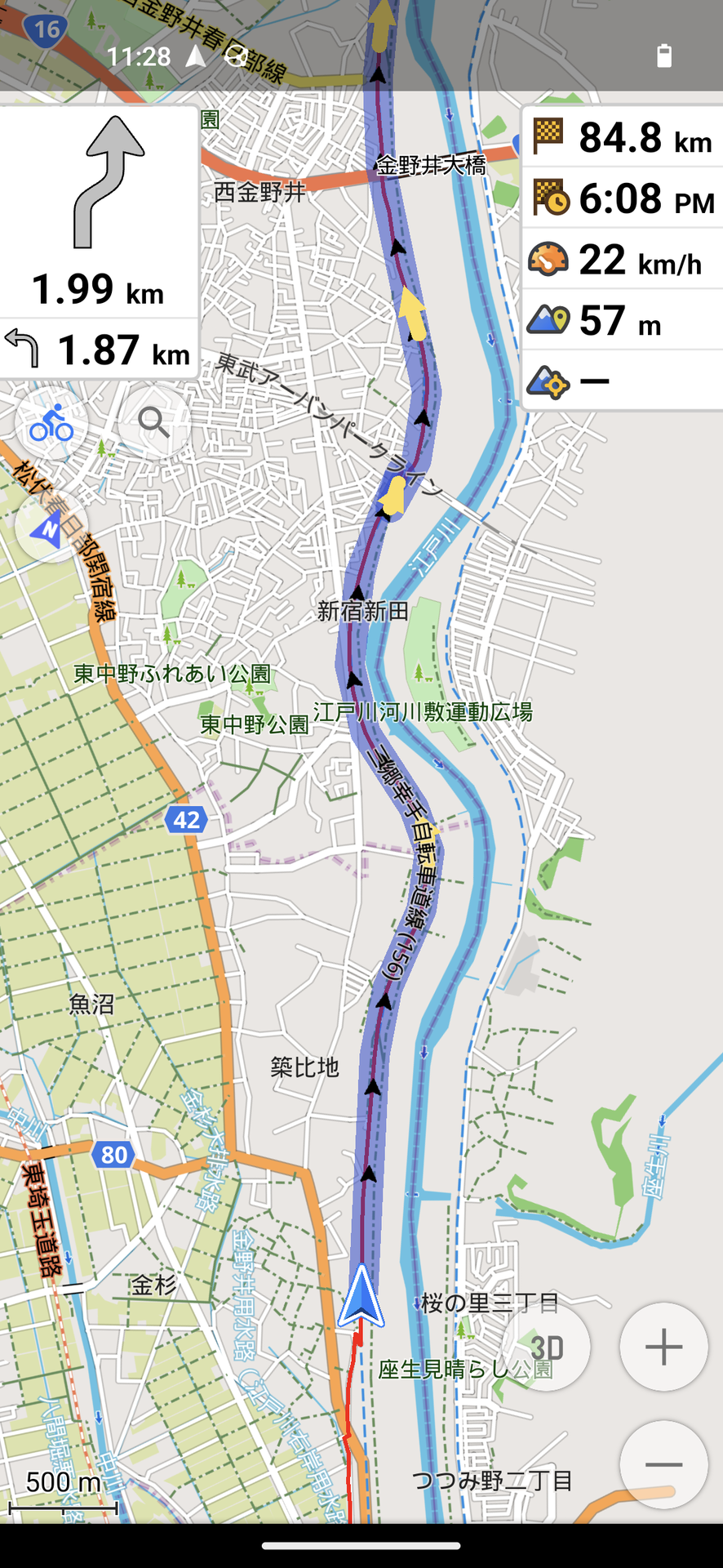
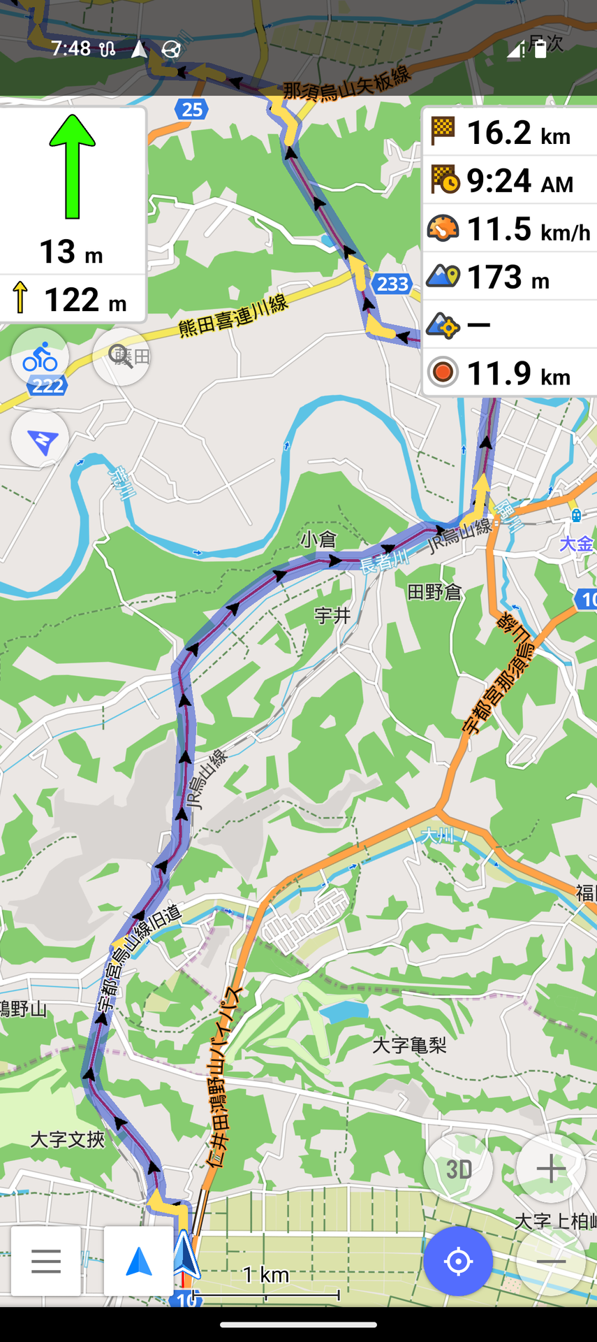
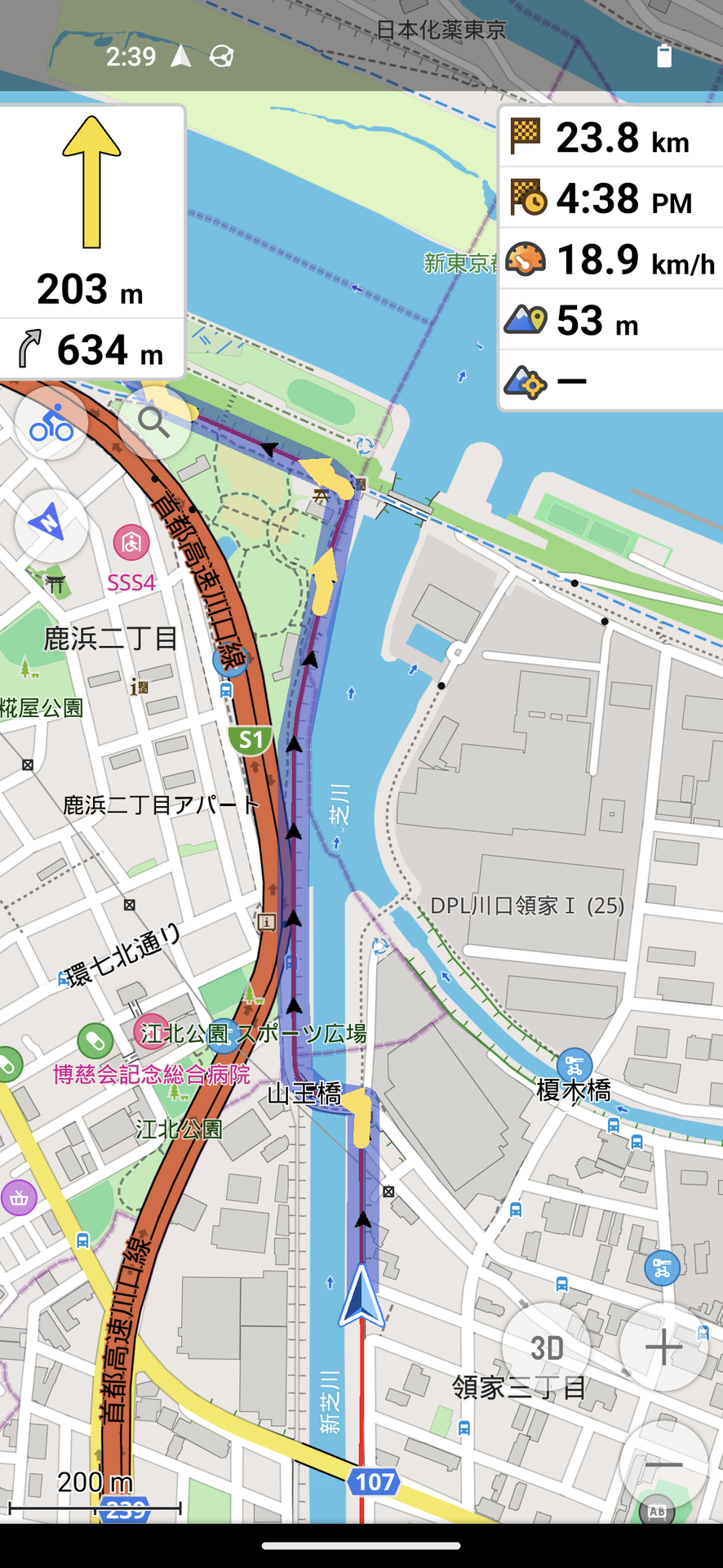
As usual, I planned the trip with brouter.de. This is a nicely done website using data from Openstreetmap and other sources. You assign a start point, an end point, and the site plans a trip to be done by bike which tries to avoid big roads, can try to use trails along rivers and so on.
brouter allows many options. Last year, the ’trip time’ of my first day (120km) was far off, assumed trip time was way to low. This time I looked up my daily commute to the office, 9.5km, and adjusted the options until the trip time matched up with reality: in setting bikerpower=50 . With this setting, I computed the single trips and exported them as gpx files:
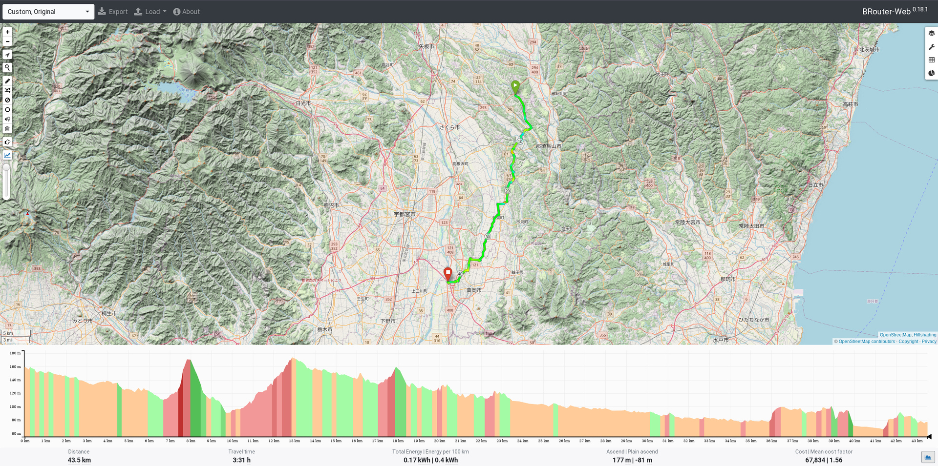
- Setayaga Tokyo -> Utsunomiya hotel, 131km / 10h trip time, broute link
- Utsunomiya hotel -> friends place, 31km / 3h
- friends place -> 2nd hotel, 44km / 3.5h
- 2nd hotel -> Setagaya Tokyo, 117km / 9h
Looking up addresses in brouter is not very easy, I looked them up on google maps and then used geographical features (rivers, streets) to find the same place on brouter.
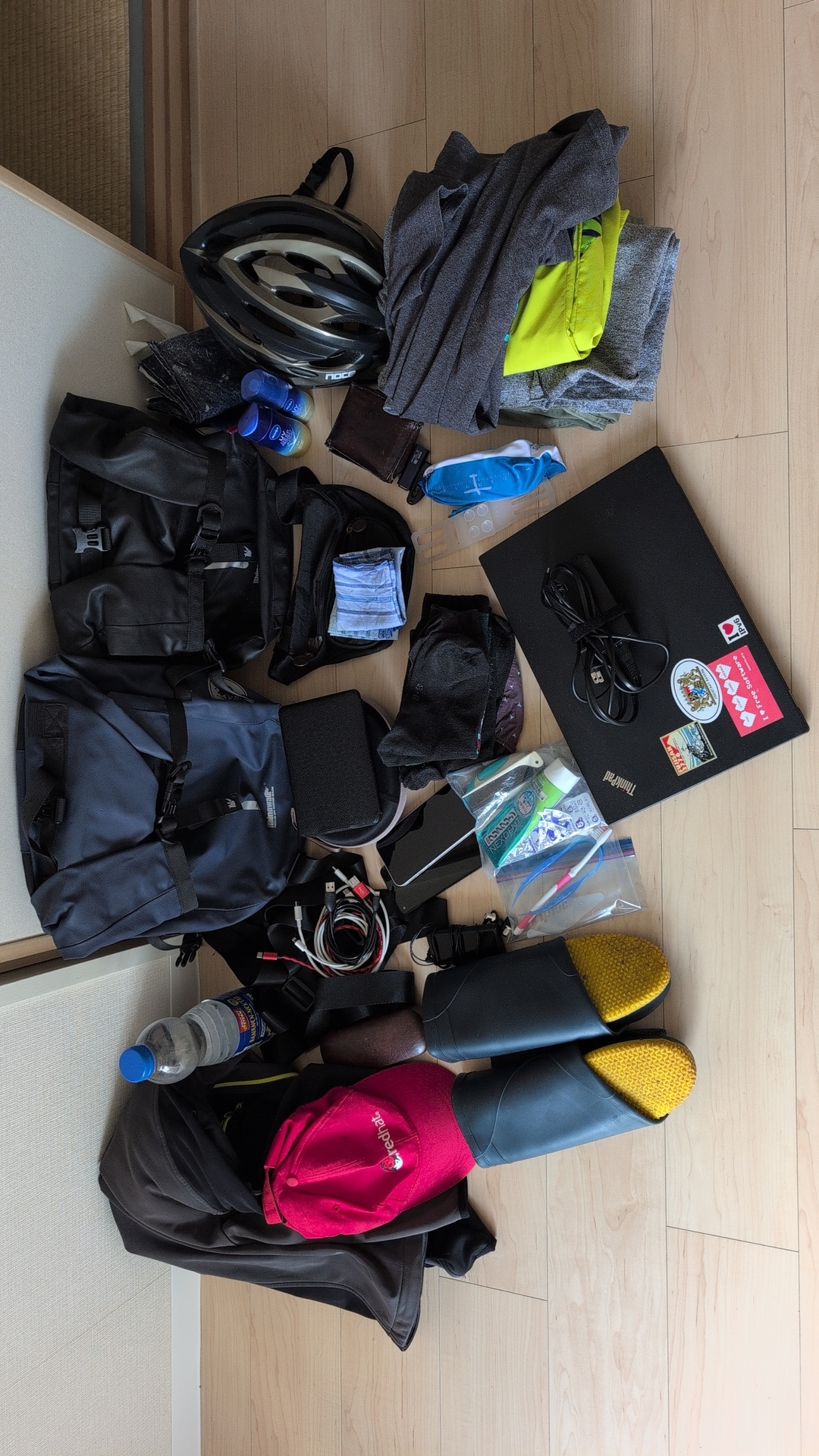
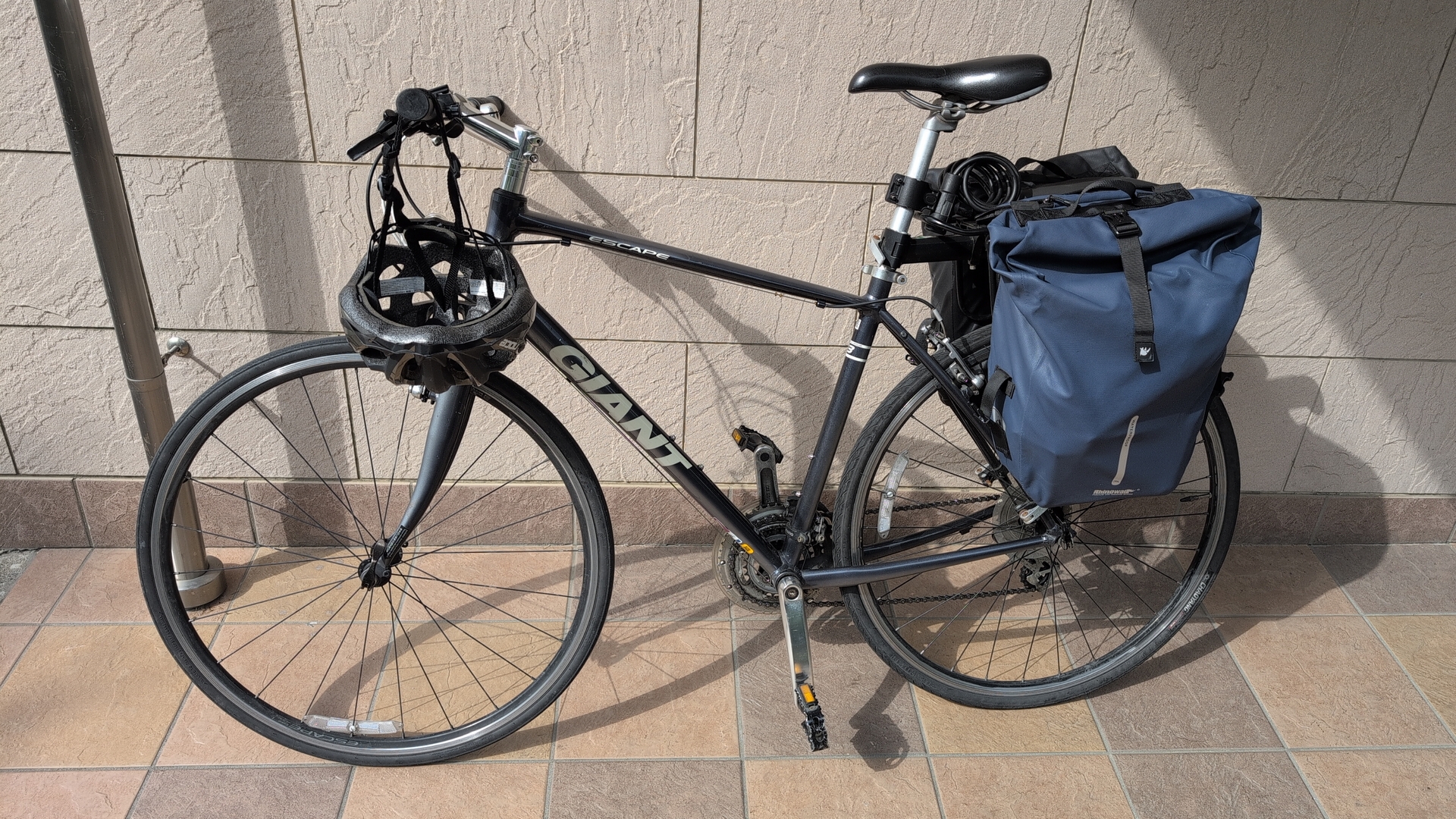
I copied the maps to the Pixel 9, the Pixel 4a and the iphone from the company. All of these have OSMand installed, which can fetch maps for offline use and can open the routes to ‘follow along’.
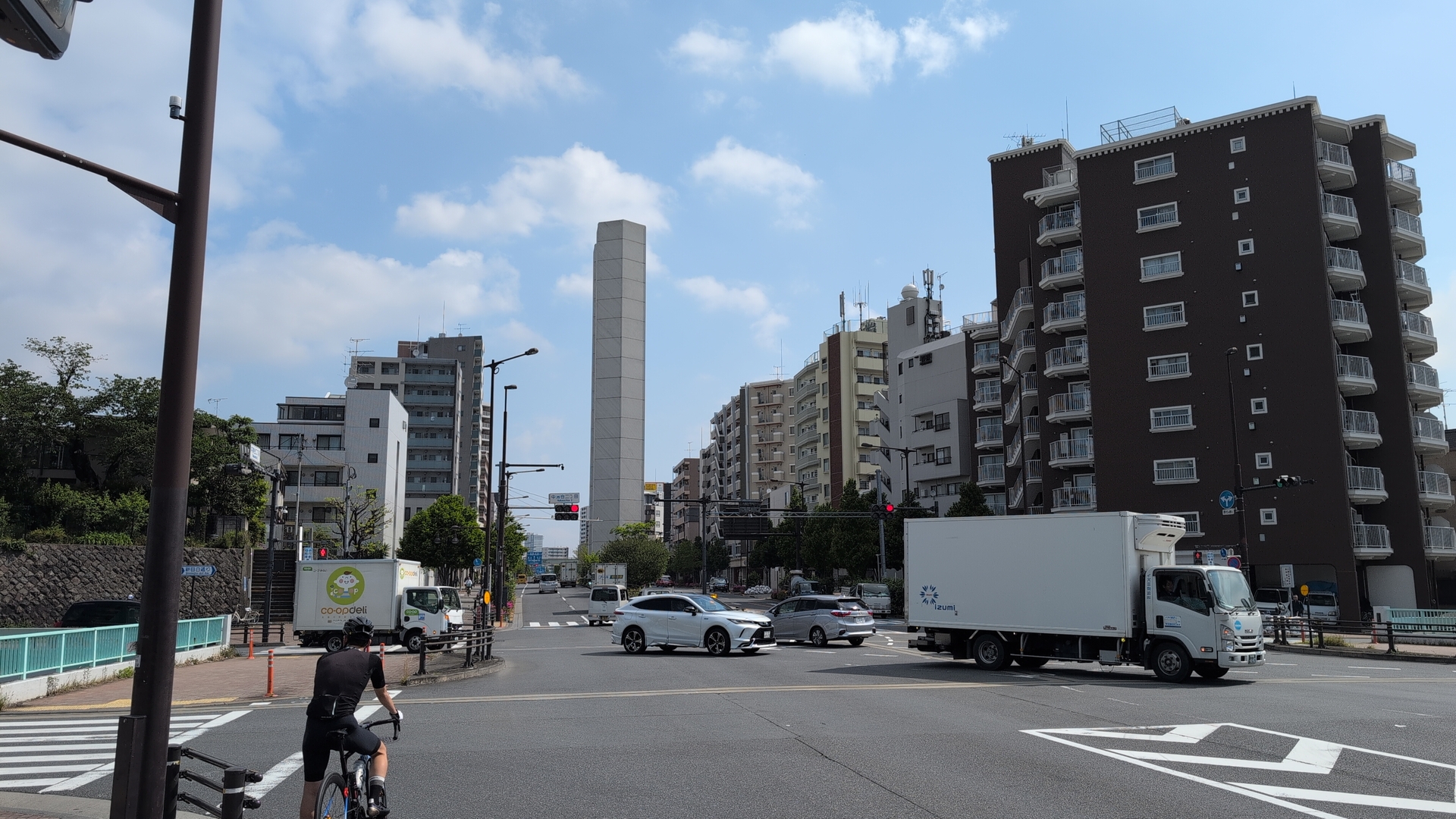
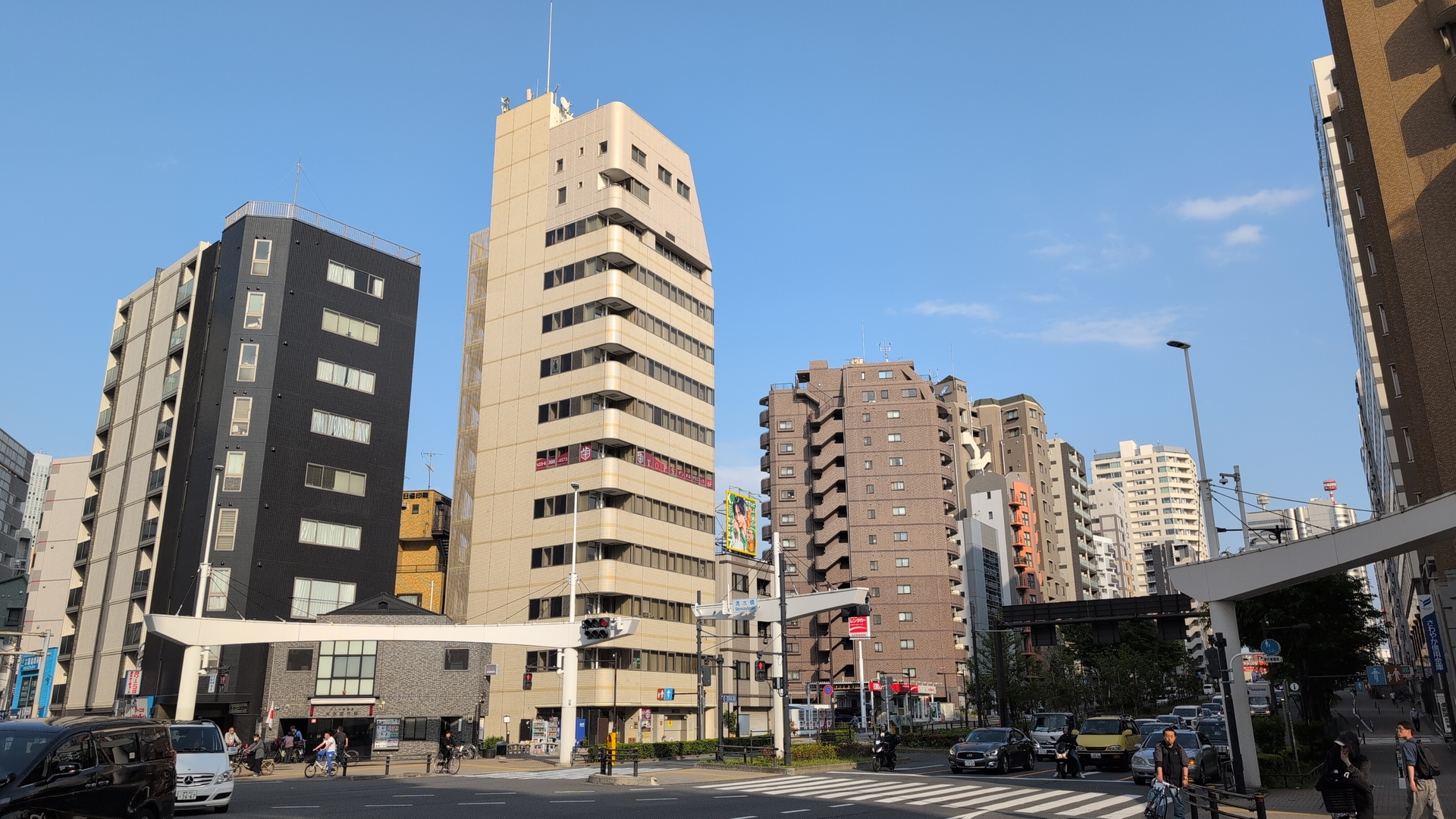
Leaving Tokyo
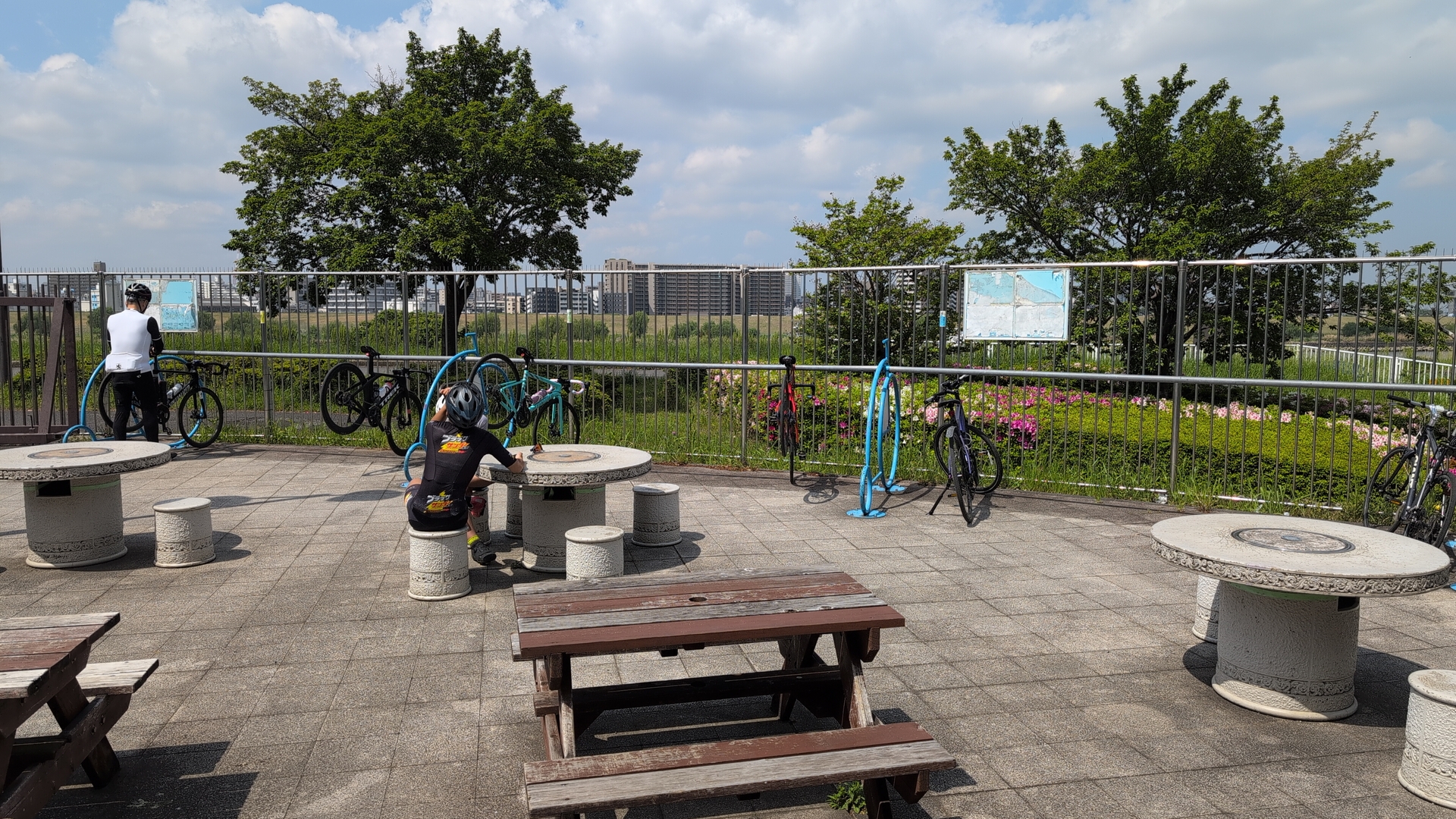
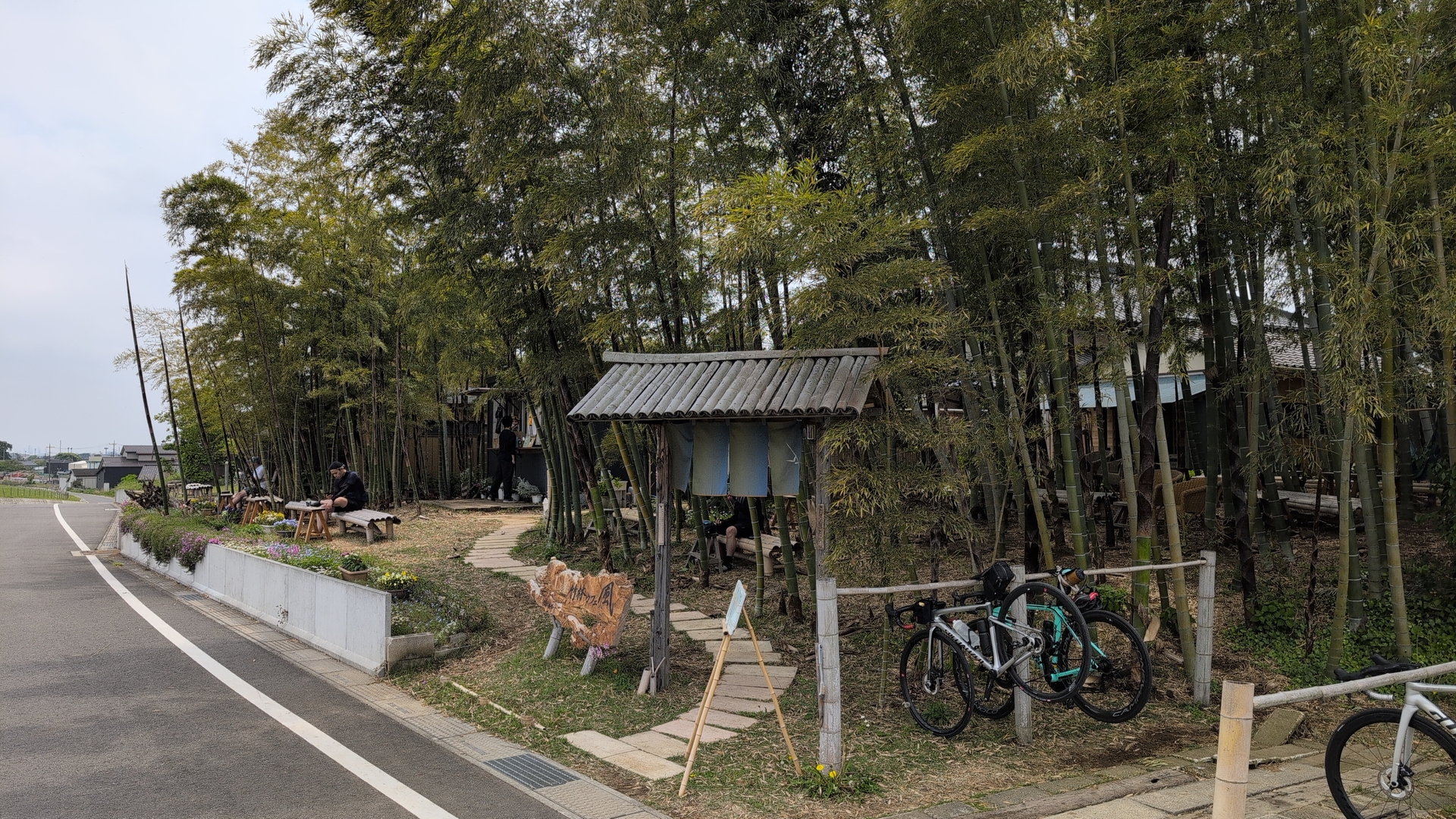
I had planned the trips of the last 3 years on brouter.de, always doing a new planning as the hotels I would stay always changed and I wanted to take advantage of potentially improved route selection. All 3 routes had always returning parts. First milestone common to all the trips is ‘Kitchen Toretate’, a nice place offering food and banks to sit down, with bikers as main customers. It’s nicely located north of Tokyo, like “a gate to the outside world”.
This time I just had the company iphone plan a trip to ‘Kitchen Toretate’ with google maps: I did not expect to see many nice spots in the city on that part of the trip, and google is just suggesting big and efficient roads - so also quite fast. This part took 80min. From ‘Kitchen Toretate’ on I used the 2 Android phones until I reached the hotel around 5:30pm. I also started to recharge from the laptop battery, but did not need the recharged phone eventually.
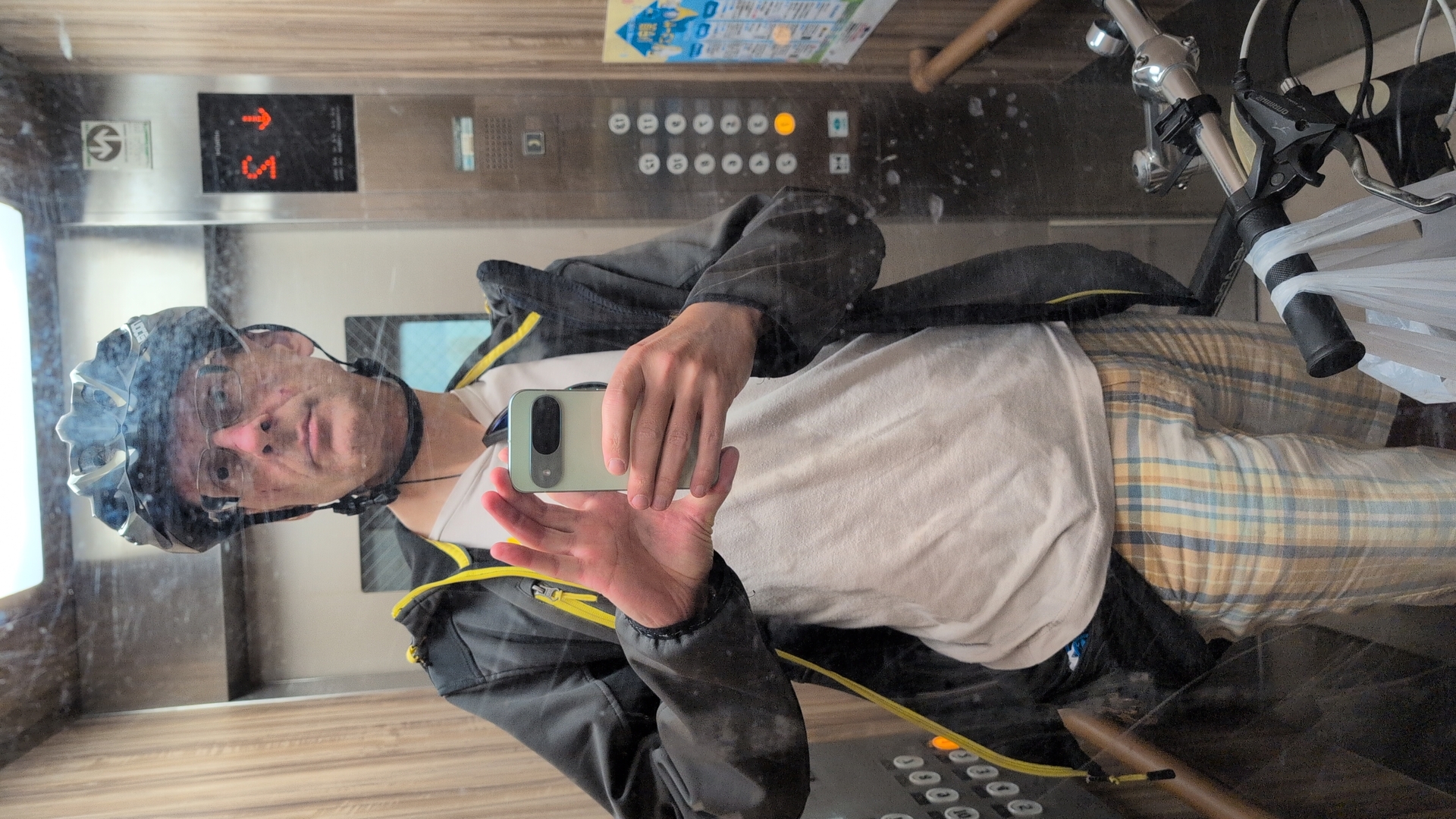
I had the mobile phone attached to the handle bar. Pixel 9 and Pixel 4a allow unlocking with finger print - convenient. The iphone tried face recognition, failed as I was wearing helmet and sunglasses, and so the phone asked for pin - annoying.
For longer sections I turned the screen off to save power. When following the route on the Android phones, I had no online connectivity.
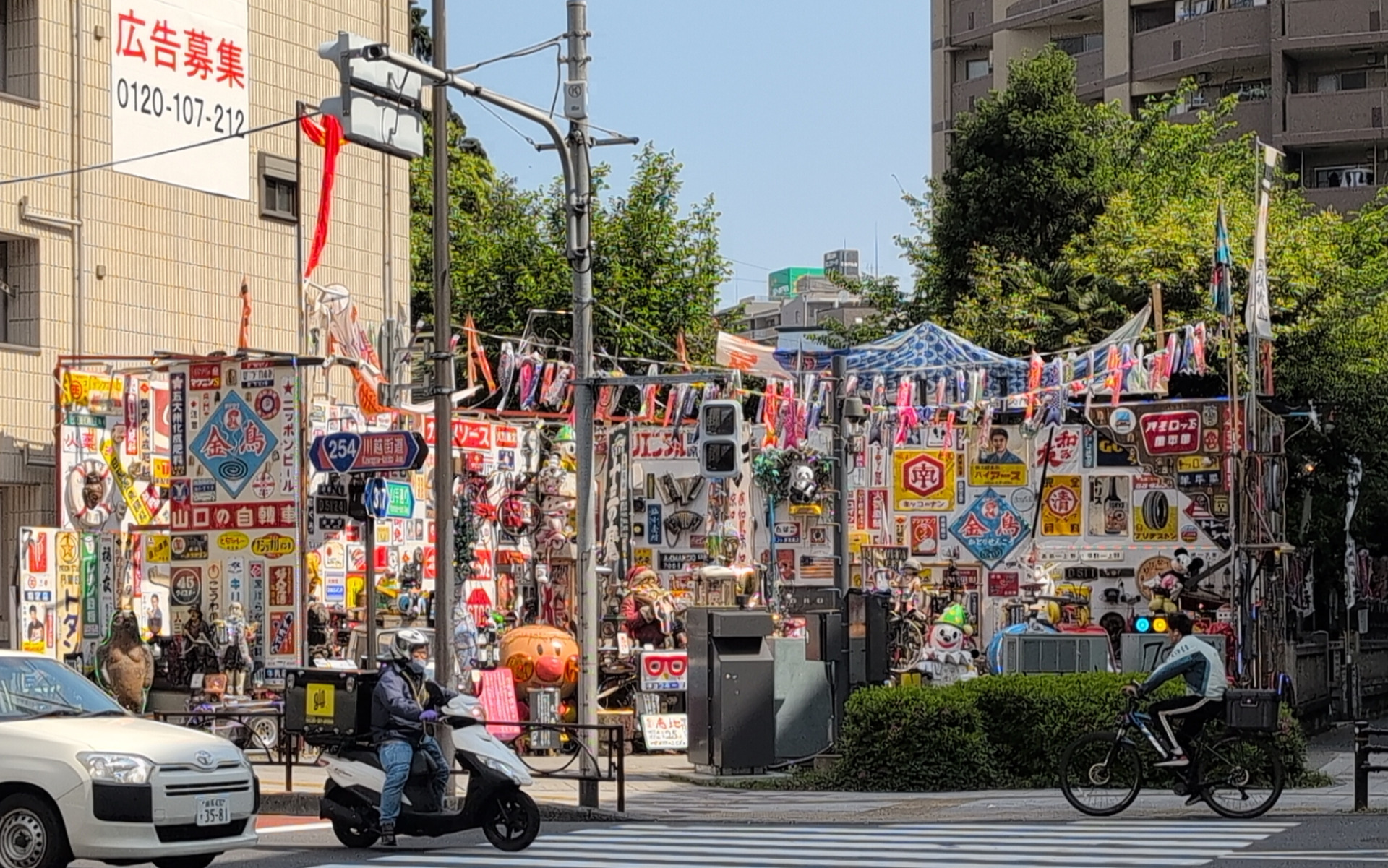
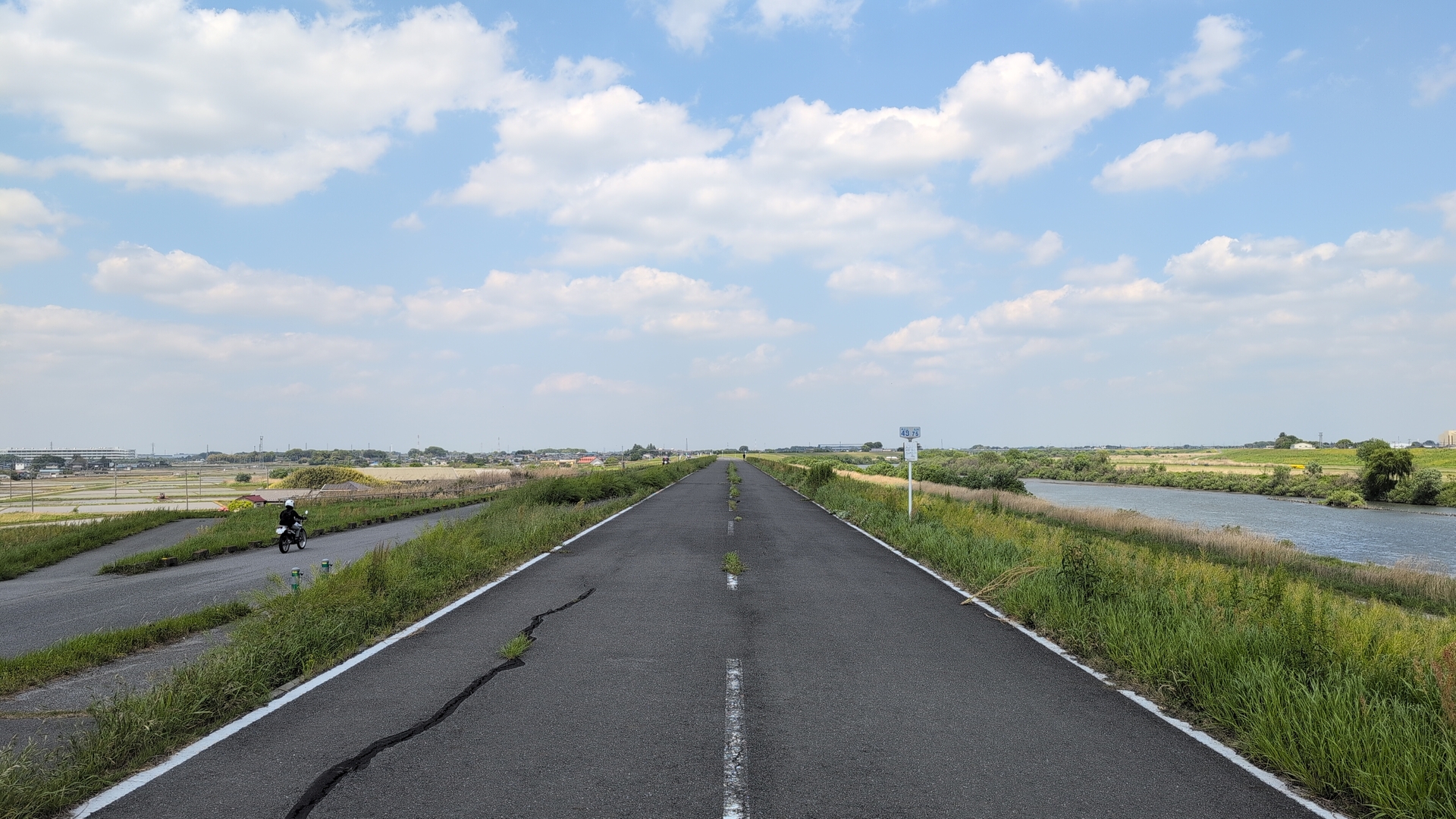
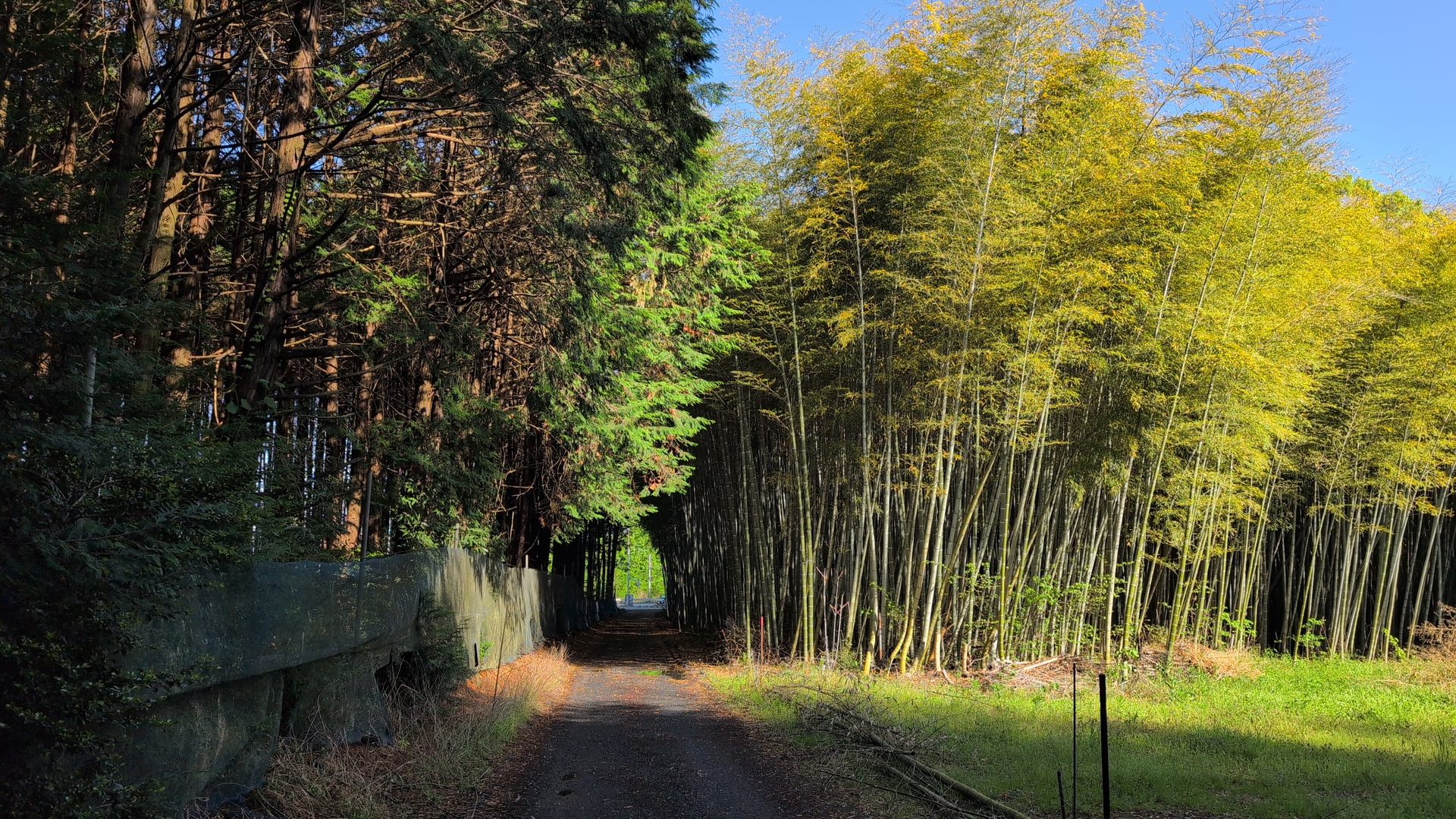
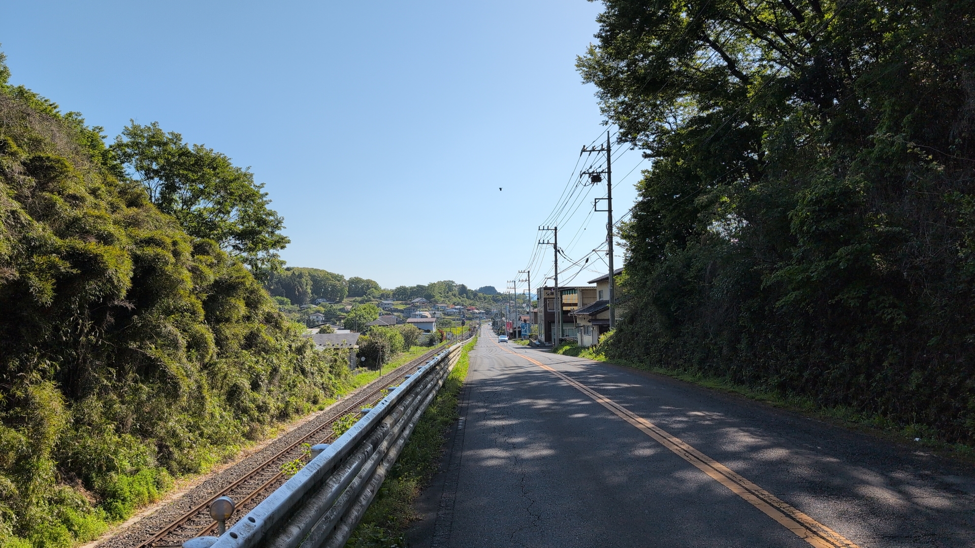
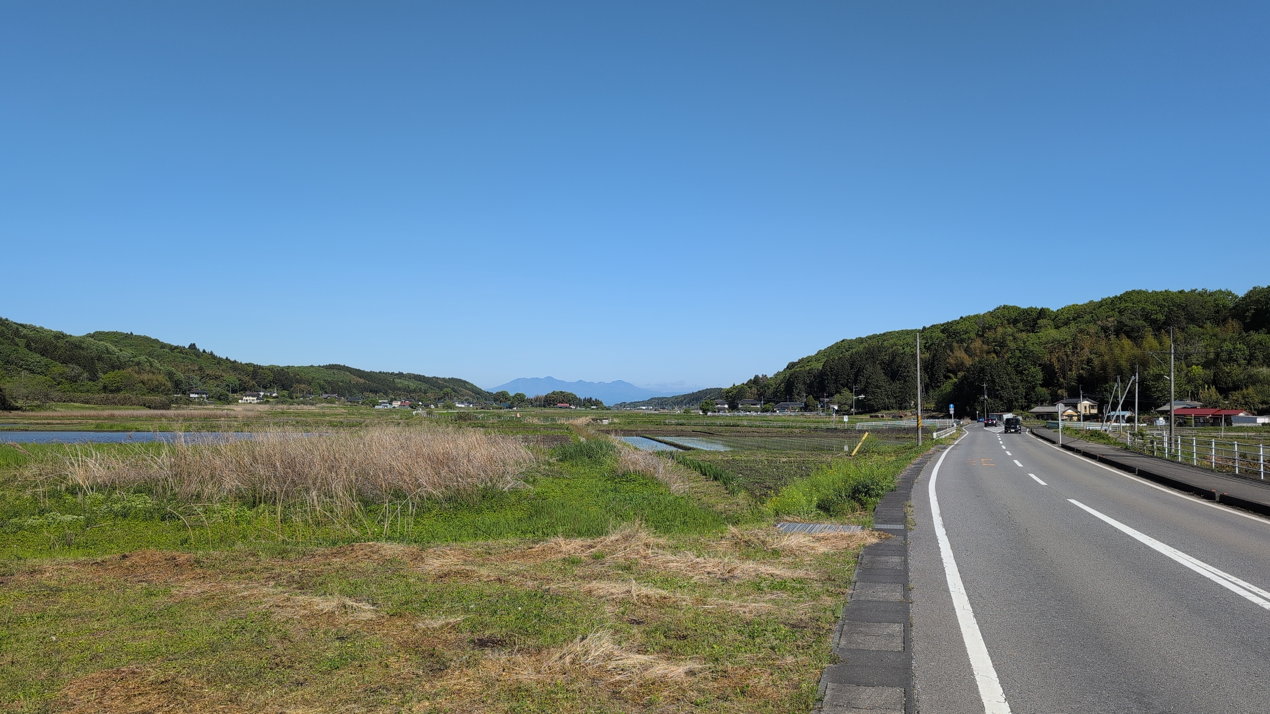
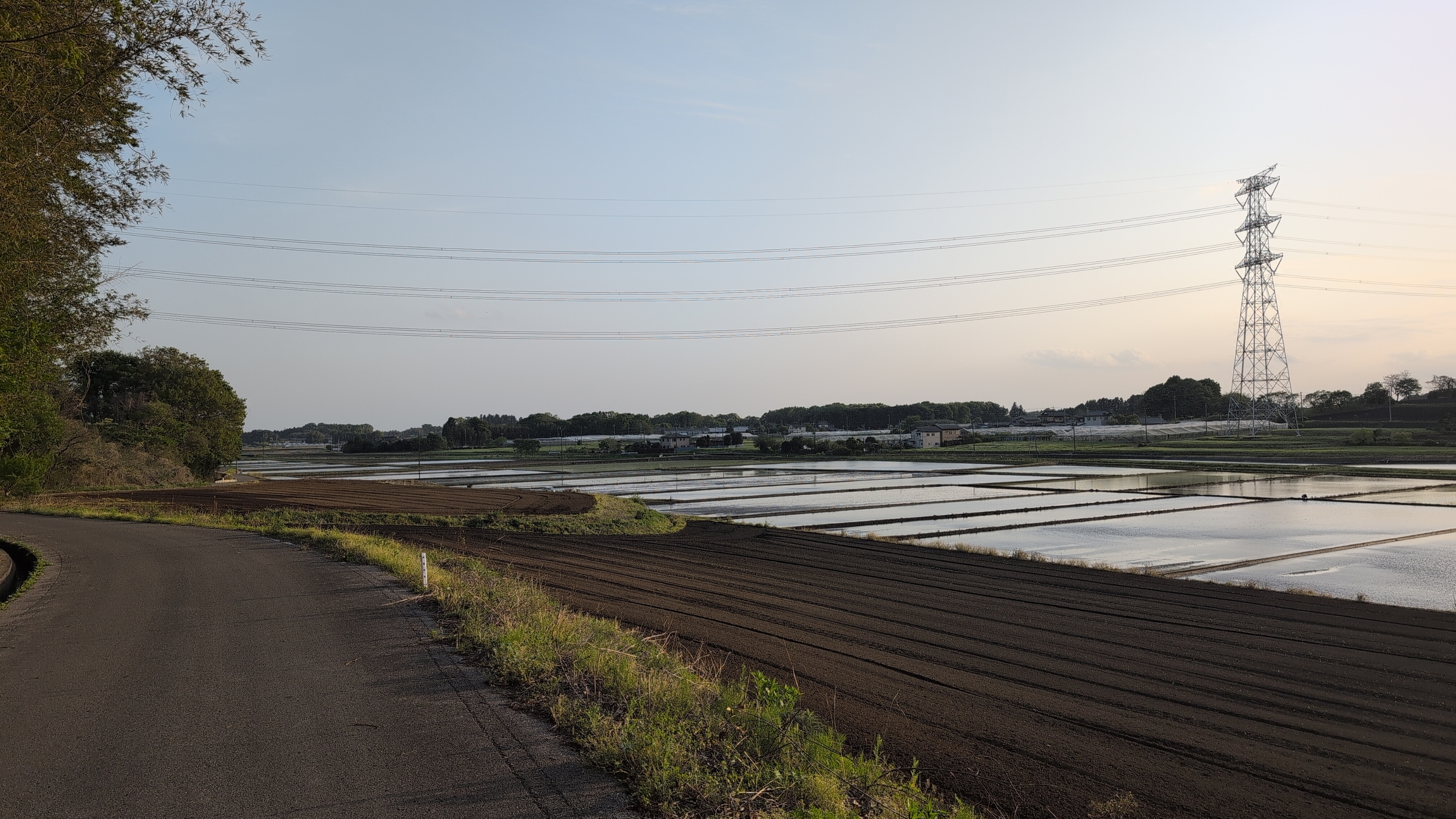
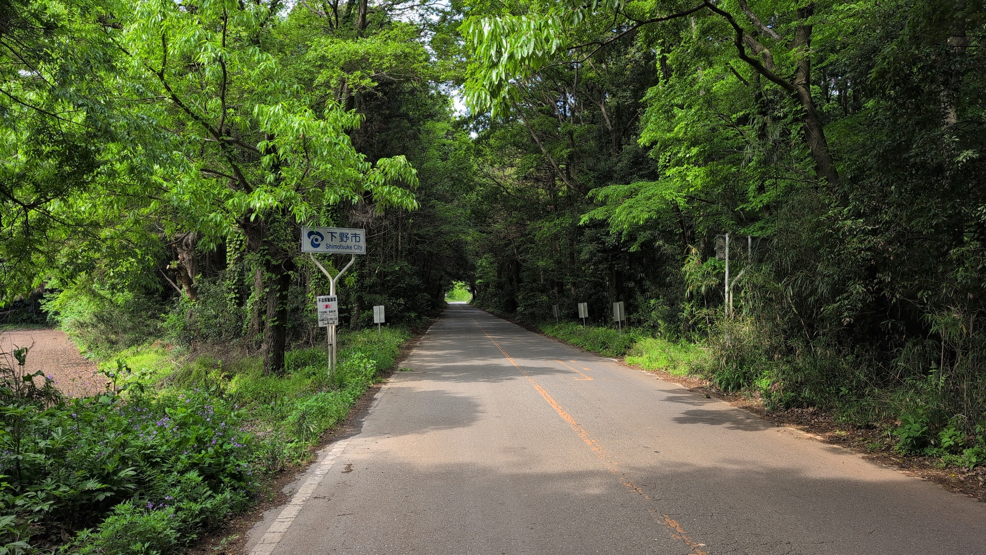
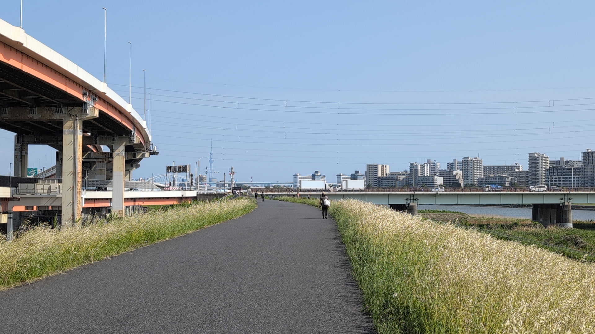
Rural area
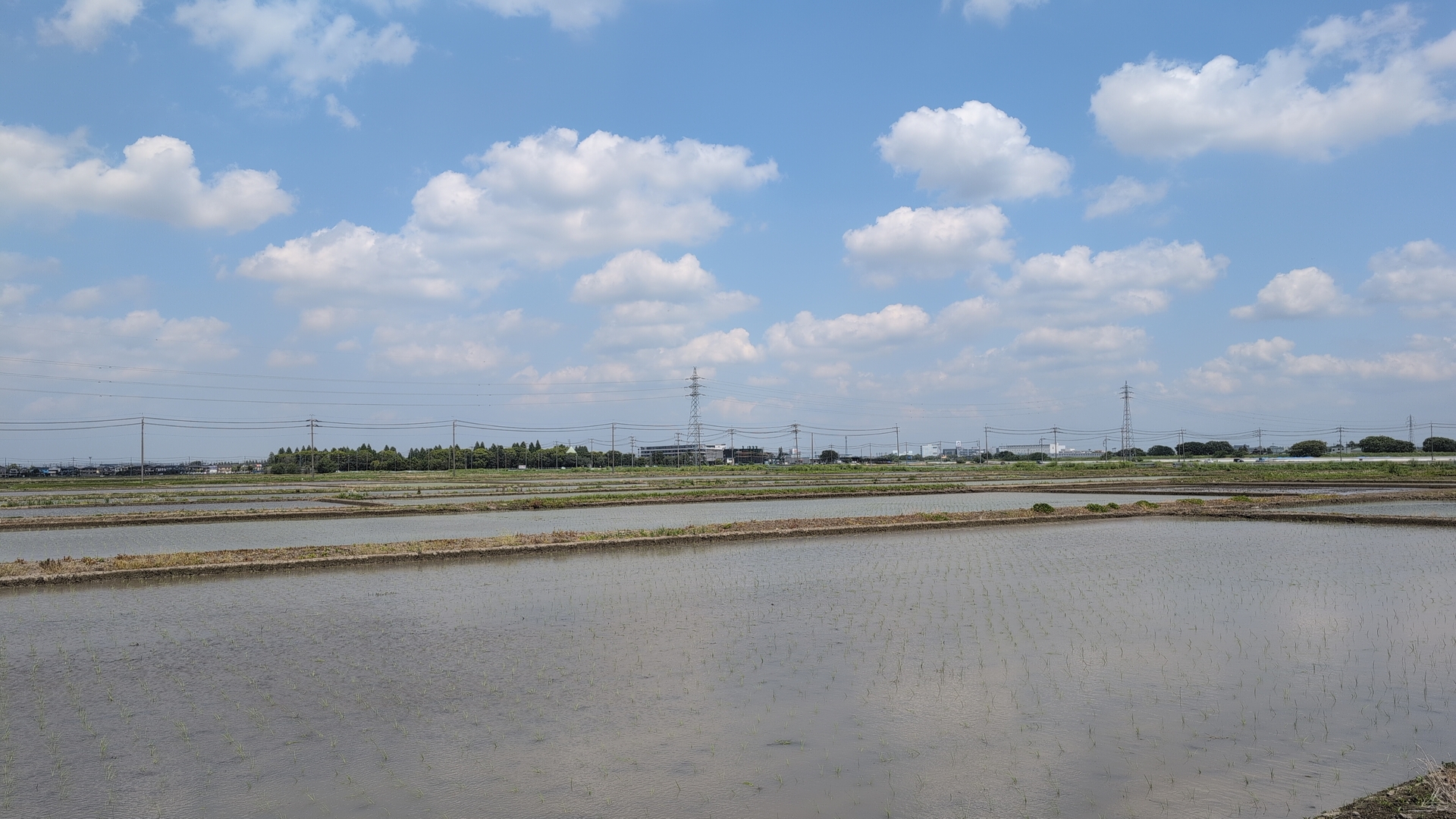
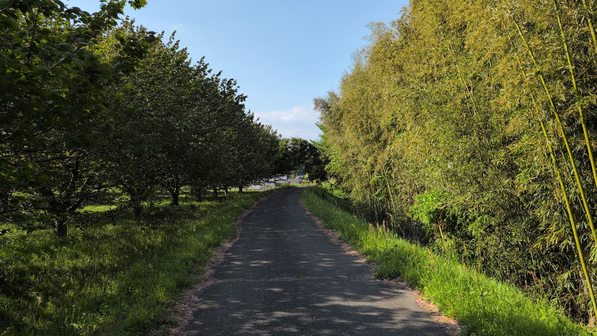
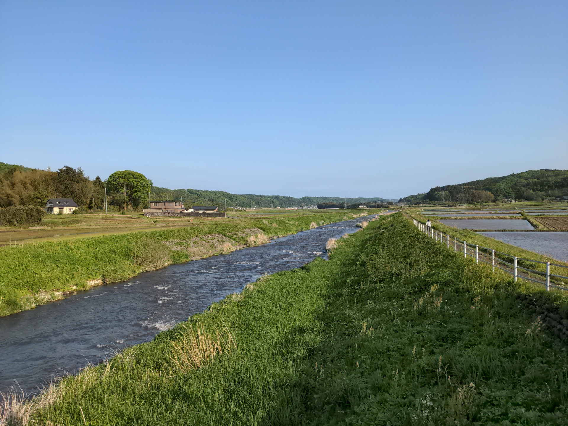
Now, finally more quiet areas, first rice paddies. The route was often along rivers, trying to stay away from big roads - at the cost of a longer trip, of course.
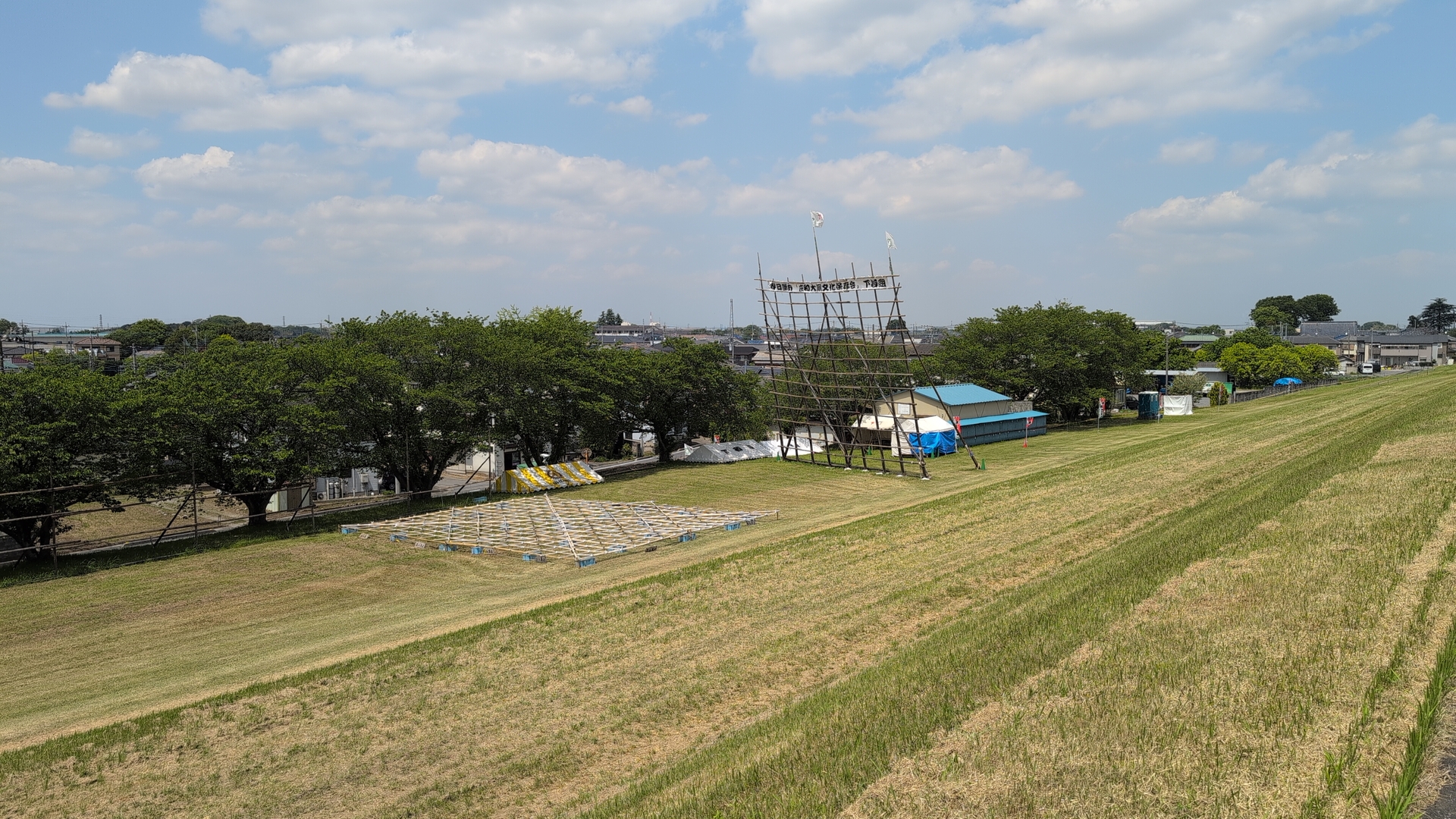
I saw the preparations for the “big kite festival”, so where people
try to fly a huge kite. This was especially interesting as two
years ago I had witnessed that event: that place was then crowded by
people, all if festival mood, watching kites.
This image
was taken 2 years ago.
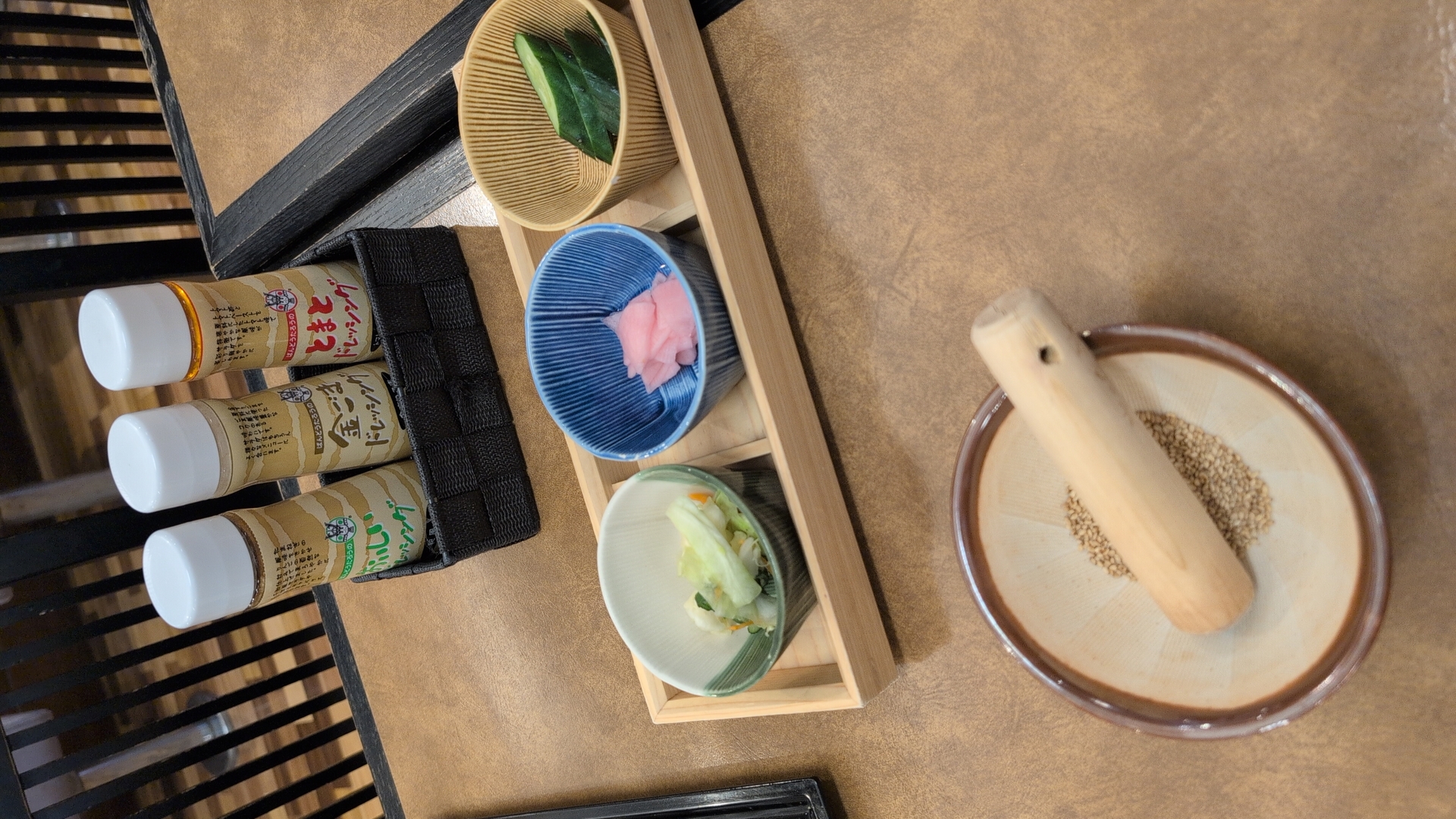
Lunch
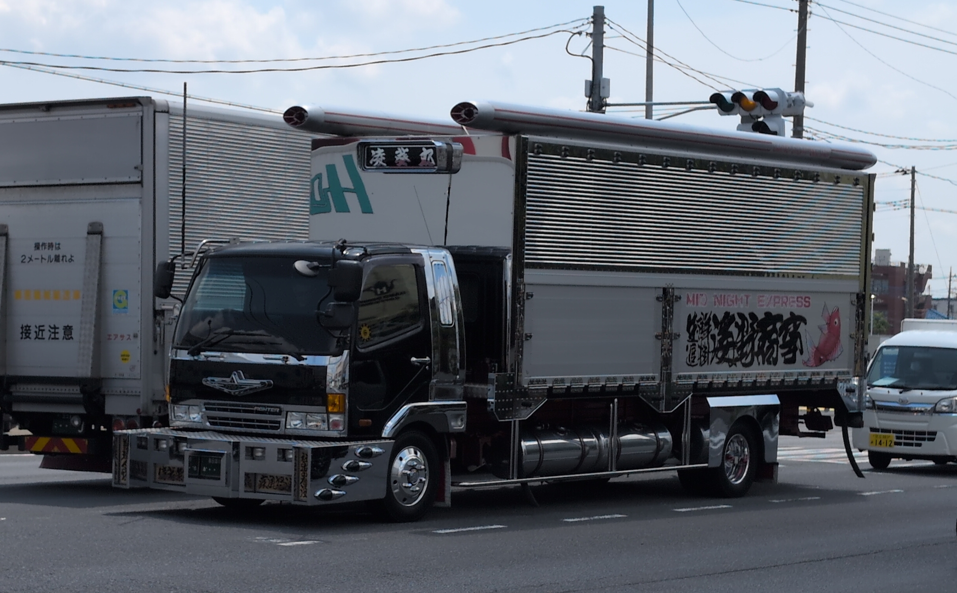
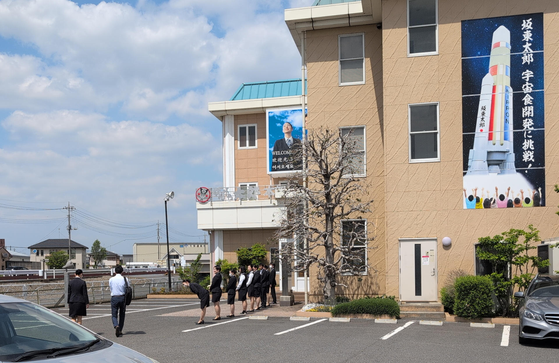
One part of the trip was along highway 4, I had lunch at the same place as last year. At the nearby “Bando taro” company I witnessed all staff in front, bowing at the arrival of someone, maybe a customer or a boss. “Bando taro” is in food business, equipping restaurants. The text next to the rocket says 坂東太郎宇宙食開発に挑戦, so “Bando Taro takes up the challenge to develop space food”.
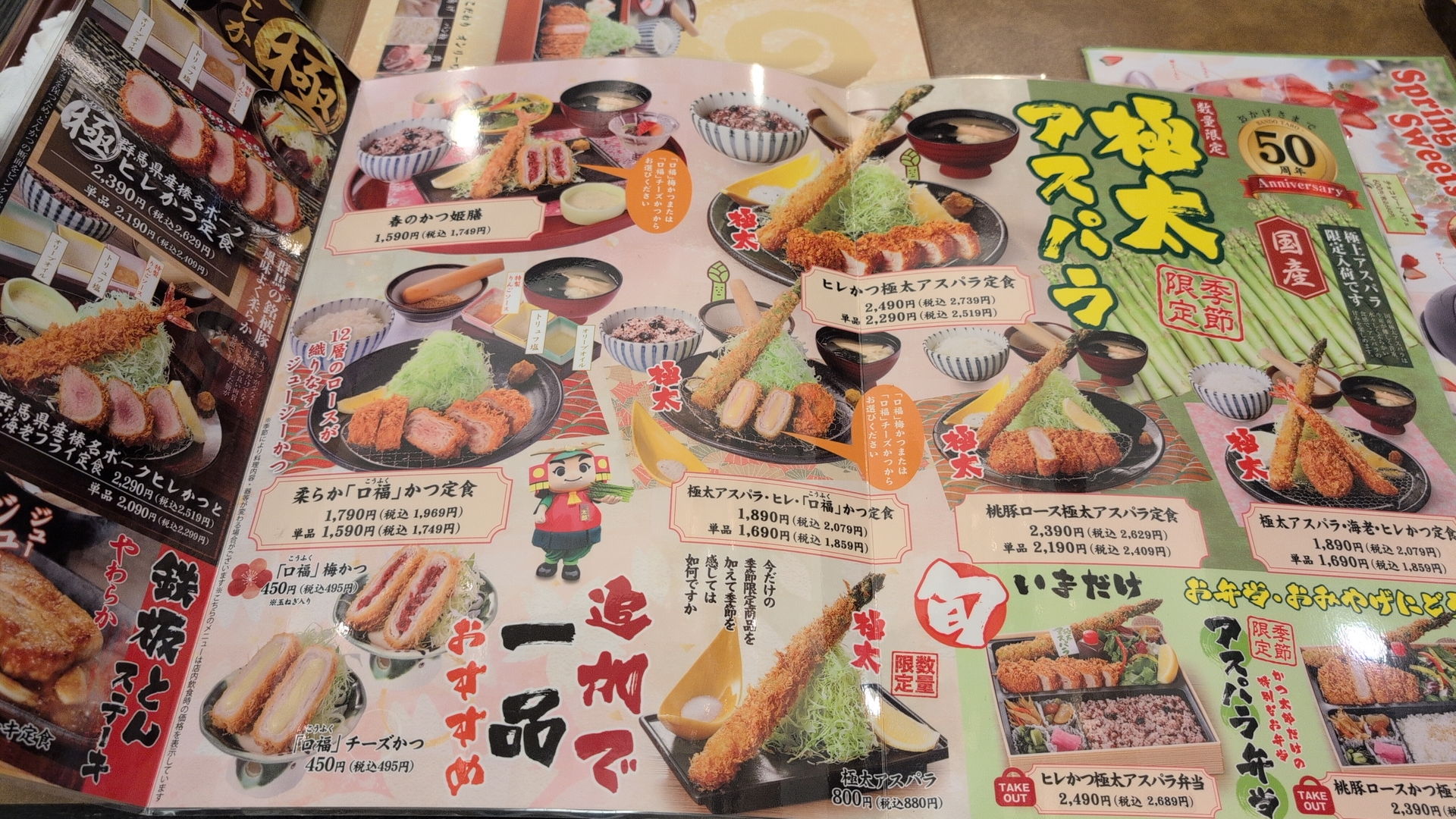
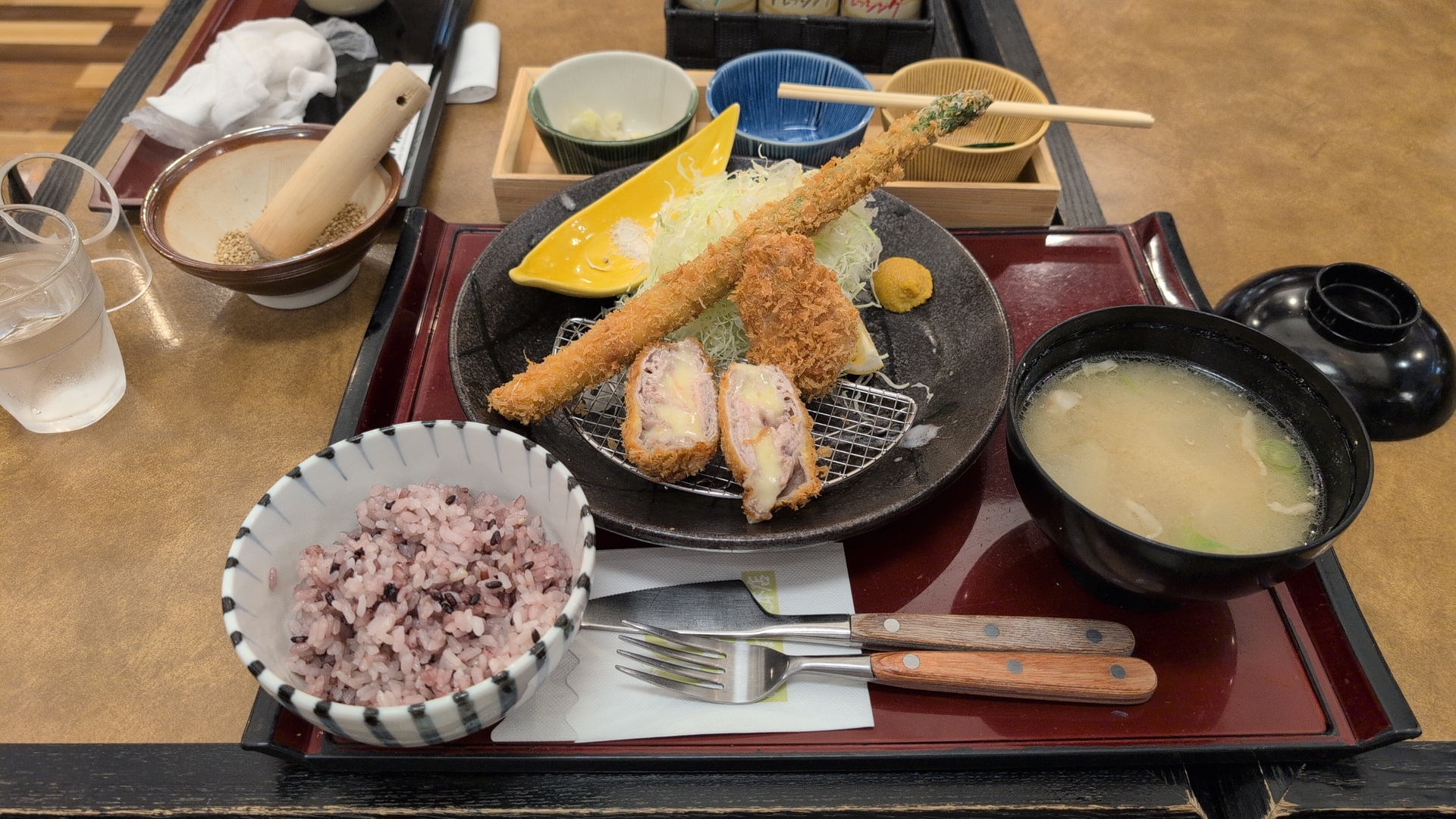
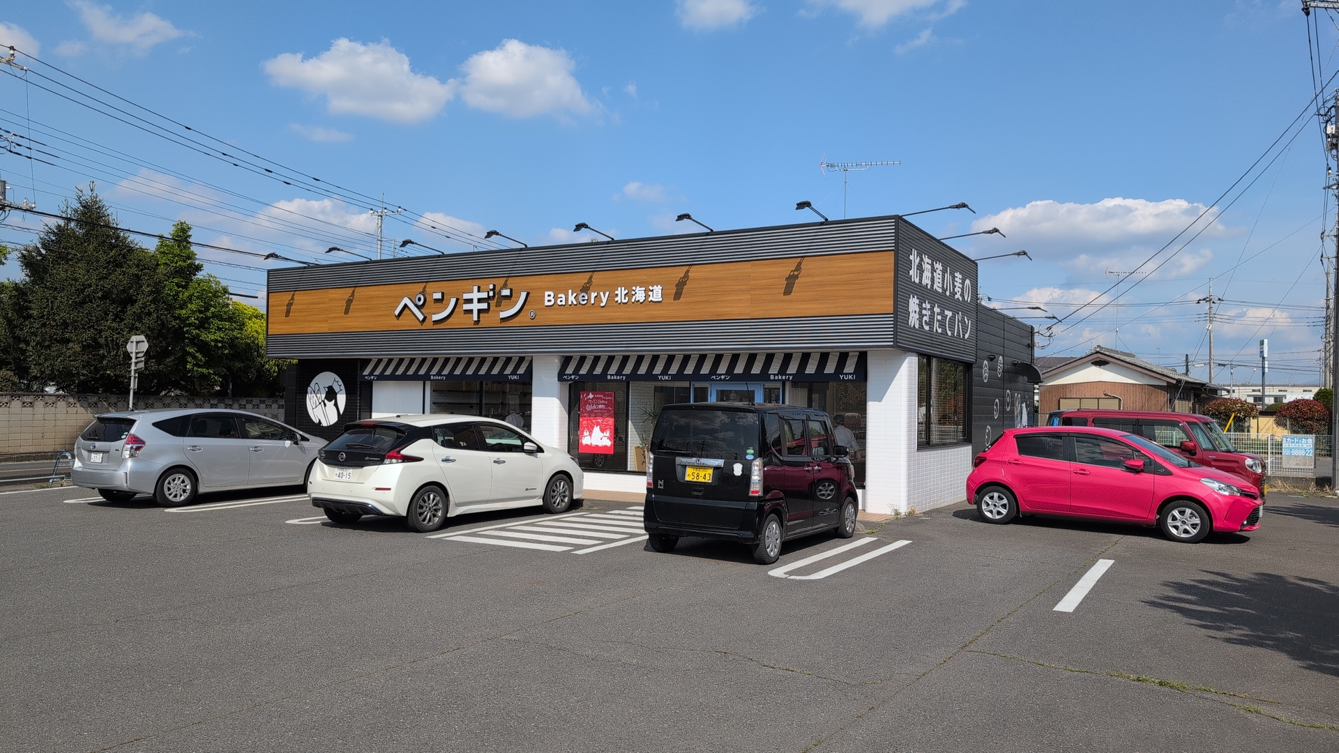
The menu at the restaurant was great, I had the asparagus, along with vegetable. Some time after lunch I passed by this Hokkaido style bakery called ペンギン (penguin), where I got a dessert.
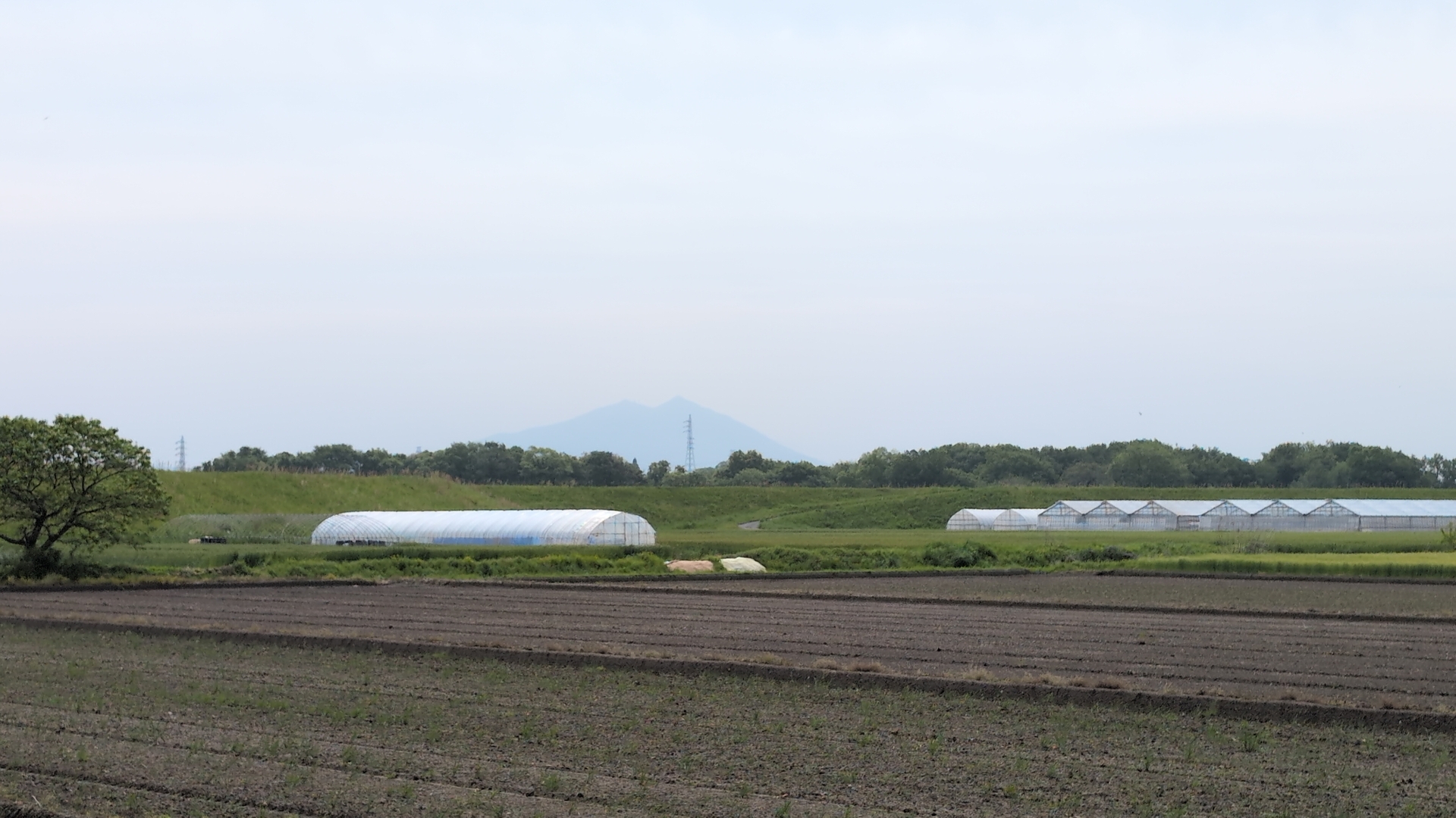
Utstunomiya
Onwards to Utsunomiya, for the first stay at a hotel. Nice green everywhere.
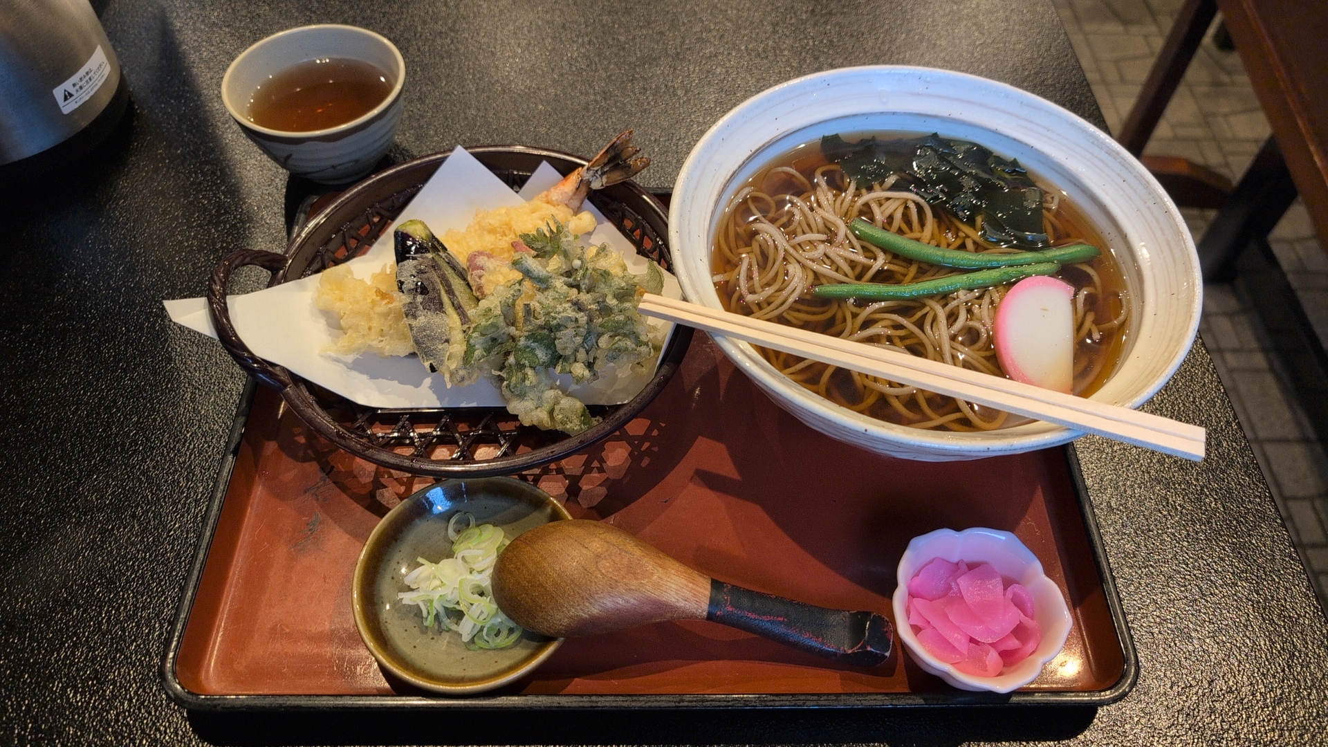
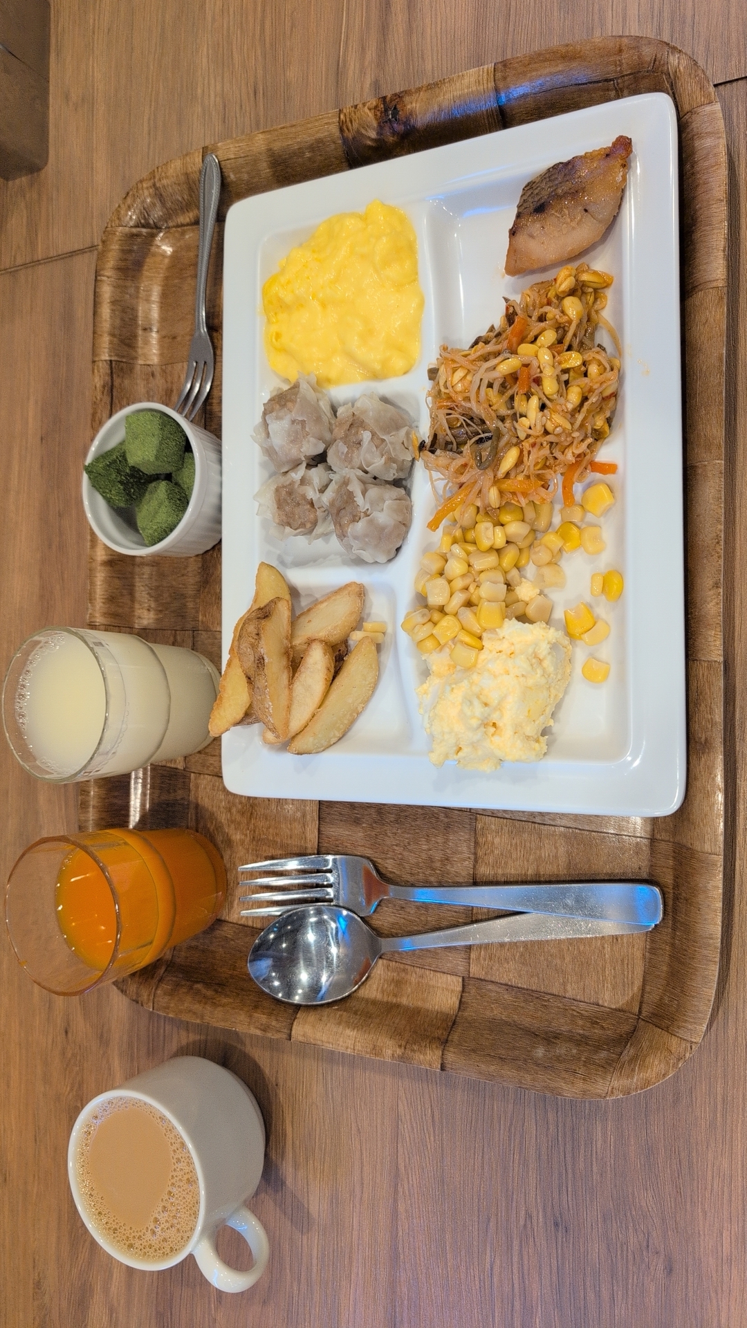
Friday
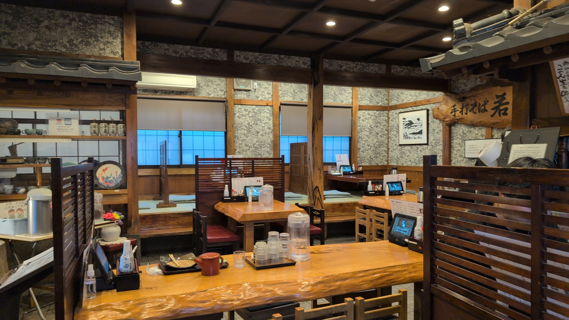
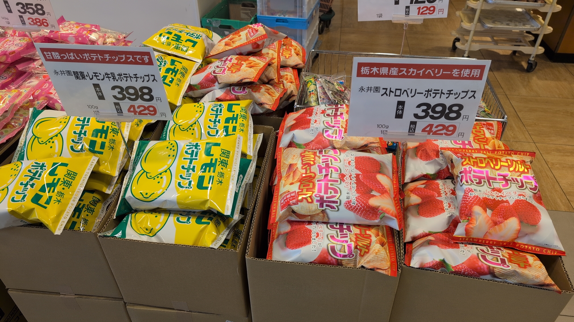
Friday was all rain, I stayed at the hotel and was working. The wlan was ok. The hotel featured a “public bath” where one could enter all day from 5am to 2am in the night. I had lunch at a Soba restaurant nearby. A super market was featuring potato chips with Lemon- and Strawberry taste!
Rice planting!
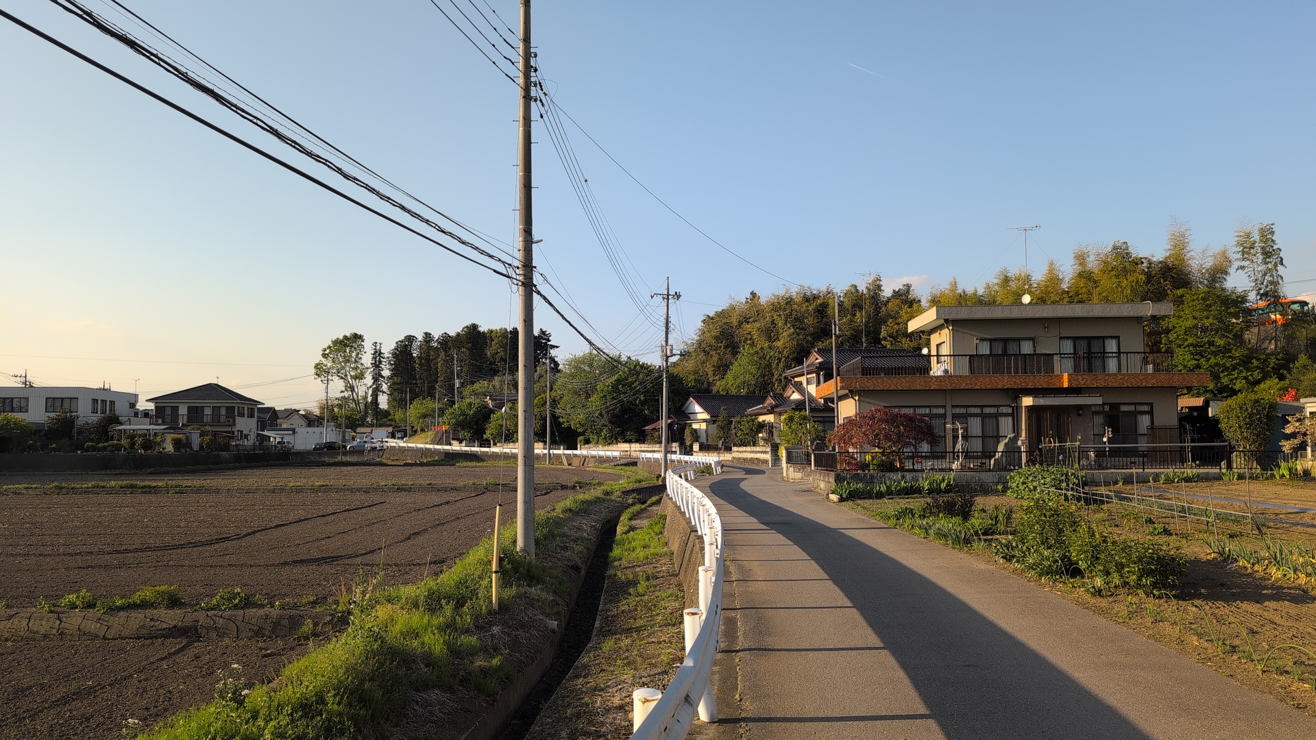
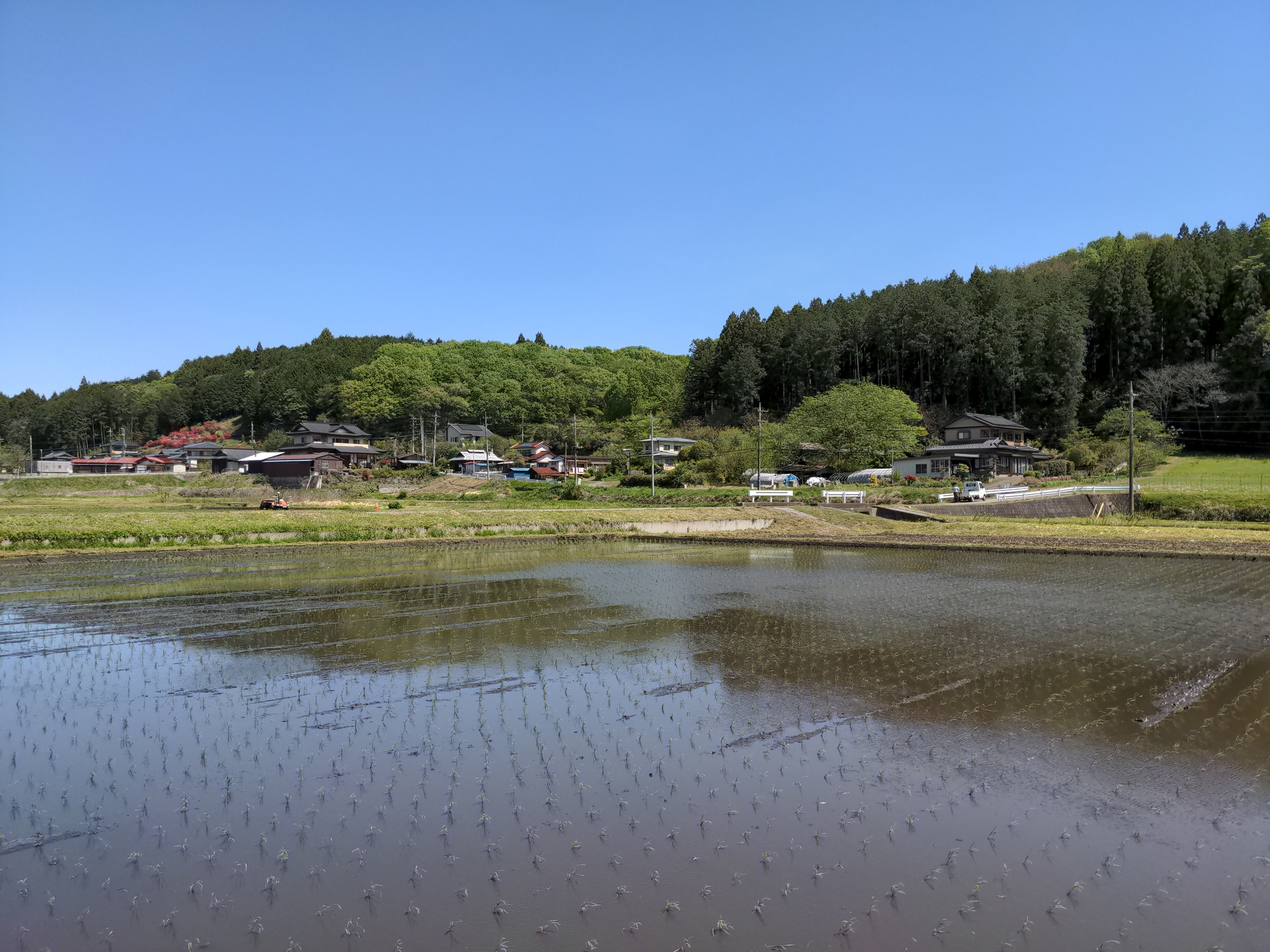
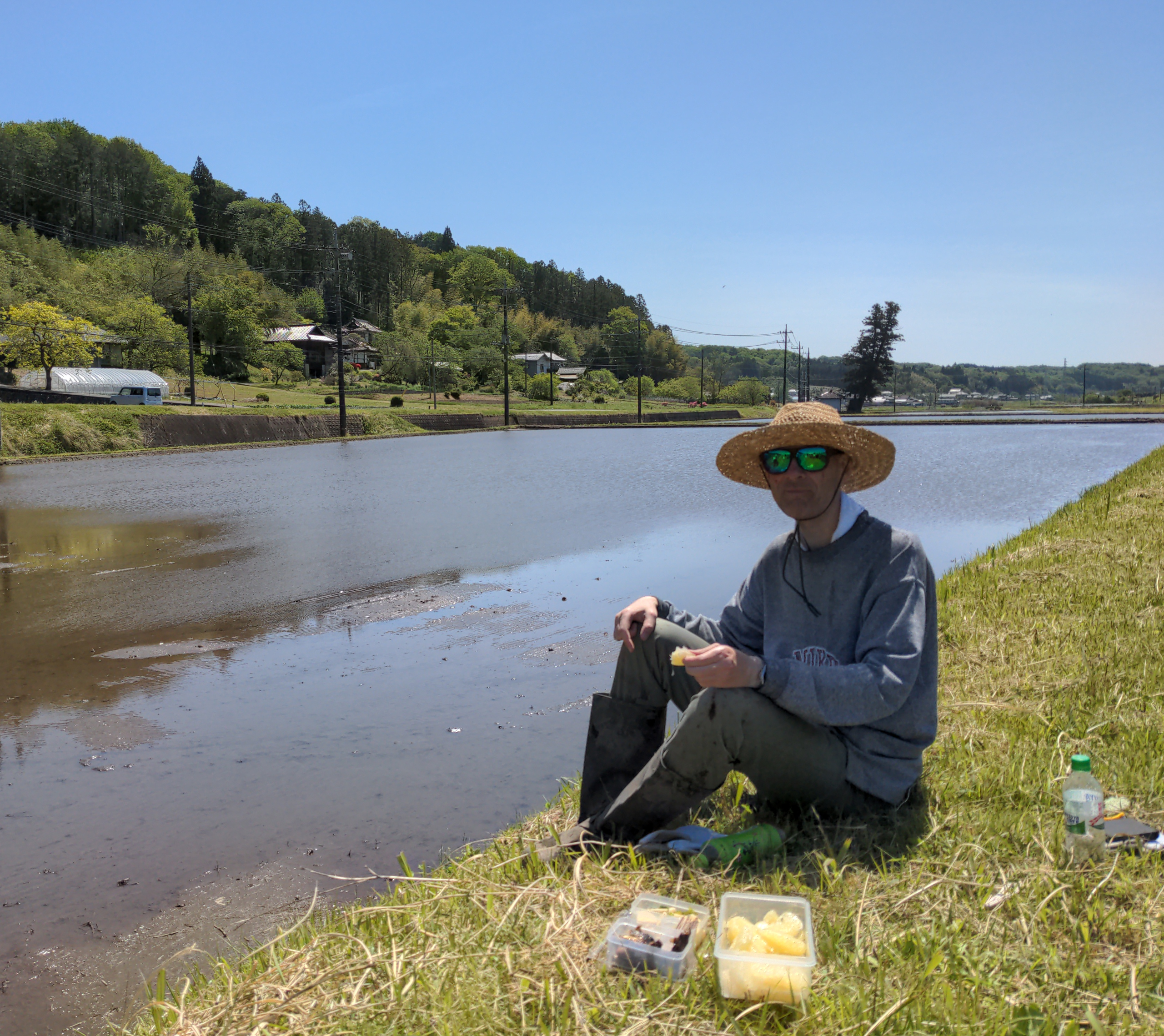
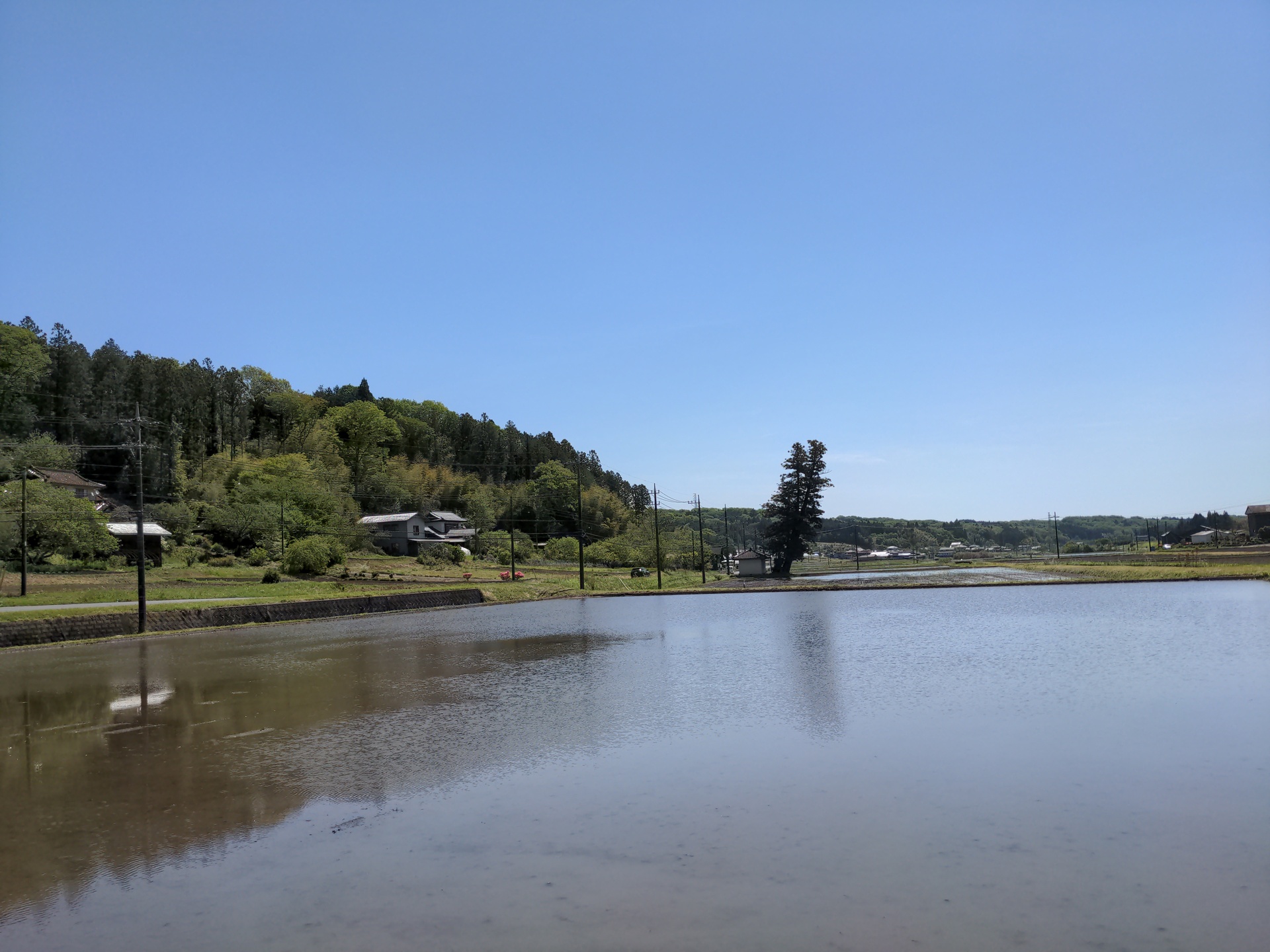
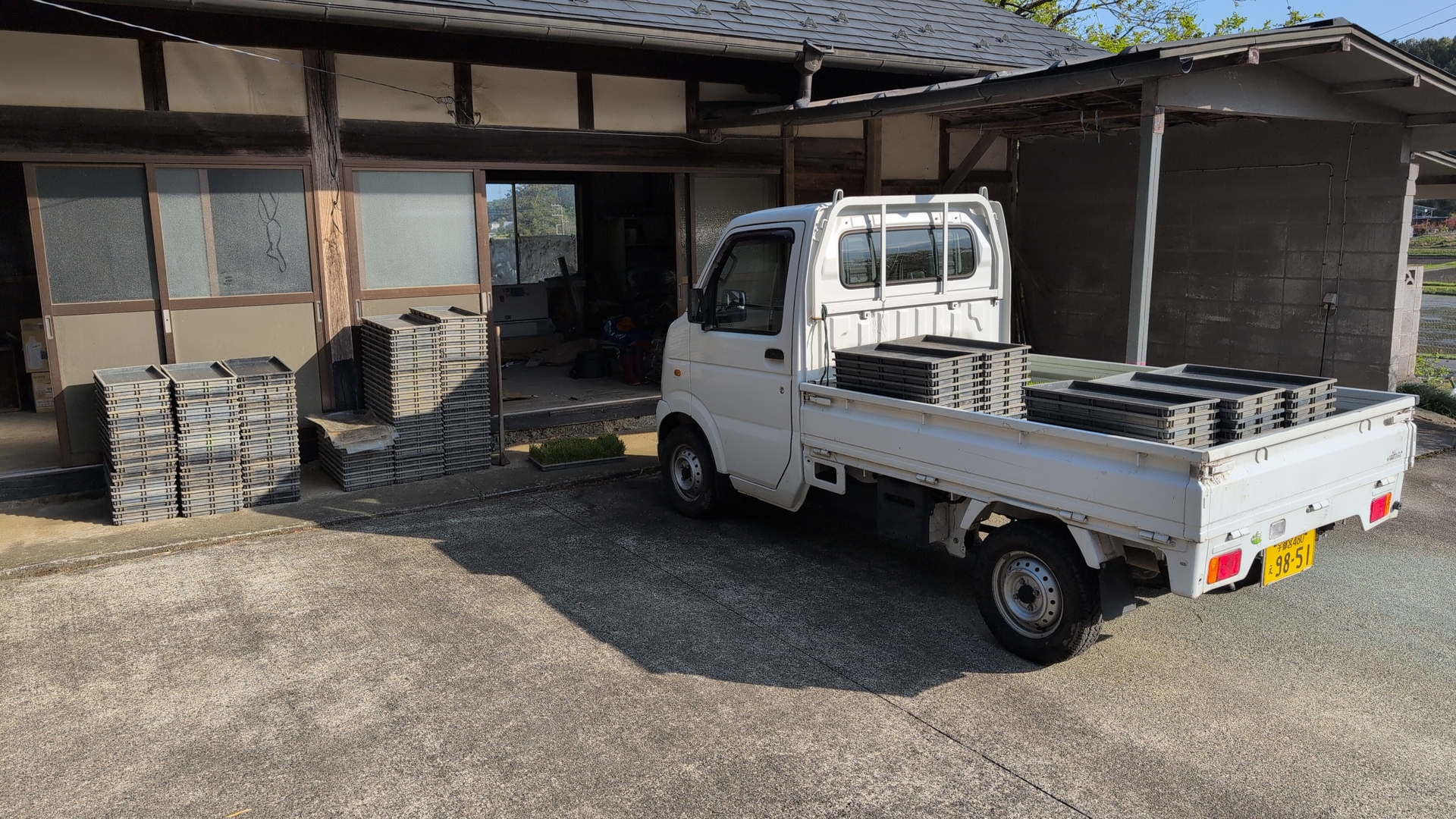
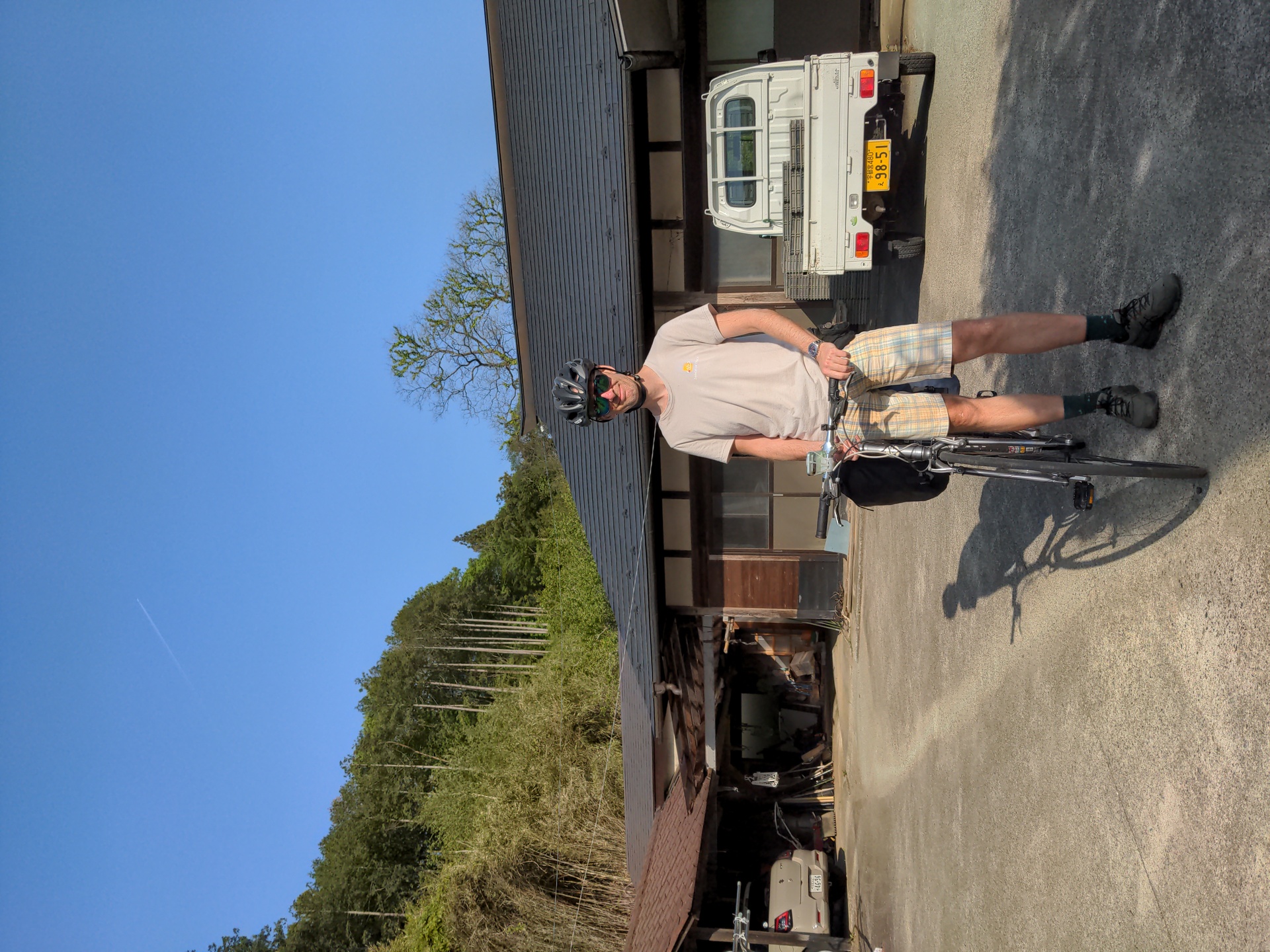
Saturday was the rice planting day. I still had to go 31km in the morning, wanted to leave as early as possible, but also wanted to catch breakfast which started at 6:30. So I left the hotel at 7am. The planned route tried to work around big roads, but as there was not much traffic on this Saturday, I often took the road instead. My friend is living in a beautiful valley, farm houses on both sides, rice paddies in the middle. Arriving by bike, I first get a great view of the neighbor valley, then enter the actual valley, and drive up for 5km. Arrival around 9am was just right, the planting had just started.
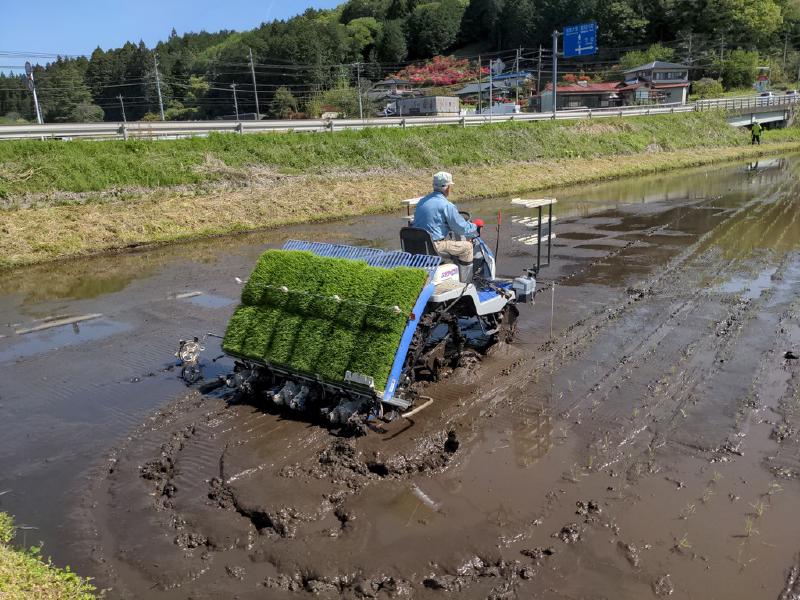
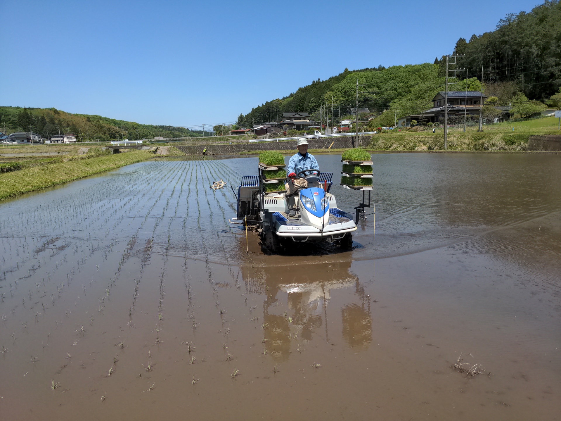
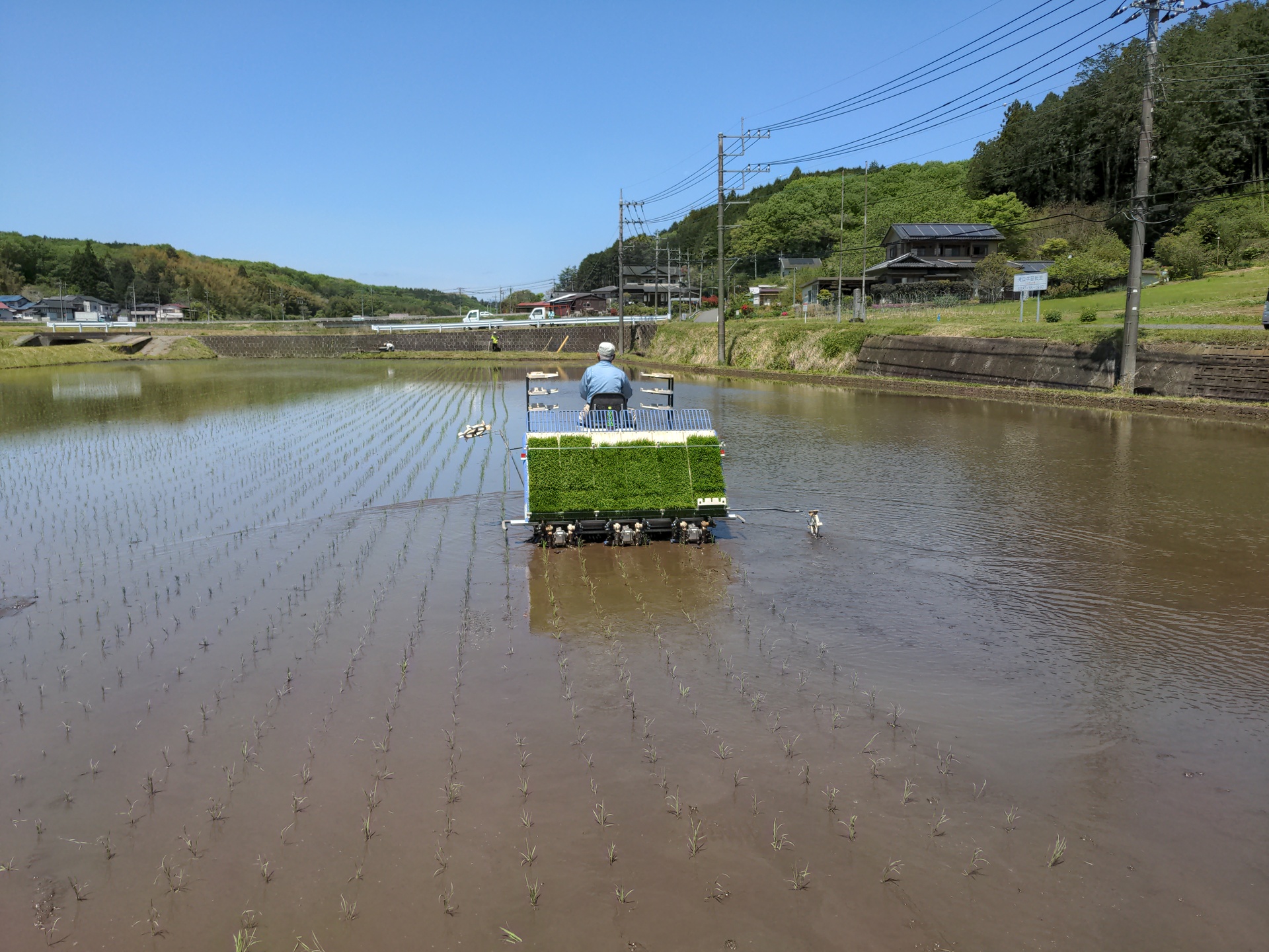
Until around 1970, rice planting was very hard: whole families spreading over the rice paddy and one by one sticking rice plants into the soil. At rice planting time, the soil is ideally just slightly covered with water, In the past, people did not use boots, just bare feet.
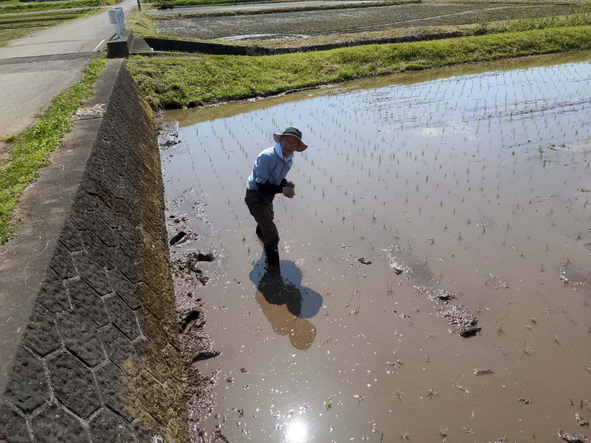
Around 1970, the first rice planting machines appeared, making this much more effecrive. Young rice is grown from winter on, to be in the right state just at planting time. The plants are fed into the machine. The machine is grabbing plant after plant and planting it - amazing technology. The machine is leaving deep traces in the soil, my activity is to leverage that soil out again.

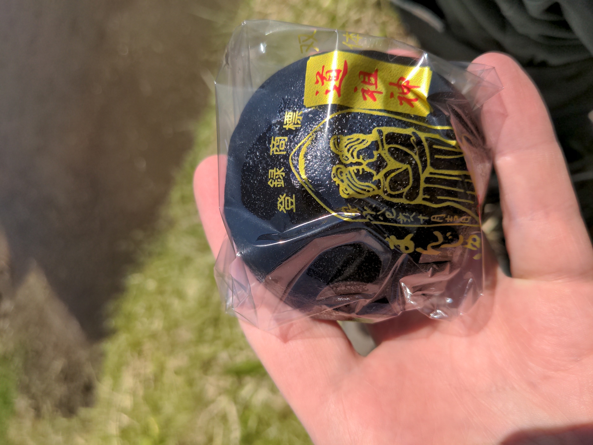
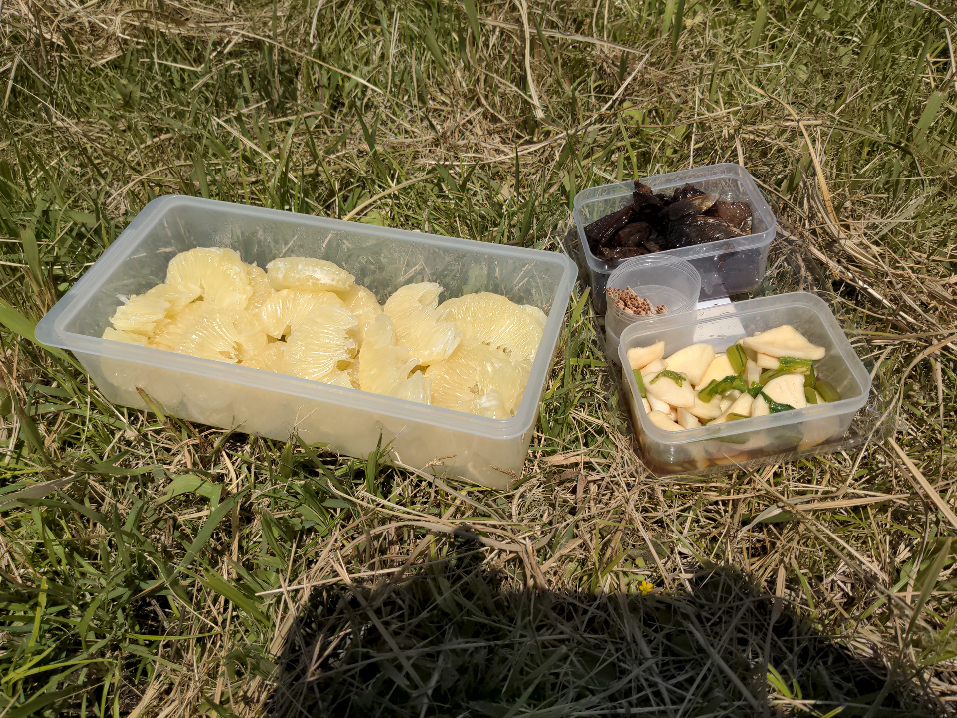
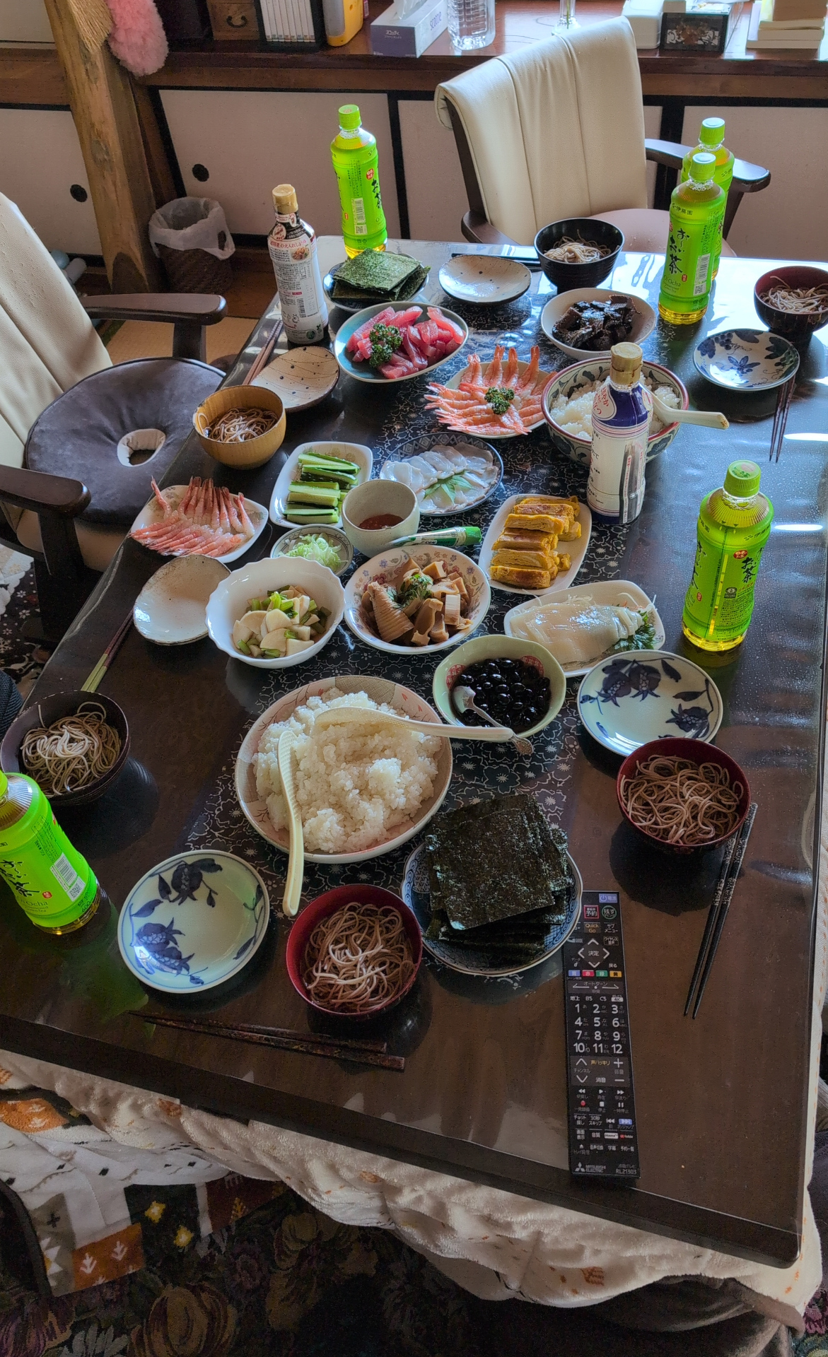
Around 5 people were working directly on the fields: operating the machine, feeding it with fresh plants. I did just ask my friend for permission to put up his picture. We had break, and later lunch. Lunch was great: hand made sushi. Everybody takes a sheet of seaweed, places cooked rice ontop (here of course from own production), adds anything one likes like cucumber, tuna, bamboo pieces, and eats that.
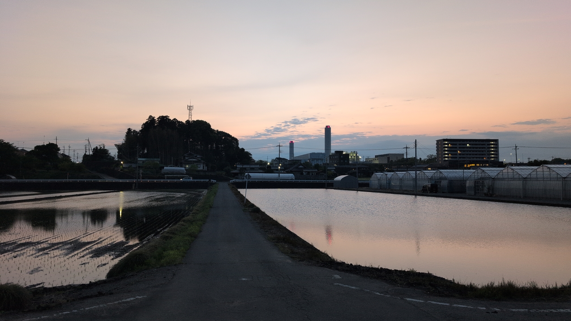
Leaving
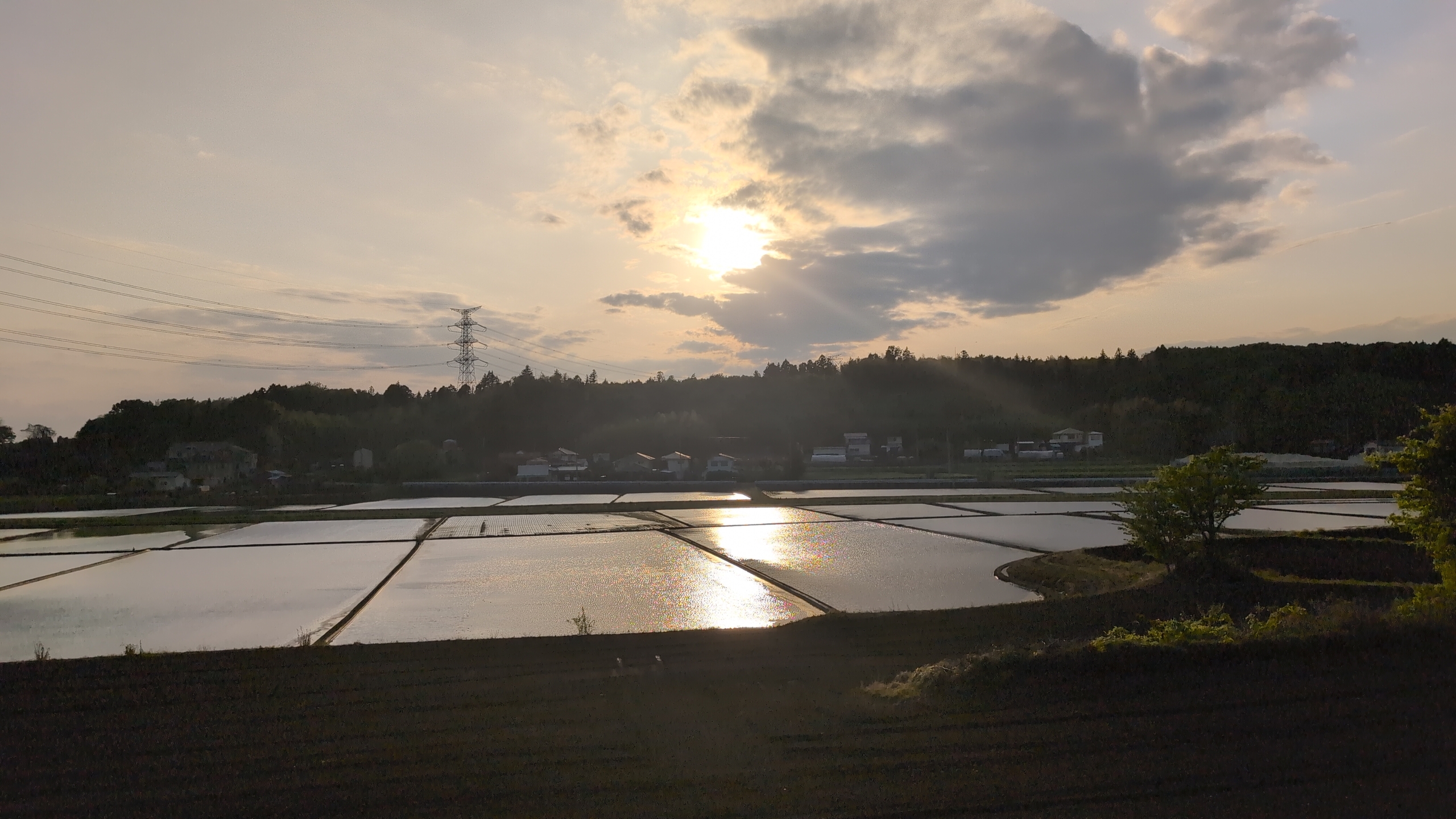
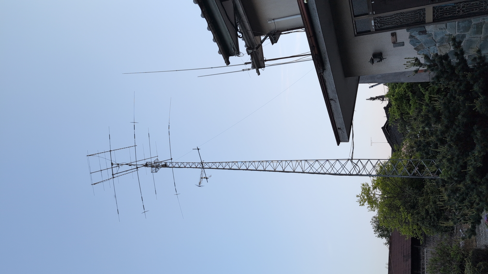
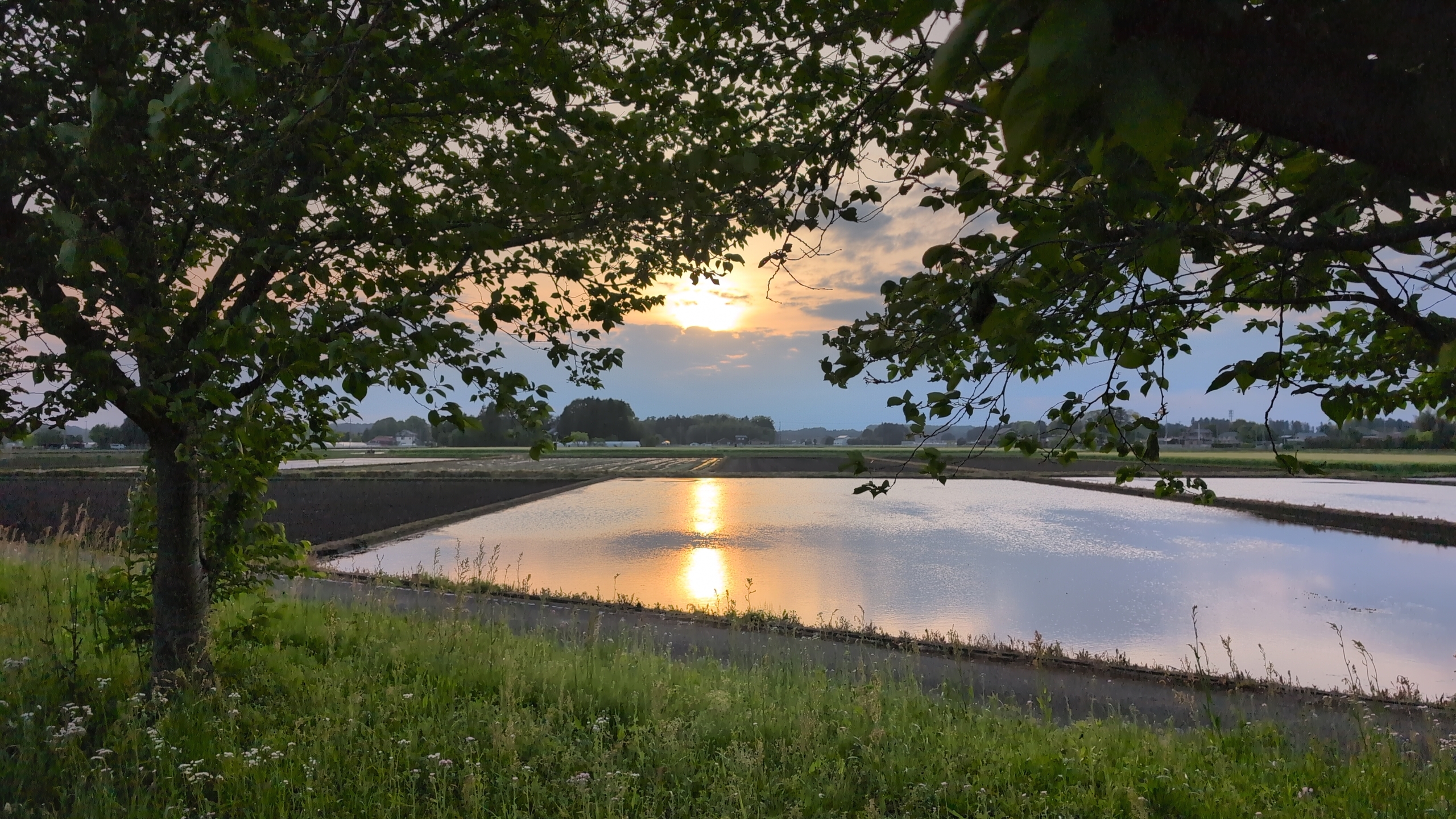
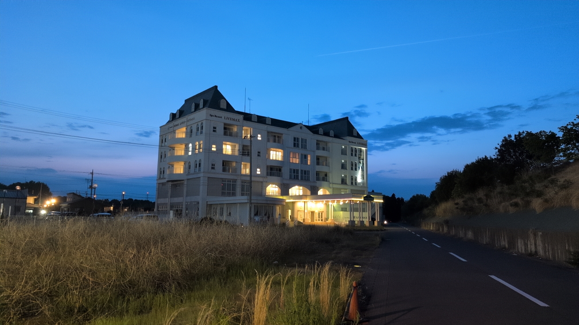
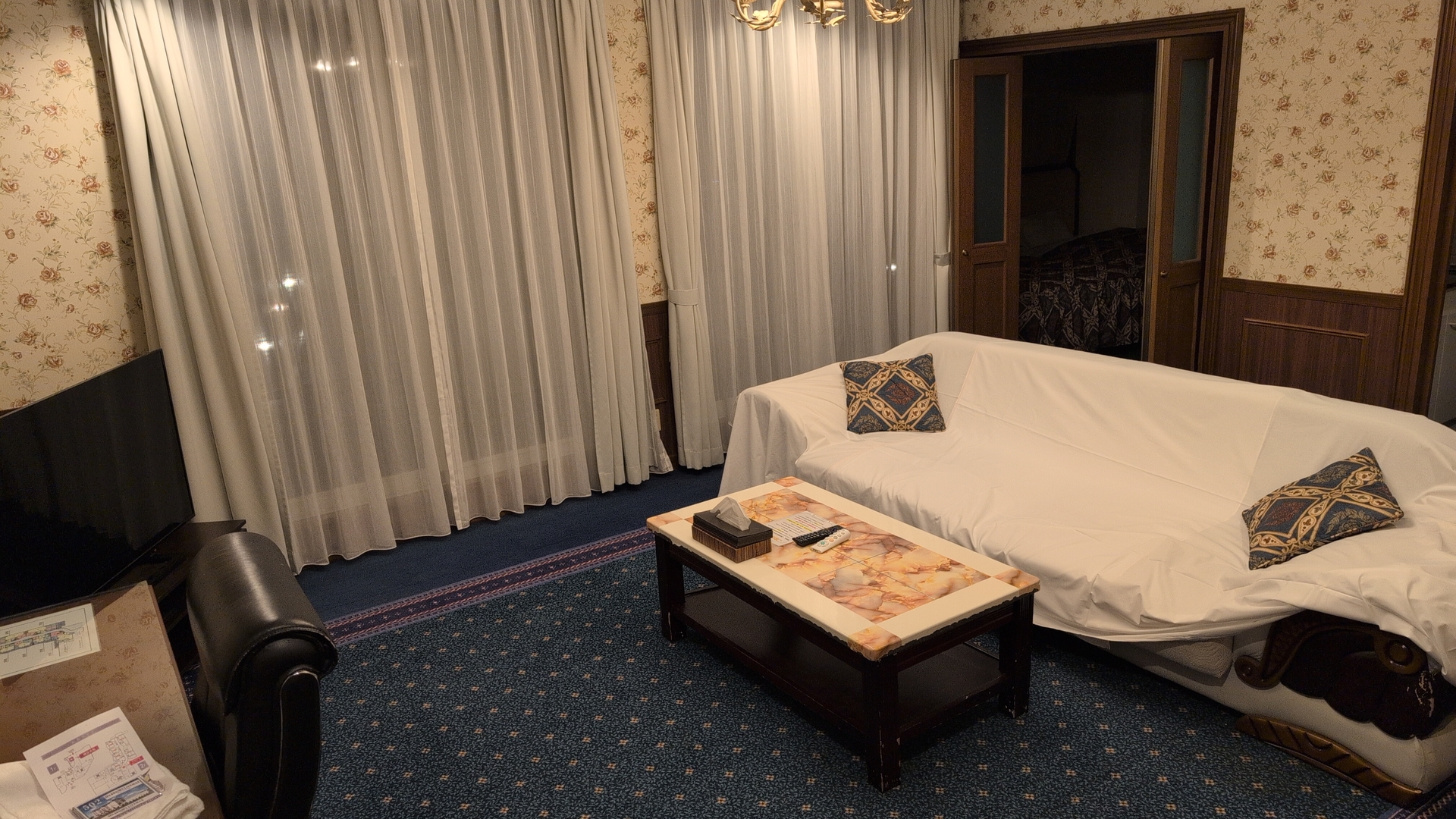
I left around 4pm, and saw a great sunset. Had to attach the light to the bike, navigation also turned to dark mode. This aprt of the trip was 44km, took 3.5h. I spotted HAM radio antennas, but had no time to look for the operator and talk. The hotel room turned out to be a full apartment, many times bigger than my 2 rooms in Tokyo.
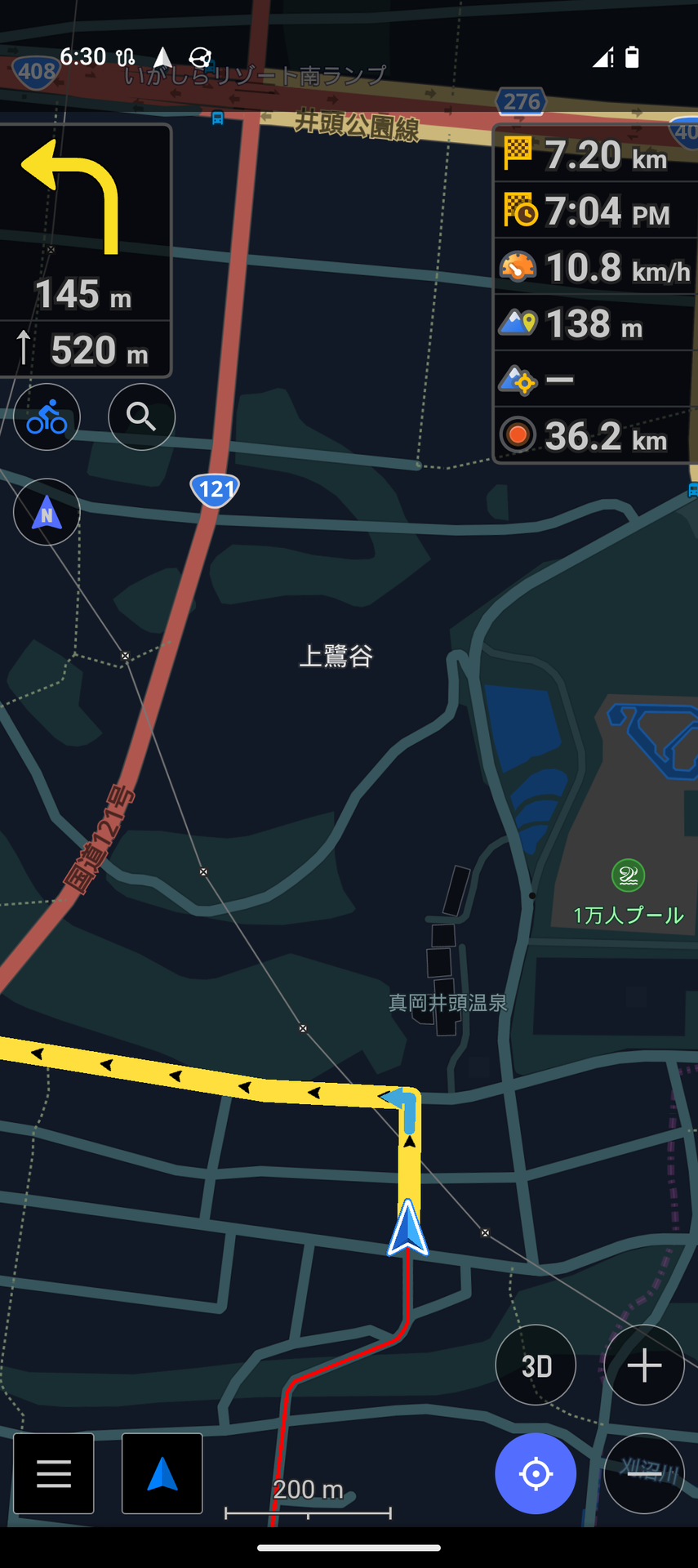
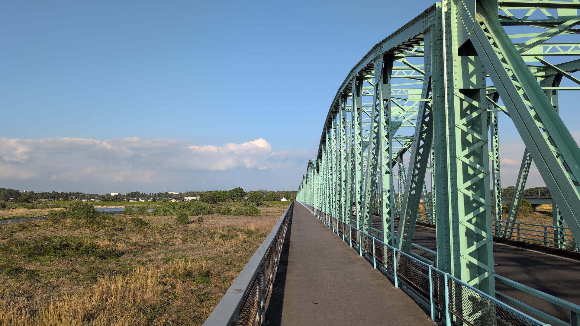
Trip back
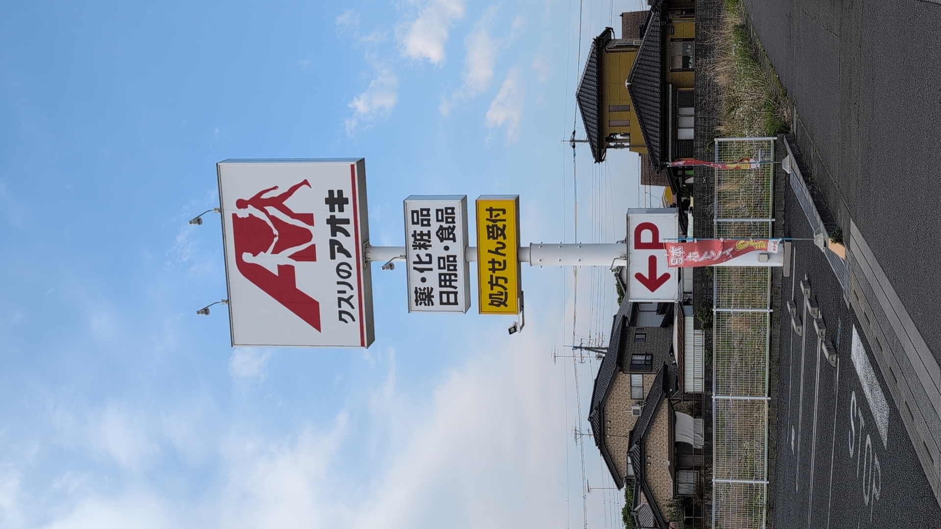
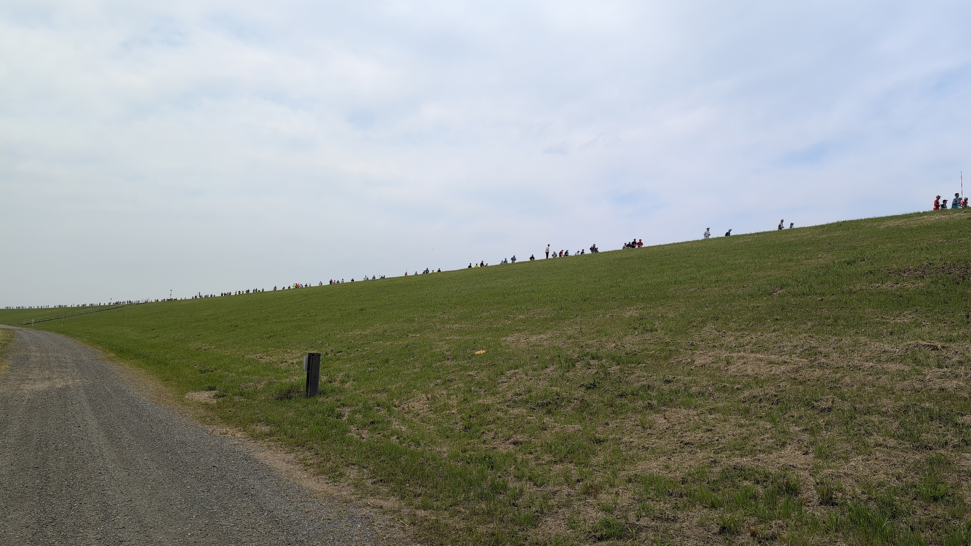
The trip back to Tokyo was 117km, took 9 hours. Weather was nice, I saw another bikers meet point, before coming back to the Kitchen place, and Tokyo. The thing with “クスリのアオキ”: the first 3 letters are almost the representation of how I sign my mails in Japanese, クリス (“Chris”). On this plate, it reads “kusuri”, so medicine.
What’s now left is to eat the pa-rukan fruit which I got,
and to do washing.
Corrections? Questions? -> Fediverse thread